The Geography of
Mississippi
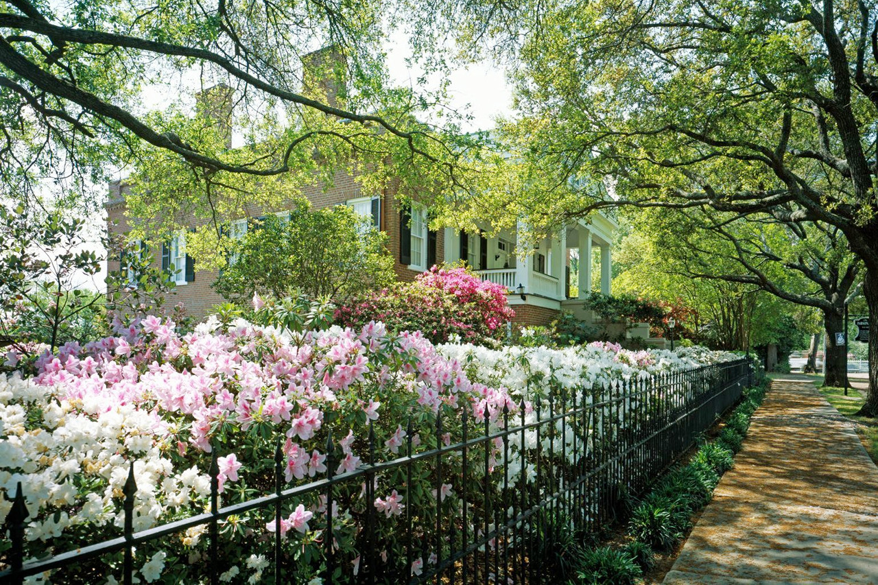
Why visit Mississippi?
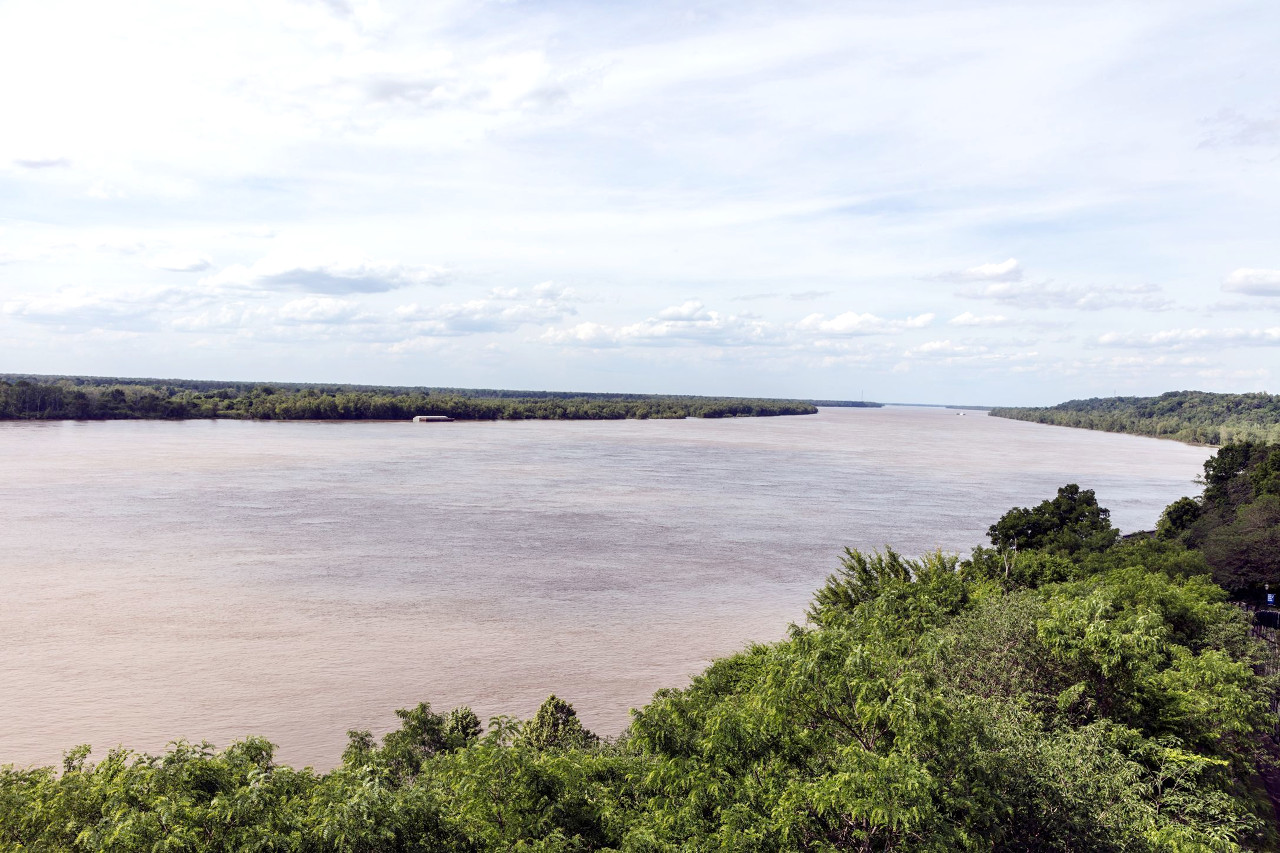
Mississippi borrows its name from the mighty river that bounds the state on the west. It is a largely rural state with a distinctive regional culture that makes it a popular tourist destination for those seeking a respite from urban life. There are lovely small towns, lively waterfront communities and plenty of tourist spots to explore such as Vicksburg National Military Park (Civil War site), the Yazoo Delta, the Natchez Trace Parkway, and the Gulf Islands National Seashore. Mississippi offers an excellent blend of history and contemporary life with interesting museums showcasing everything from civil rights activism to Elvis Presley memorabilia.
Map
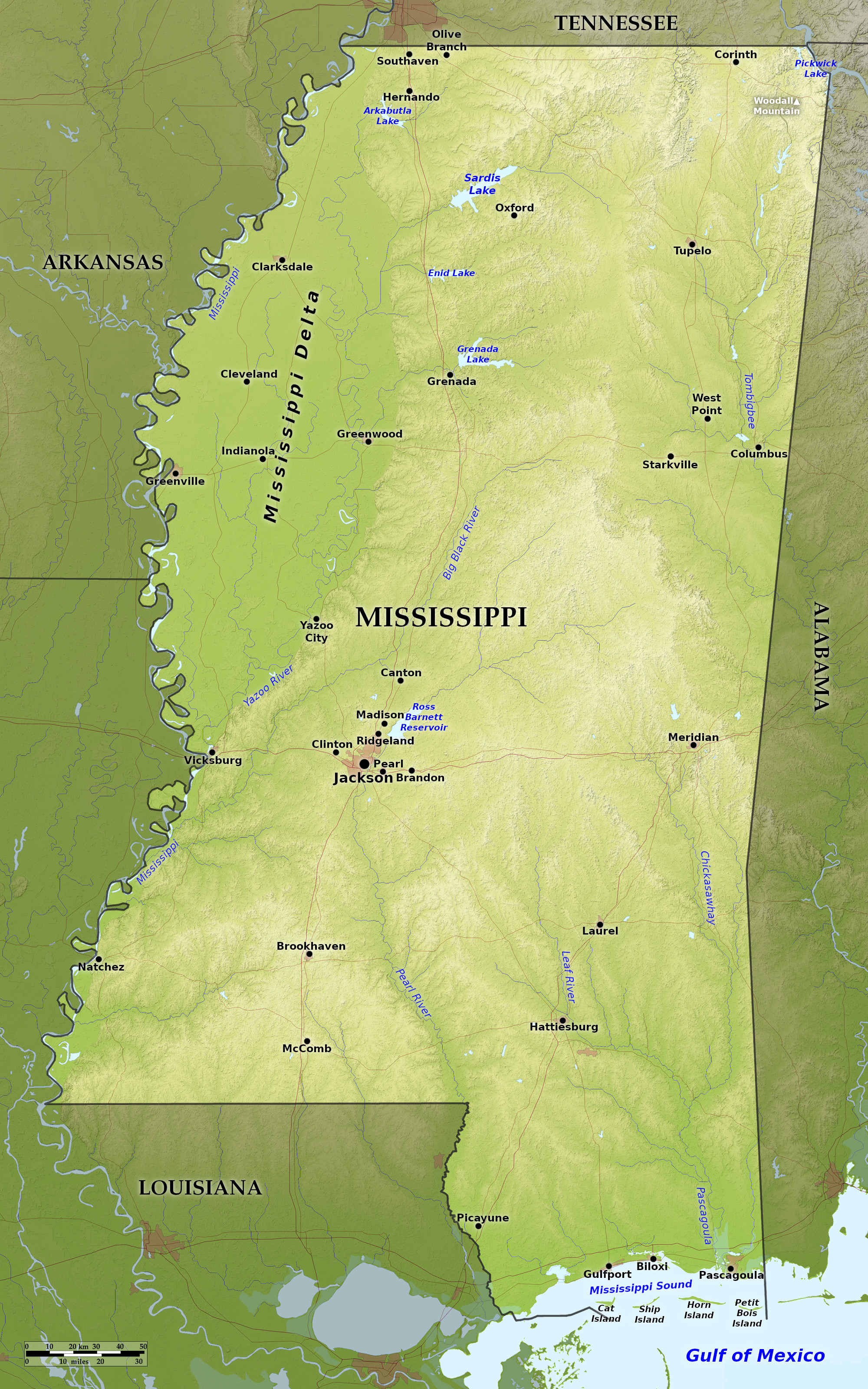 Relief map of Mississippi
What is the landscape of Mississippi like?
Mississippi Delta
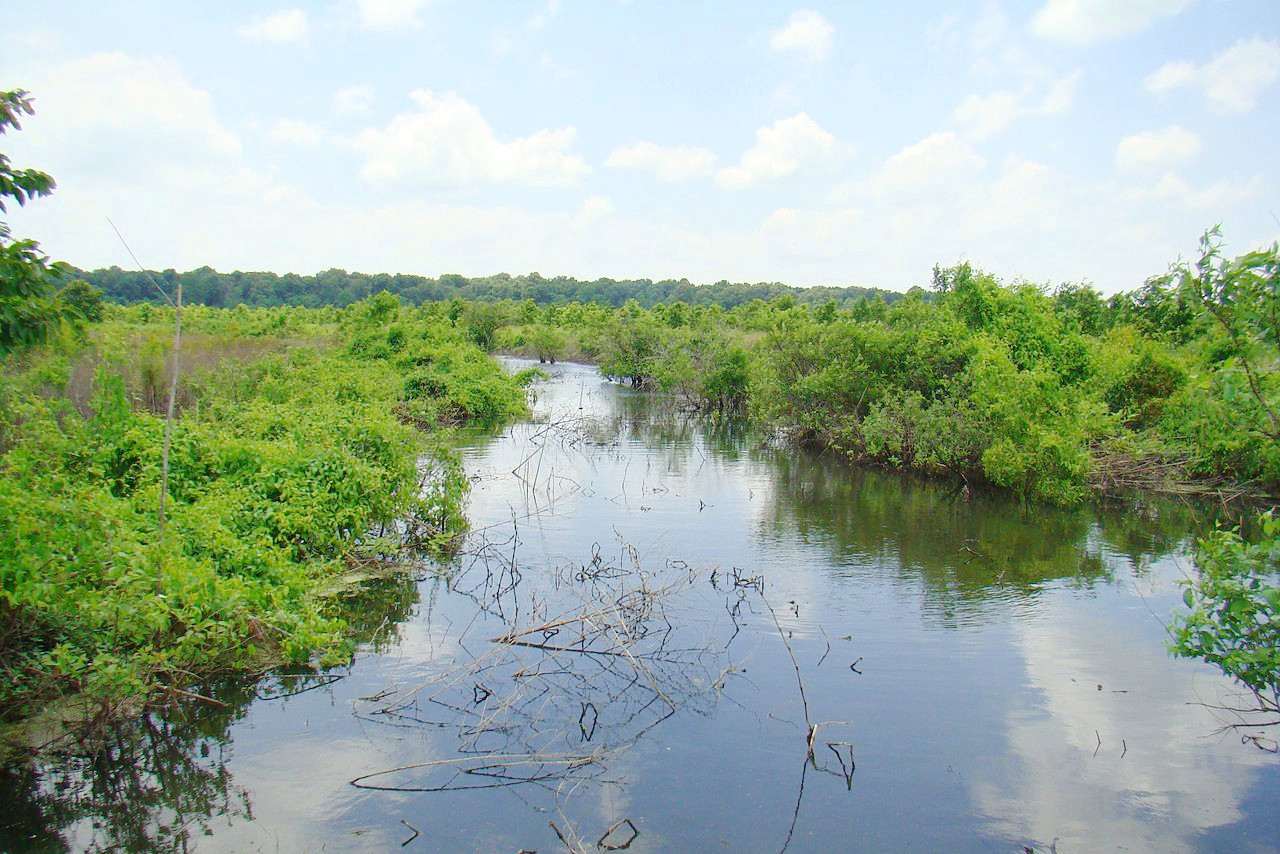
Extending eastward from the Mississippi River is the Mississippi Delta. It is very narrow south of Vicksburg but stretches as much as a third of the way across the state farther north where it has an average width of more than 60 miles. Along the eastern border of this delta extends a belt of hills or bluffs, which is cut by deep ravines and, though very narrow in the north, has in the south an average width of about 10 miles.
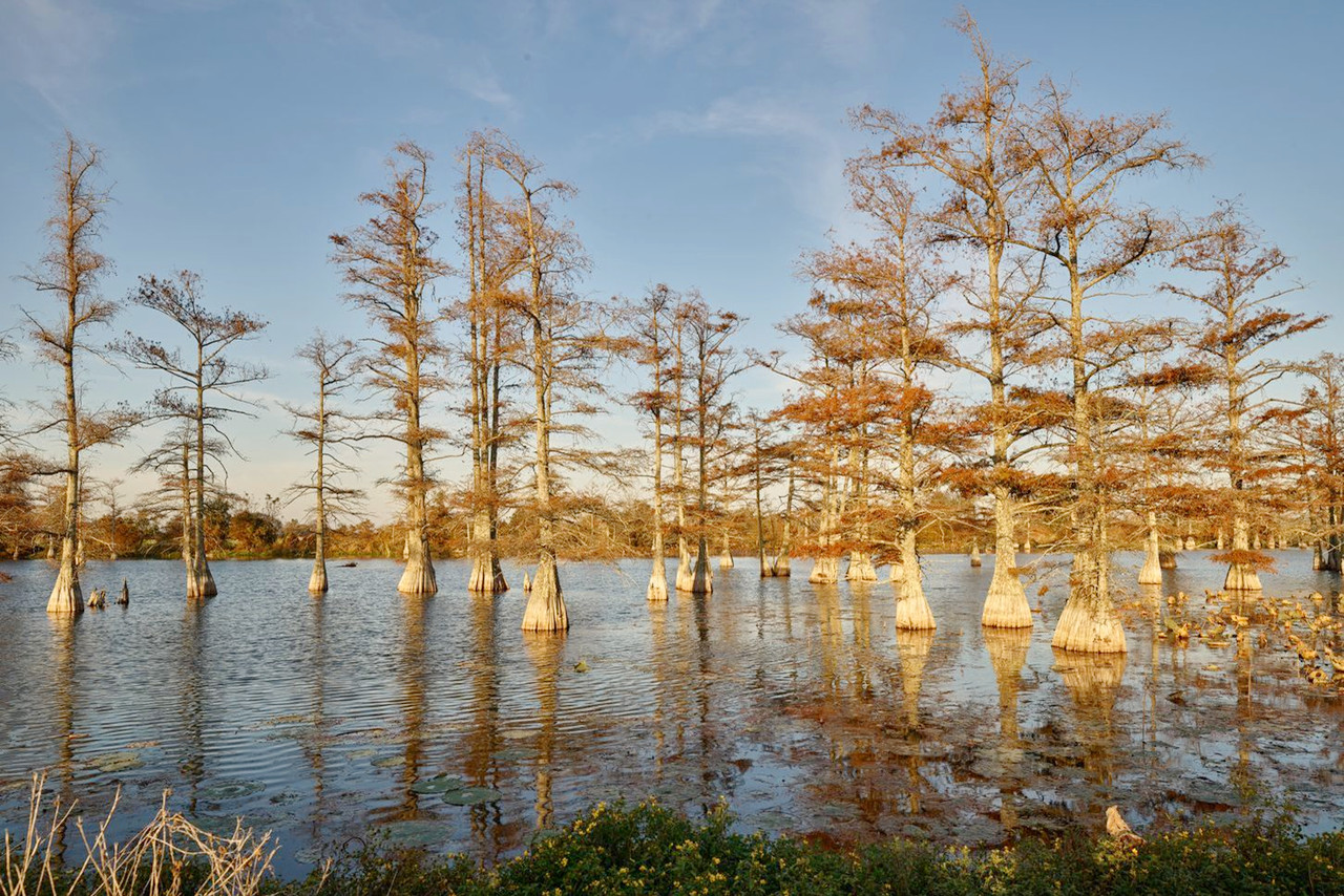
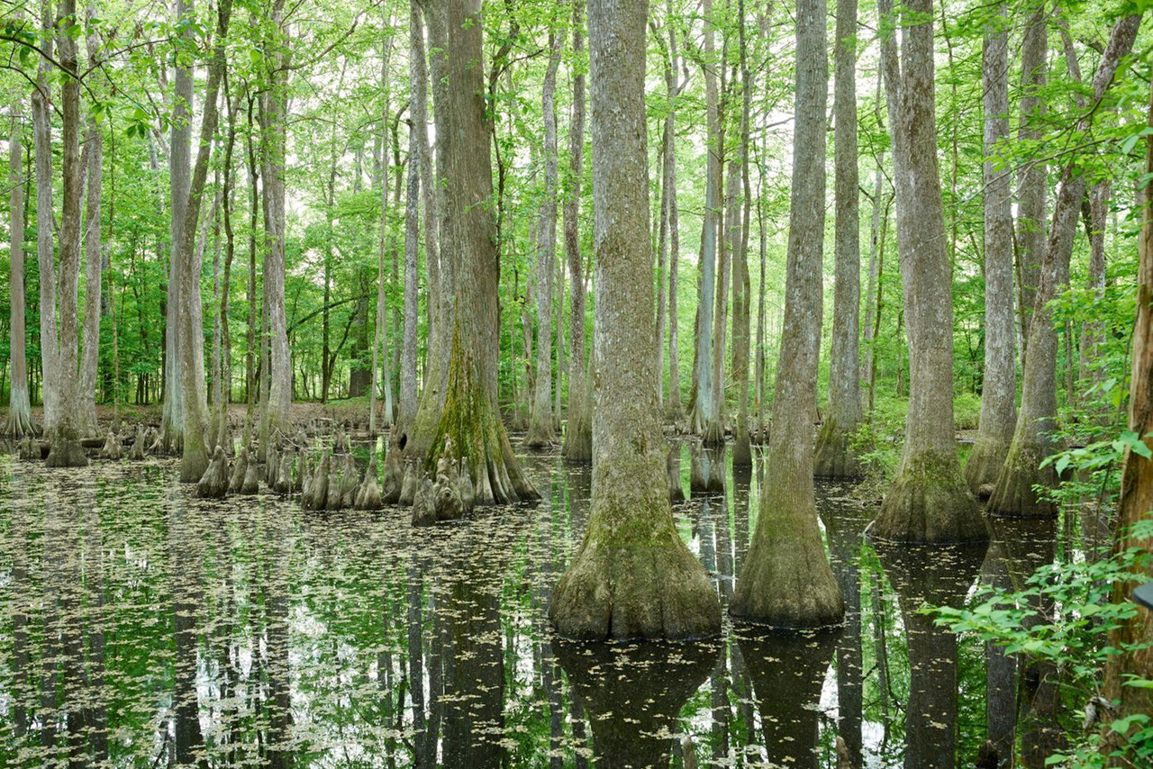
"Low winter light catches the cypress trees in a swamp near Dublin, Mississippi" by Carol M. Highsmith
Some of this land retains its former swampy condition, although manmade levees along the Mississippi River itself prevent overflows in many place. The smaller rivers are meandering, with many bayous, cutoffs, and sloughs. Numerous small lakes—called oxbow lakes because of their curved shape—extend along the western edge of the state; once part of the Mississippi River, they were formed when the river changed its course.
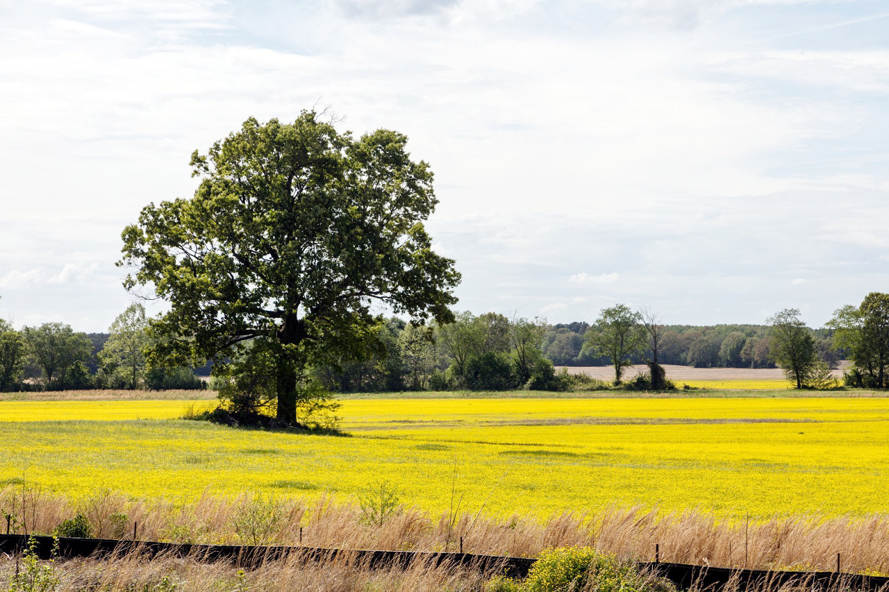
Uplands
East of the Mississippi Delta are level or gently rolling prairies belonging to the Gulf Coastal Plain. This is an upland comprising approximately five-sixths of the entire area of the state. Mississippi's generally hilly landscape reaches its maximum elevation, 806 feet (246 m), at Woodall Mountain in the northeastern corner of the state. From this high point there is an almost imperceptible slope south and west from the Appalachian Mountain system. Along the margins of valleys there are hills rising from 30 to 120 feet (10–40 m), but farther back from the water courses the differences of height are much less.
The larger rivers of the State are fed by smaller rivers, and their fall is usually gentle and quite uniform. The valleys vary in width from a few hundred yards to several miles. In the east of the state many of the valleys of the larger rivers are several feet above the rivers' present high-water mark and forms the "second bottom" lands. Mississippi's longest river within the State is the Pearl River, flowing about 490 miles (790 km) from the eastern center of the state to the Gulf of Mexico. The State's largest lakes—Grenada, Sardis, Enid, and Arkabutlaare all manmade.
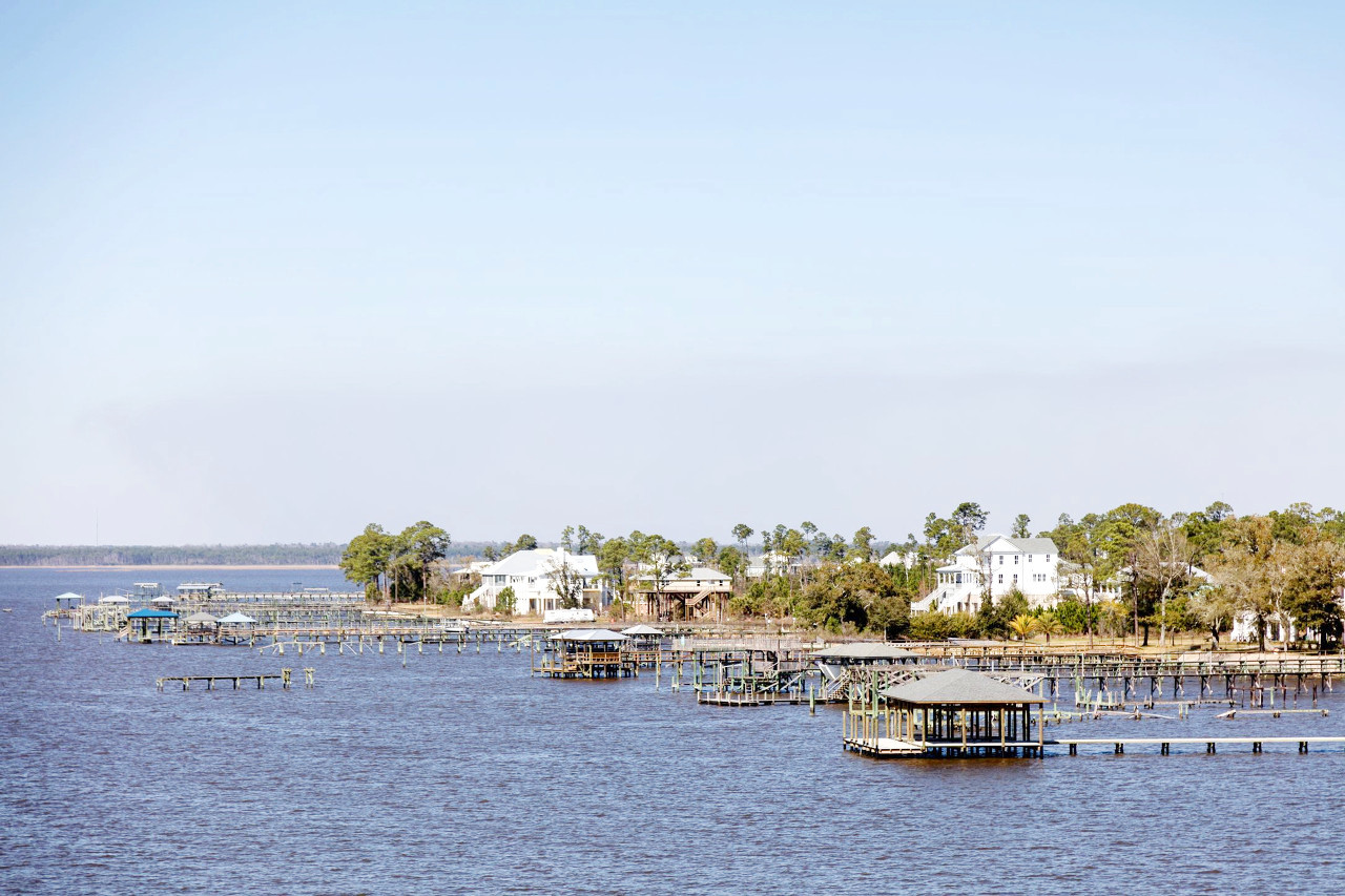
The Coast
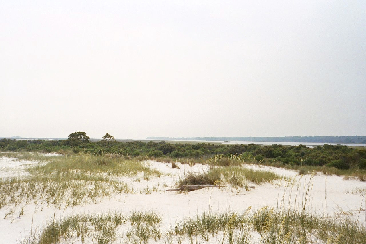
The coastline of Mississippi is a low, marshy tract about 85 miles long. It is bordered by a beach of white sand, and broken by several small and shallow bays; separated from it by the shallow Mississippi Sound is a chain of low, long and narrow sand islands, the largest of which are Petit Bois, Horn, Ship, and Cat Island.
What is the nature of Mississippi like?
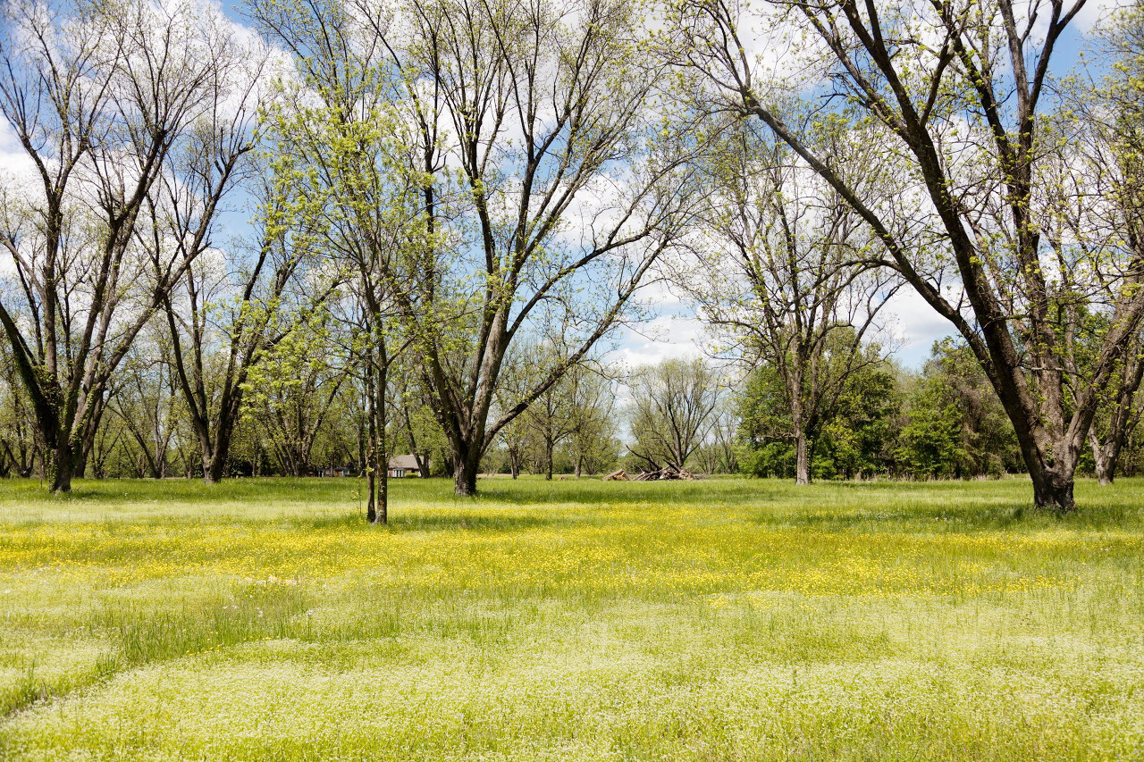
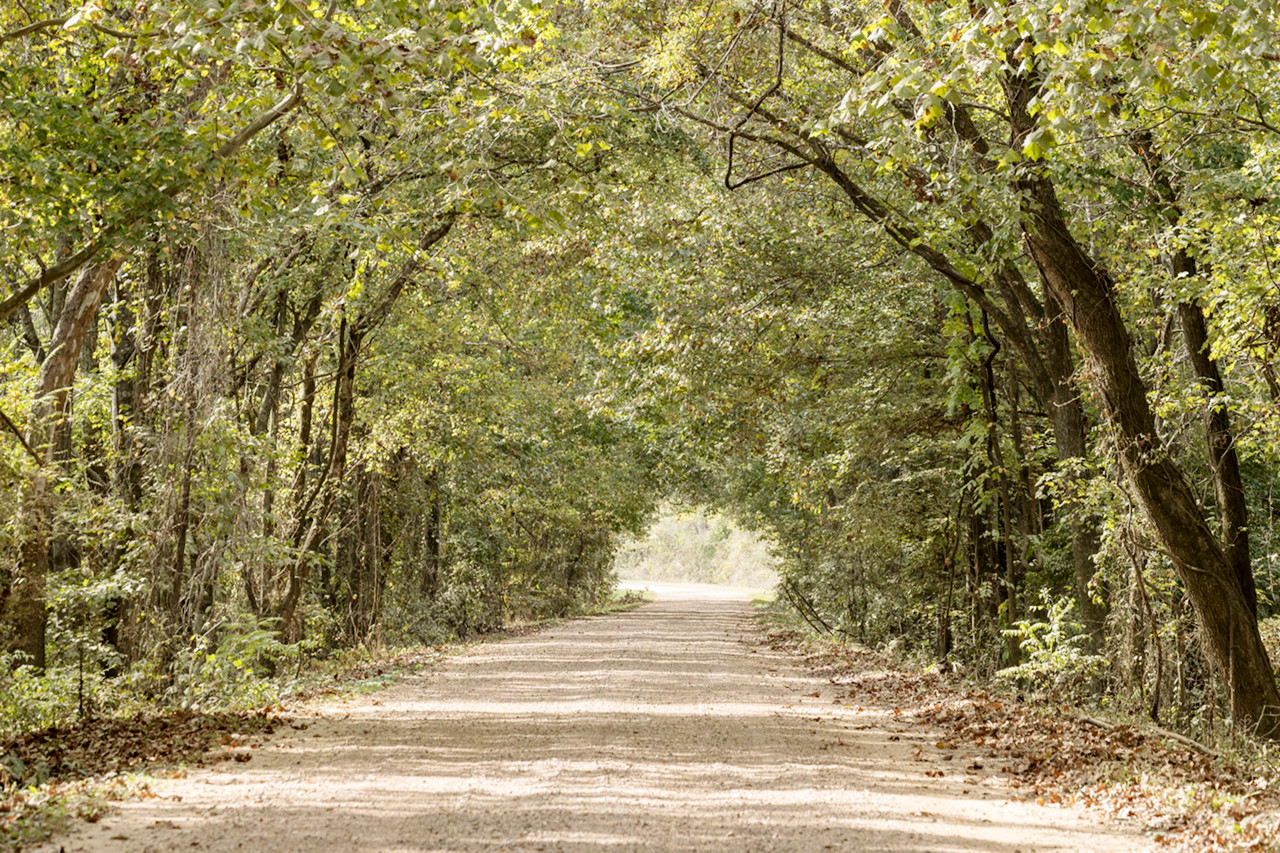
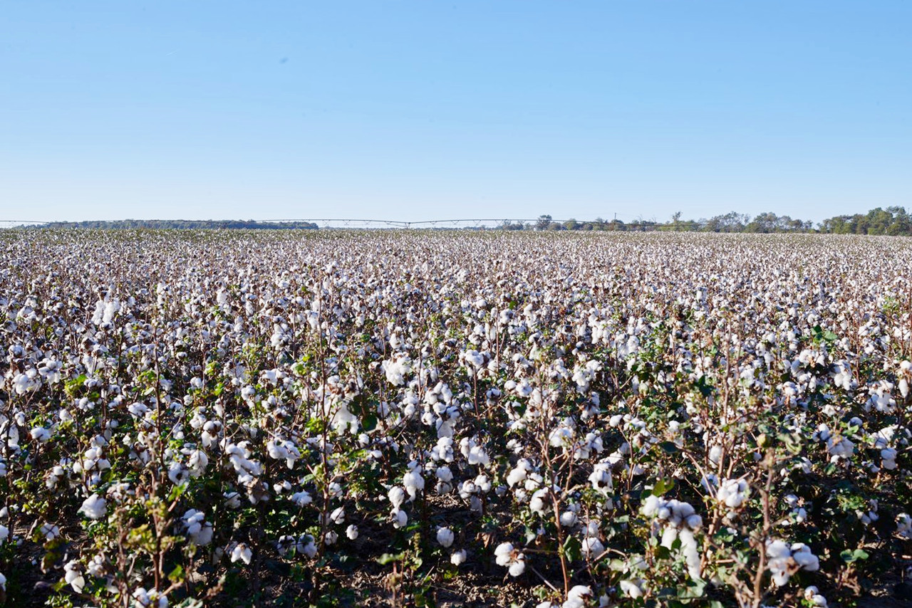
Originally Mississippi was almost entirely covered with a growth of large forest trees, and about two-thirds of its area is still forest. The north central part of the state is mostly level and heavily forested. There are more than 120 species of trees in the state, 15 species of oak alone. Longleaf pine is predominant in the low southern third of the state; the shortleaf pine is found farther north. Post oaks and white oaks, hickory, maple, and magnolia grow in the forests of the uplands. Cottonwood and red gum are found chiefly on the rich alluvial lands; and the cypress is found chiefly in the marshes of the Delta. The beautiful live oaks and magnolias grow in the south of the state; the holly in the lowlands.
Among the shrubs are the blackberry, dewberry, strawberry, and yellow jasmine. In the eastern part of the State the prairies are covered with grass the greatest part of the year. Common wild flowers include the Virginia creeper, black-eyed Susan, and Cherokee rose.
What is the climate of Mississippi like?
Mississippi lies in a semi-tropic climate belt. The summers are hot, the winters are short and mild. January is the coldest month, and July is the warmest. During the winter the normal temperature decreases quite steadily from south to north, and a little snow sometimes falls in the northern half of the State. During the summer temperatures are hot everywhere, although the coast is cooled at night by breezes from the Gulf. The driest season is in September and October.
| Climate data for Jackson, Mississippi (1991–2020) | |||||||||||||
|---|---|---|---|---|---|---|---|---|---|---|---|---|---|
| Month | Jan | Feb | Mar | Apr | May | Jun | Jul | Aug | Sep | Oct | Nov | Dec | Year |
| Average high °F (°C) | 57.4 (14.1) | 62.0 (16.7) | 69.4 (20.8) | 76.5 (24.7) | 83.8 (28.8) | 89.9 (32.2) | 92.1 (33.4) | 92.2 (33.4) | 87.8 (31.0) | 78.3 (25.7) | 67.2 (19.6) | 59.6 (15.3) | 76.4 (24.7) |
| Daily mean °F (°C) | 47.0 (8.3) | 50.9 (10.5) | 57.9 (14.4) | 64.9 (18.3) | 72.9 (22.7) | 79.6 (26.4) | 82.1 (27.8) | 81.8 (27.7) | 76.9 (24.9) | 66.2 (19.0) | 55.4 (13.0) | 49.1 (9.5) | 65.4 (18.6) |
| Average low °F (°C) | 36.6 (2.6) | 39.8 (4.3) | 46.4 (8.0) | 53.3 (11.8) | 62.1 (16.7) | 69.4 (20.8) | 72.2 (22.3) | 71.5 (21.9) | 66.0 (18.9) | 54.2 (12.3) | 43.6 (6.4) | 38.7 (3.7) | 54.5 (12.5) |
| Average precipitation inches (mm) | 5.42 (138) | 5.10 (130) | 5.68 (144) | 5.84 (148) | 4.36 (111) | 4.43 (113) | 5.02 (128) | 4.69 (119) | 3.48 (88) | 3.80 (97) | 4.40 (112) | 5.13 (130) | 57.35 (1,457) |
| Source: NOAA | |||||||||||||
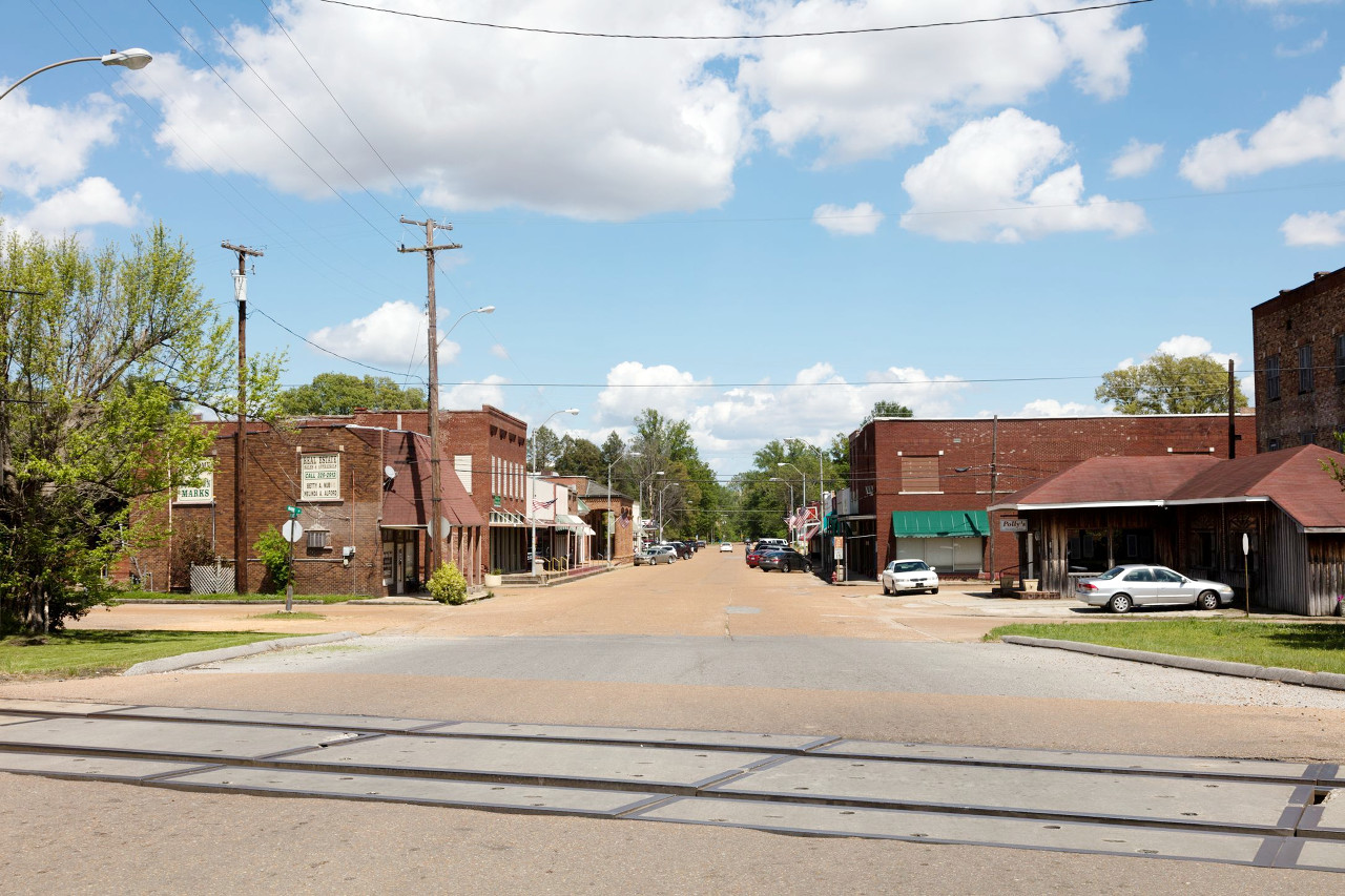 Street scene in Marks, a town in Quitman County, Mississippi
The official websites
Mississippi
The Magnolia State
| Location: | Eastern south-central United States bordering the Gulf of Mexico |
| Coordinates: | 32° 45′ N, 89° 45′ W |
| Size: | • 565 km N-S; 300 km E-W • 350 miles N-S; 190 miles E-W |
| Terrain: | Generally hilly landscape extending eastward from the plain of the Mississippi Delta. |
| Climate: | Short winters and long, hot, humid summers |
| Highest point: | Woodall Mountain 246 m / 806 ft |
| Forest: | 65% (2016) (source) |
| Population: | 2,976,149 (2019) |
| Population density: | Low (25/km²) |
| Capital: | Jackson |
| Languages: | English |
| Human Development Index: | Very High (0.871) |