The Geography of
Arkansas
Why visit Arkansas?
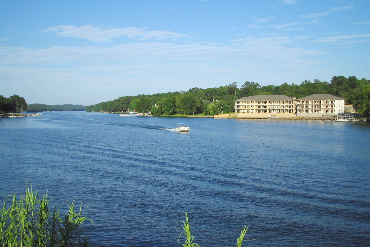
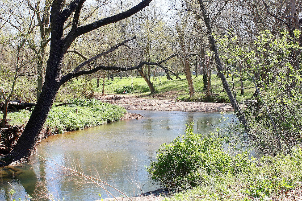
Arkansas is a state with a lot of natural beauty—it has a lot of forests, lakes, and rivers. It has the most diverse landscape of any state in the central Mississippi valley. The region is just filled with hills, rolling valleys, mineral springs, and fertile plains, from the Ozark Mountains in the west to the Mississippi lowlands in the east; the Arkansas River in the middle; and many nature reserves including Hot Springs National Park.
Map
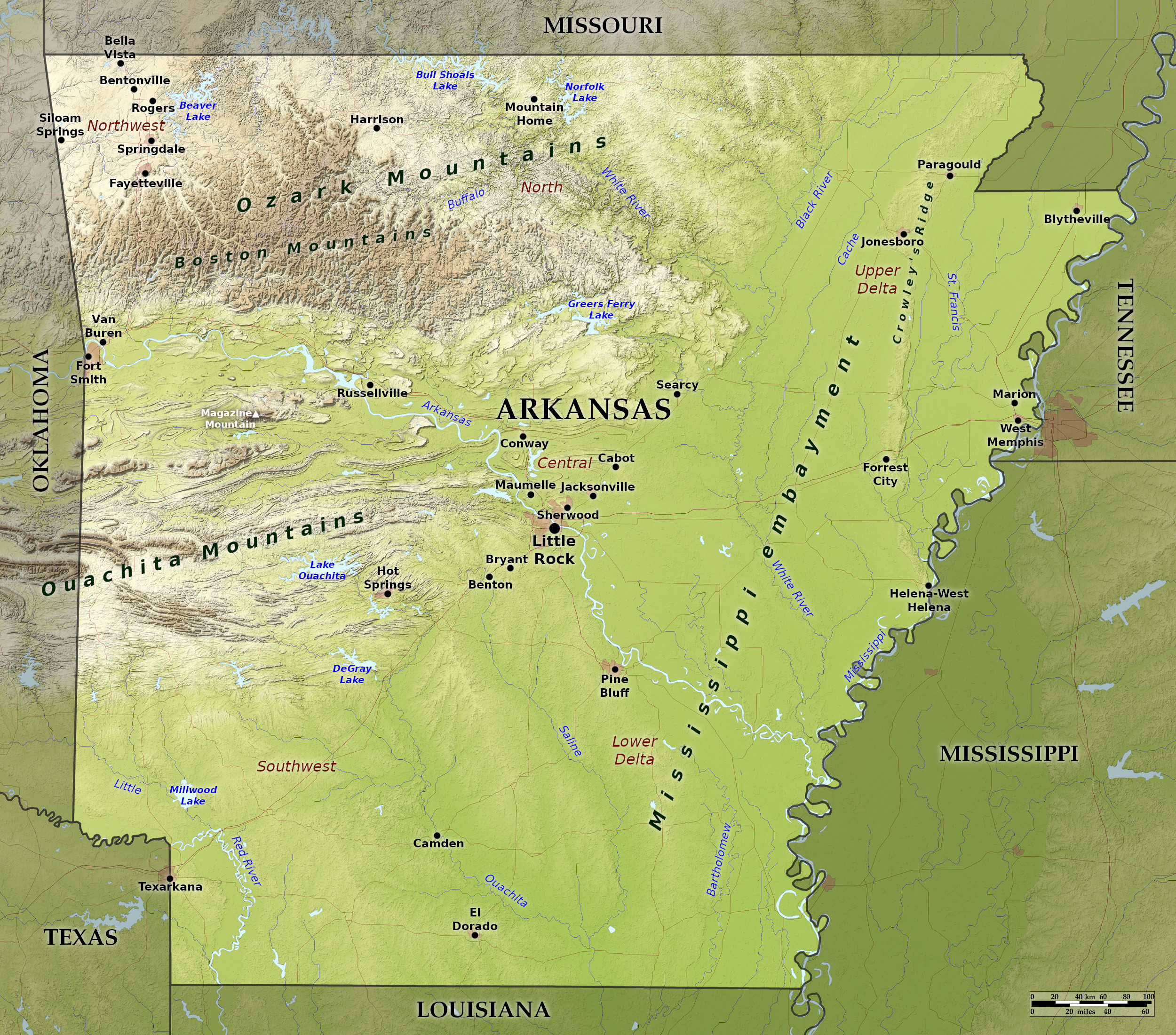 Relief map of Arkansas
What is the landscape of Arkansas like?
Arkansas has two main regions: lowlands and scanty prairie in the east, and highlands in the west.
Eastern lowlands
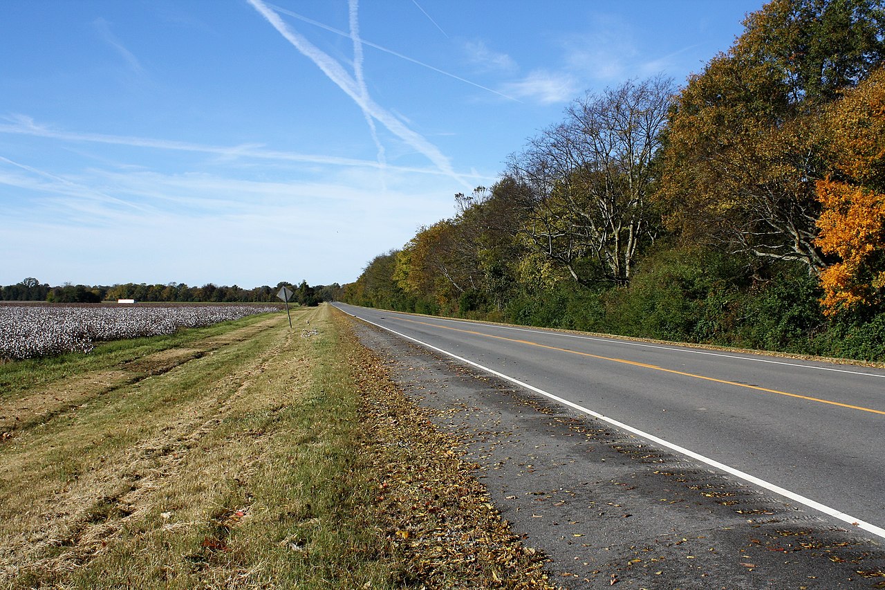
The eastern half of the state is a region of hills, lowlands and scanty prairie. It is part of the Gulf or Coastal Plain of the United States. The valley region embraces the bottom-lands along the Mississippi River, and the cypress swamp country of the northeast part of the State. Crowley's Ridge, a unique strip of hills formed by sedimentary deposits, lies west of and parallel to the St. Francis River for about 180 miles (290 km). The ridge is rich in fossils and has an unusual diversity of plant life.
Western highlands
Western Arkansas is divided by the valley of the Arkansas river into two region. South of the river are the Ouachita Mountains, and north of it are the Boston Mountains. These are the only mountain chains between the Appalachians and the Rockies. The Ouachitas extend 200 miles, from within Oklahoma to central Arkansas, near Little Rock. They have long, low ridges heading generally west-to-east, with wide, flat valleys. The hills are highest near the western boundary of the state, and fall in elevation towards the east.
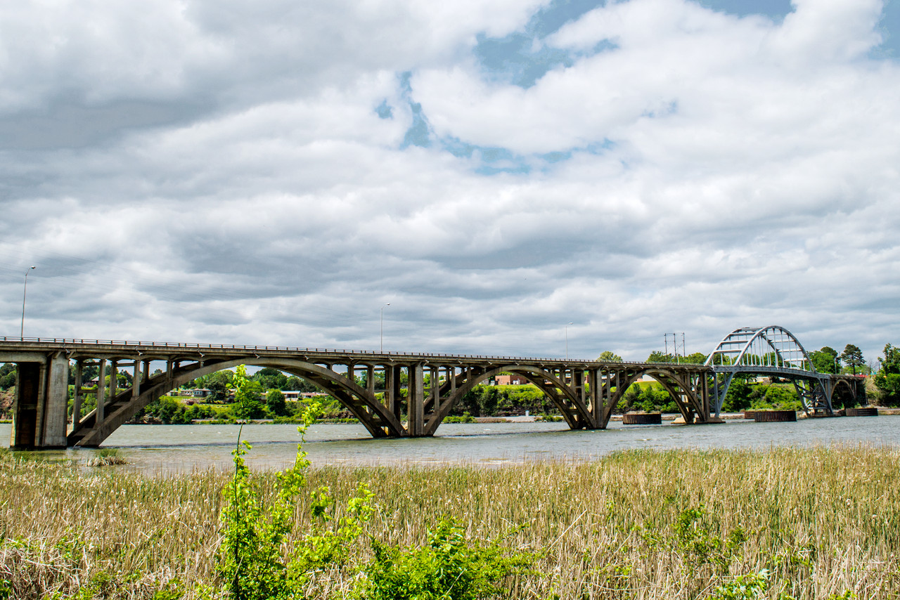
The wide valley of the Arkansas River which begins in Colorado and flowing 1,450 miles (2,300 km) through Kansas and Oklahoma and across central Arkansas to the Mississippi. The highest elevation in Arkansas, at 2,753 ft (840 m), is Magazine Mountain, standing north of the Ouachitas in the Arkansas River Valley.
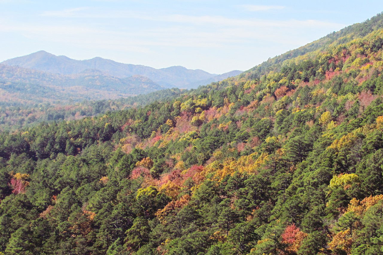
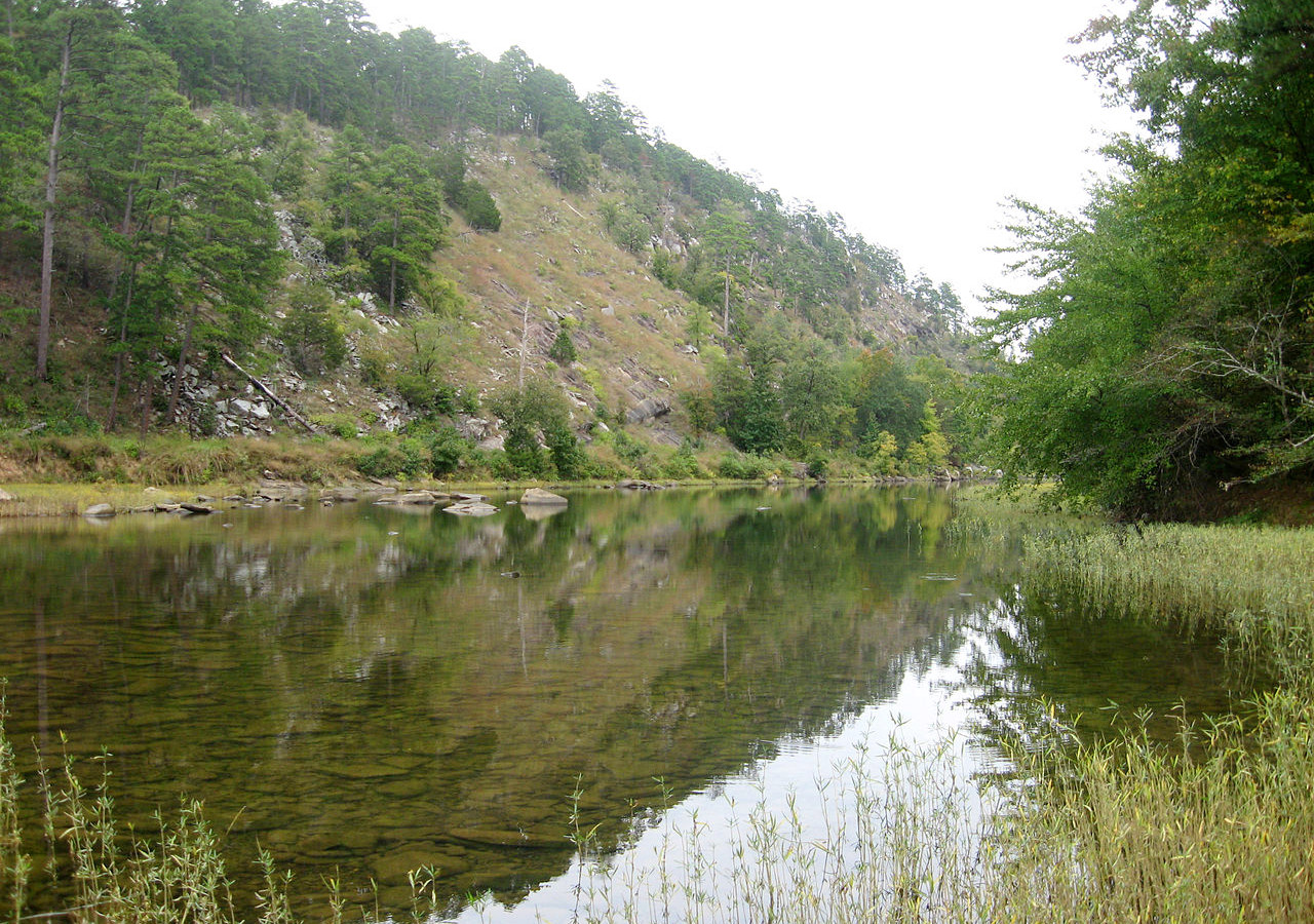
In the north are the Boston Mountains, which are the highest portion of the Ozark Mountains, and the most picturesque. The streams are vigorous, and in their lower courses flow in deep-cut gorges, 500 to 1,000 feet (150–300 m) deep, almost deserving the name of canyons. In the far northwest the mountains become a greatly eroded highland region. Along the upper course of the White river in the Bostons and in the country about Hot Springs in the Ouachitas is found the most beautiful scenery of the highlands; few regions are more beautiful.
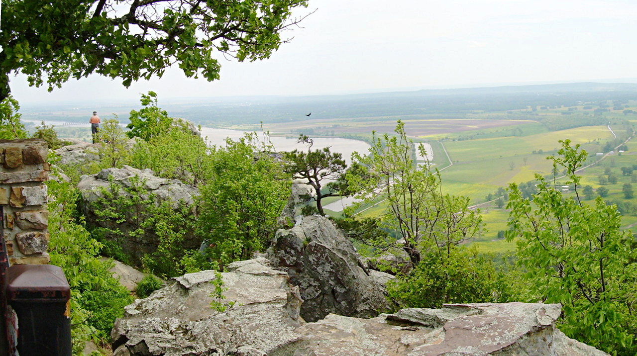 View over the Arkansas River, Petit Jean State Park
What is the nature of Arkansas like?
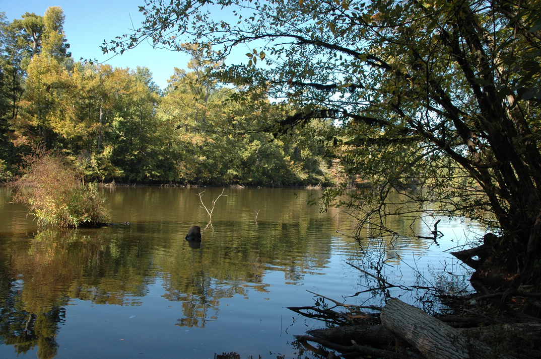
Arkansas possesses rich forests which cover over half its area. Trees are of great variety: cypresses, water oak, hickory, and ash grow in the Mississippi Valley, while the St. Francis Valley is home to the rare cork tree. Crowley's Ridge is thick with tulip trees and beeches. A forest belt of oak, hickory, and pine stretches across south-central and southwestern Arkansas, covering the Ozark and Ouachita mountains. The Mexican juniper is common along the White River's banks. The growth on the river valleys and the lower uplands is very vigorous, and some species, such as the holly, the osage orange and the pecan, attain their fullest growth in Arkansas. The state has at least 26 native varieties of orchid, and passion flowers are abundant everywhere.
What is the climate of Arkansas like?
Arkansas has a temperate climate, with hot summers and mild winters. In general the climate is warmer and more humid in the southern lowlands than in the mountainous regions. July temperatures throughout the state average between 70°F (21°C) and 90°F (32°C), while January temperatures range from 30°F to 50°F (0°C to 10°C). There is little snow, no severe winter cold, and no summer drought.
| Climate data for Little Rock (1991−2020) | |||||||||||||
|---|---|---|---|---|---|---|---|---|---|---|---|---|---|
| Month | Jan | Feb | Mar | Apr | May | Jun | Jul | Aug | Sep | Oct | Nov | Dec | Year |
| Average high °F (°C) | 50.5 (10.3) | 55.2 (12.9) | 63.7 (17.6) | 72.8 (22.7) | 80.5 (26.9) | 88.2 (31.2) | 91.7 (33.2) | 91.5 (33.1) | 85.1 (29.5) | 74.2 (23.4) | 61.9 (16.6) | 52.6 (11.4) | 72.3 (22.4) |
| Daily mean °F (°C) | 40.7 (4.8) | 44.7 (7.1) | 52.7 (11.5) | 61.4 (16.3) | 69.9 (21.1) | 78.0 (25.6) | 81.4 (27.4) | 80.8 (27.1) | 74.0 (23.3) | 62.6 (17.0) | 51.1 (10.6) | 43.0 (6.1) | 61.7 (16.5) |
| Average low °F (°C) | 30.9 (−0.6) | 34.2 (1.2) | 41.8 (5.4) | 50.1 (10.1) | 59.3 (15.2) | 67.7 (19.8) | 71.2 (21.8) | 70.1 (21.2) | 62.9 (17.2) | 50.9 (10.5) | 40.2 (4.6) | 33.3 (0.7) | 51.0 (10.6) |
| Average precipitation inches (mm) | 3.50 (89) | 3.97 (101) | 4.96 (126) | 5.59 (142) | 5.08 (129) | 3.55 (90) | 3.33 (85) | 3.16 (80) | 3.01 (76) | 4.47 (114) | 4.72 (120) | 5.08 (129) | 50.42 (1,281) |
| Source: NOAA | |||||||||||||
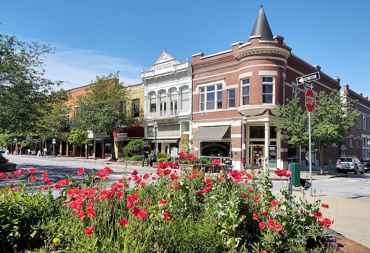 Fayetteville Historic Square, Arkansas
The official websites
Arkansas
The Natural State
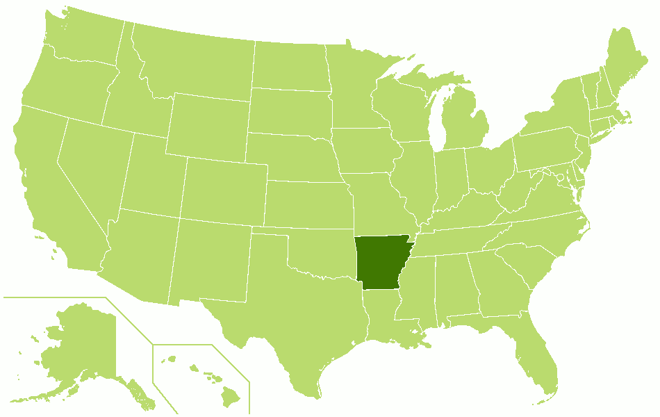
| Location: | South-central United States |
| Coordinates: | 35° 00′ N, 92° 30′ W |
| Size: | • 385 km N-S; 435 km E-W • 240 miles N-S; 270 miles E-W |
| Terrain: | Lowlands in the south and east. Highlands in the northwest divided by the Arkansas River |
| Climate: | Temperate climate with warmer temperatures and more humidity in the southern lowlands than in the mountains. |
| Highest point: | Mount Magazine 839 m / 2,753 ft |
| Forest: | 56% (2016) (source) |
| Population: | 3,017,804 |
| Population density: | Low (22/km²) |
| Capital: | Little Rock |
| Languages: | English |
| Human Development Index: | Very High (0.886) |
