
The Geography of
New Hampshire
Why visit New Hampshire?
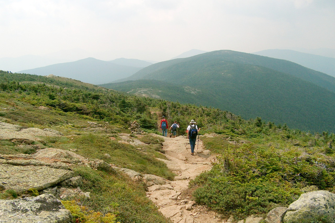
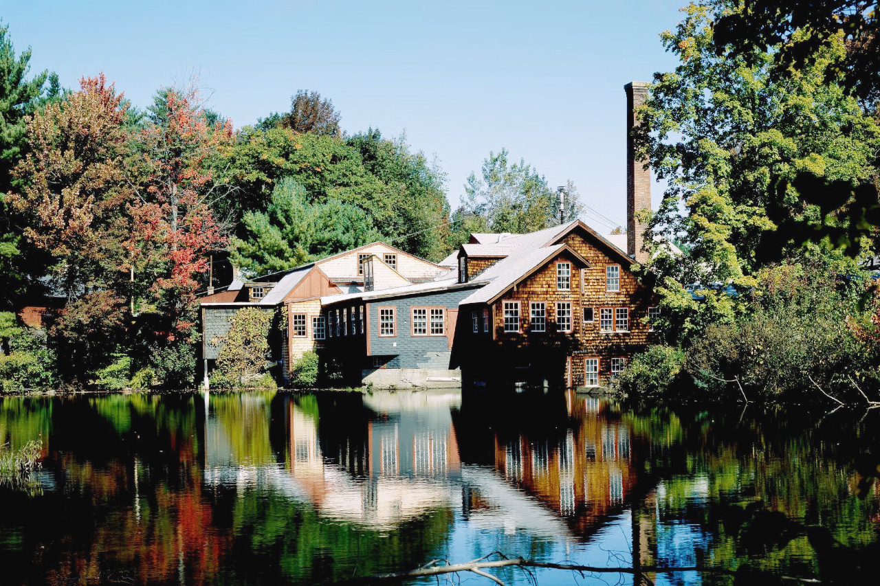
New Hampshire has long been known for its spectacular scenery and natural beauty. The state is home to a wide variety of landscapes, from the rolling hills of the White Mountains to the New England coast. The White Mountains include Mount Washington, the tallest peak east of the Rockies (with its cog railway). Wherever you go you are surrounded by rolling hills and quaint villages, with plenty of lakes, rivers and forests to explore.
Contents
Map
 Relief map of New Hampshire
What is the landscape of New Hampshire like?
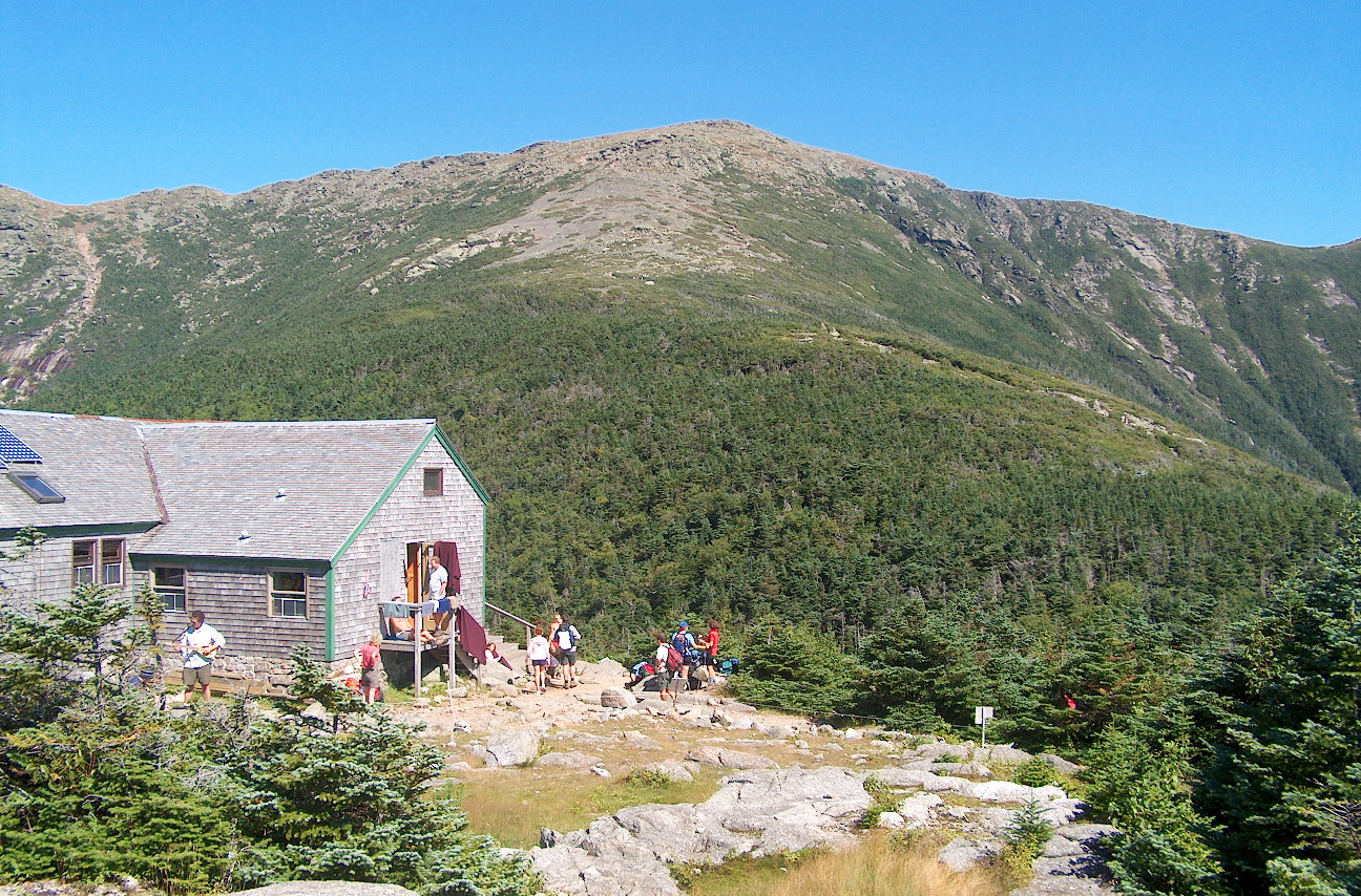
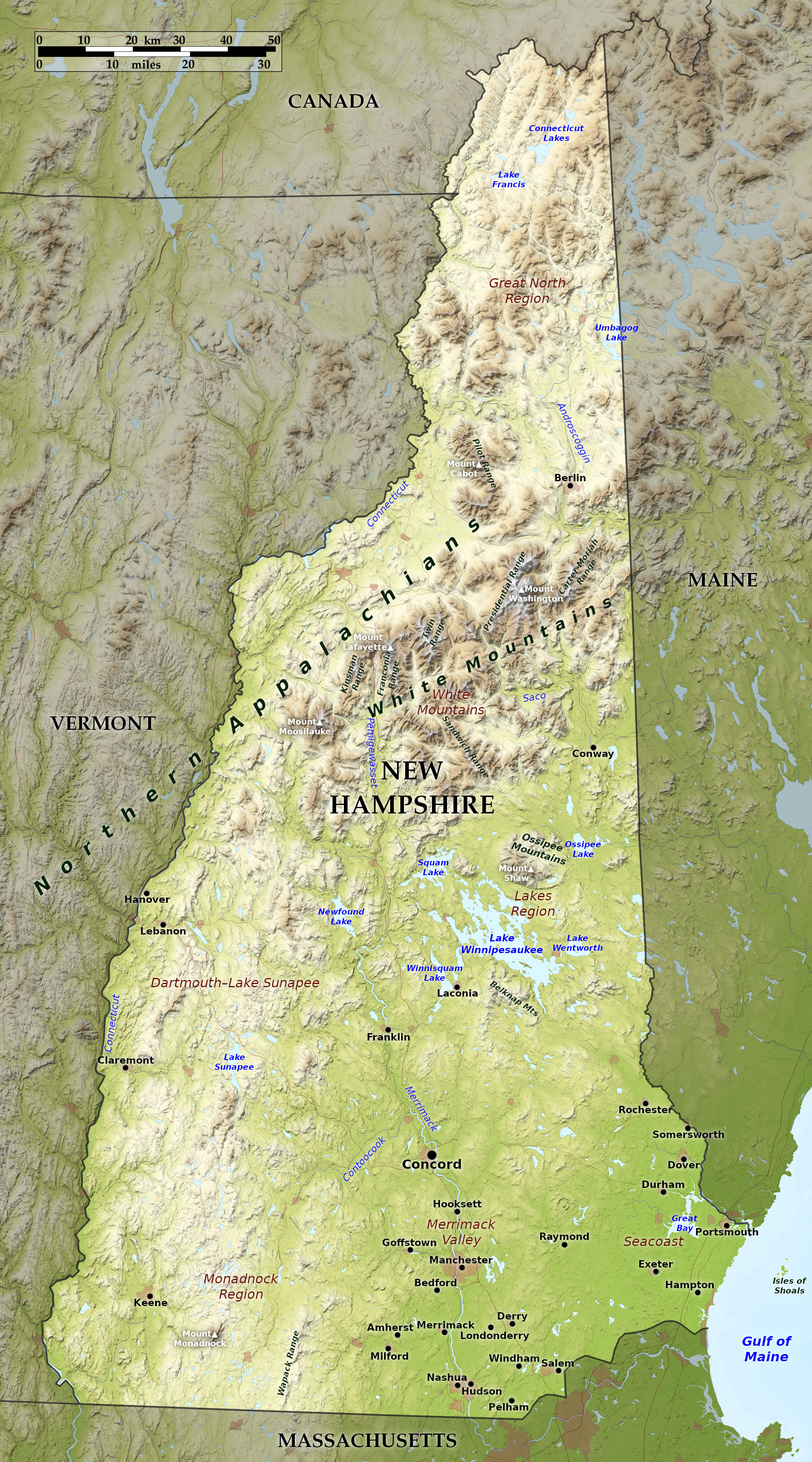
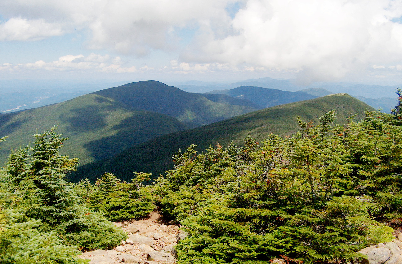
The delightful scenery of mountains, lakes, streams and woodlands gives New Hampshire the appearance of a vast and beautiful park; and the state is a favourite summer tourist destination. In the north central portion, the White Mountains, a continuation of the Appalachians, rise very abruptly in several short ranges to generally rounded summits, the heights of several of which are nowhere exceeded in the eastern part of the United States except in the mountains of North Carolina. The highest, Mount Washington, reaches a height of 6,288 feet (1,917 m).
The principal ranges have a northeast-to-southwest trend. The Presidential range, in the northeast of the White Mountains, is about 20 miles in length; here are Mount Washington and nine other peaks exceeding 5,000 feet (1,500 m). In the Franconia mountains, a shorter range further west, are Mount Lafayette, 5,249 feet (1,600 m); Mount Lincoln, 5,089 feet (1,551 m); and four others exceeding 4000 feet (1200 m).
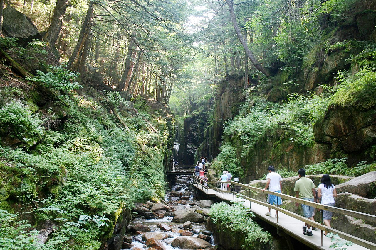
The whole White Mountain region abounds in deep narrow valleys, romantic glens, ravines, rapids, waterfalls, brooks and lakes. The region north of the White Mountains is occupied by ridges and wide rolling valleys, the ridges rising occasionally to heights of 2,000 feet (600 m) or more. The region south of the mountains is a part of the New England Uplands—broken by residual mountains, or “monadnocks” (a term derived from Mount Monadnock, 3,170 feet (966 m) high, near the southwest corner of the state) and oval hills, or drumlins.
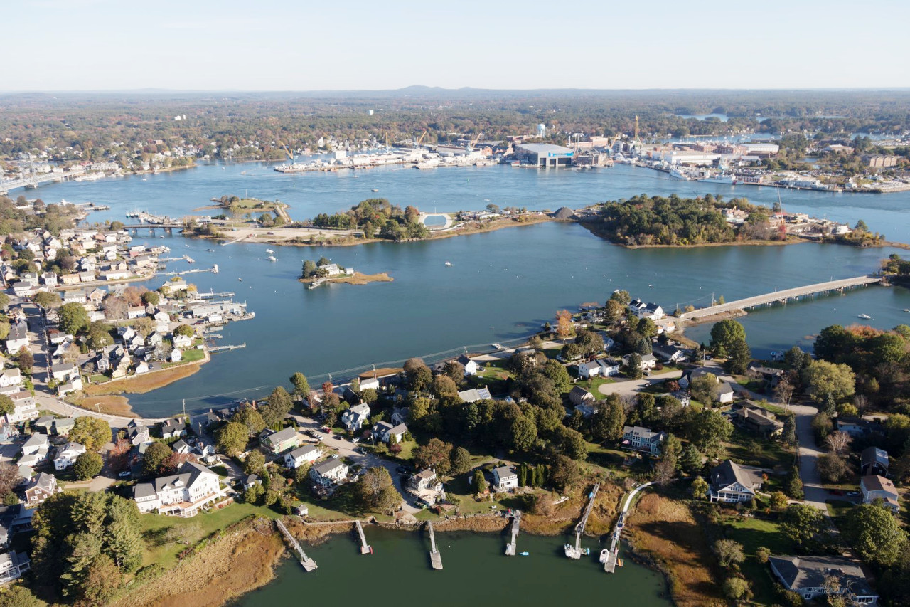
East of the Merrimac Valley is the only low portion of the State; but even here are numerous ridges 1,000 feet (300 m) in height or more, and small drumlins. The seashore, about 18 miles in length, is for the most part a low sandy beach; here and there, however, especially to the north, it is somewhat rocky. The main harbour is at Portsmouth near the mouth of the Piscataqua River. About 9 miles from the shore are the nearly barren Isles of Shoals, nine in number.
The glacial lakes and pools, numbering several hundred, are scarcely less attractive than that of the mountains. The largest and most widely known is Lake Winnepesaukee to the south of the White Mountains; this is about 20 miles long and from 1 to 8 miles wide, is dotted with more than 200 islands.
What is the nature of New Hampshire like?
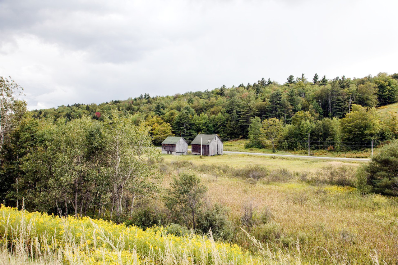
New Hampshire is renowned for its abundant forests. In the valleys, and the comparatively low southeastern parts of New Hampshire, white pine is abundant. Above the white pine region, on the hills and lower mountain slopes this species gives way to the northern hardwoods in which beech, birch and sugar maple are the characteristic species. The higher mountains are covered with stands of spruce and balsam fir.
The butternut, hickory and chestnut are common nut-bearing trees in the south. Fruit-bearing trees, shrubs and vines include the bird cherry, black cherry, blueberry, cranberry, raspberry, blackberry, gooseberry, strawberry, grape and blackcurrant; and among the very great variety of shrubs and flowering plants are the rose, dogwood, laurel, sumac, holly, winterberry, trilliums, anemones, arbutuses, violets, azaleas, eglantine, clematis, blue gentians, orange lilies, orchids, asters and golden rod. The summits of some of the mountains are too high for trees and above belts of dwarf spruce, balsam and birch they are clothed chiefly with sandworts, diapensia, cassiope, rushes, sedges and lichens.
What is the climate of New Hampshire like?
Summers in New Hampshire are mild and the winters are usually long and severe, but the climate varies across the State. The greatest extremes of temperature occur in the deep mountain valleys which sometimes are scorching hot in summer, and frigid in winter. Higher up on the mountains it is never so warm and along the sea-coast both extremes are considerably less. Rainfall is distributed is evenly throughout the year, but summer and autumn are slightly more wet than winter and spring.
| Climate data for Concord, New Hampshire (1991−2020) | |||||||||||||
|---|---|---|---|---|---|---|---|---|---|---|---|---|---|
| Month | Jan | Feb | Mar | Apr | May | Jun | Jul | Aug | Sep | Oct | Nov | Dec | Year |
| Average high °F (°C) | 31.6 (−0.2) | 34.8 (1.6) | 43.6 (6.4) | 57.5 (14.2) | 69.3 (20.7) | 77.8 (25.4) | 83.0 (28.3) | 81.7 (27.6) | 73.7 (23.2) | 60.9 (16.1) | 48.4 (9.1) | 37.1 (2.8) | 58.3 (14.6) |
| Daily mean °F (°C) | 22.3 (−5.4) | 24.7 (−4.1) | 33.4 (0.8) | 45.4 (7.4) | 56.7 (13.7) | 65.8 (18.8) | 71.1 (21.7) | 69.5 (20.8) | 61.4 (16.3) | 49.3 (9.6) | 38.6 (3.7) | 28.3 (−2.1) | 47.2 (8.4) |
| Average low °F (°C) | 12.9 (−10.6) | 14.7 (−9.6) | 23.3 (−4.8) | 33.3 (0.7) | 44.1 (6.7) | 53.7 (12.1) | 59.2 (15.1) | 57.2 (14.0) | 49.0 (9.4) | 37.8 (3.2) | 28.7 (−1.8) | 19.5 (−6.9) | 36.1 (2.3) |
| Average precipitation inches (mm) | 2.80 (71) | 2.75 (70) | 3.28 (83) | 3.43 (87) | 3.47 (88) | 3.77 (96) | 3.62 (92) | 3.63 (92) | 3.63 (92) | 4.43 (113) | 3.44 (87) | 3.70 (94) | 41.95 (1,066) |
| Average snowfall inches (cm) | 17.1 (43) | 16.9 (43) | 13.6 (35) | 2.5 (6.4) | 0.0 (0.0) | 0.0 (0.0) | 0.0 (0.0) | 0.0 (0.0) | 0.0 (0.0) | 0.8 (2.0) | 2.5 (6.4) | 14.3 (36) | 67.7 (172) |
| Source: NOAA | |||||||||||||
.jpg) Lake Umbagog National Wildlife Refuge
Lake Umbagog National Wildlife Refuge
.jpg&oldid=478569925)
The official websites
New Hampshire
The Granite State
| Location: | Northeastern United States |
| Coordinates: | 43° 45′ N, 71° 30′ W |
| Size: | • 290 km N-S; 150 km E-W • 180 miles N-S; 95 miles E-W |
| Terrain: | Coastal lowland in the southeast; uplands in the south and west; mountains in the north |
| Climate: | Short but warm summers; cold winters. Heavy winter snowfall. |
| Highest point: | Mount Washington 1,917 m / 6,288 ft |
| Forest: | 84% (2016) (source) |
| Population: | 1,366,275 (2020) |
| Population density: | Medium (57/km²) |
| Capital: | Concord |
| Languages: | English |
| Human Development Index: | Very High (0.948) |