.jpg)
The Geography of
Maine
Why visit Maine?
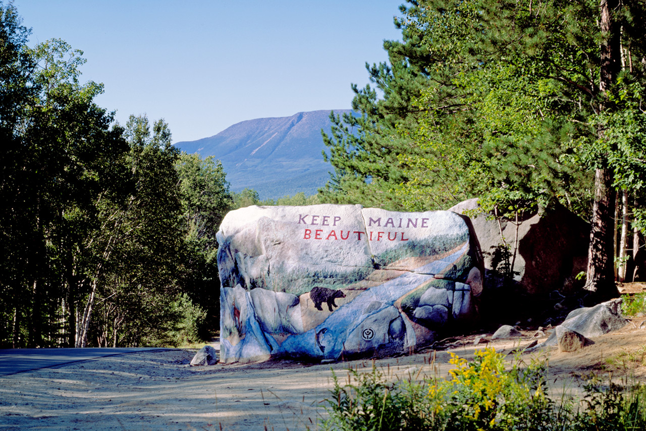
The scenery of Maine is absolutely stunning, and the landscapes change so much. Maine attracts more summer visitors than almost any other US state. It has a cool and refreshing summer climate; a picturesque coast with many islands; mountains, and beautiful lakes and rivers. As you travel further north, the landscapes start to become incredibly mountainous. Even in the most rural areas there are beautiful lakes and rivers, and forests everywhere.
Contents
Map
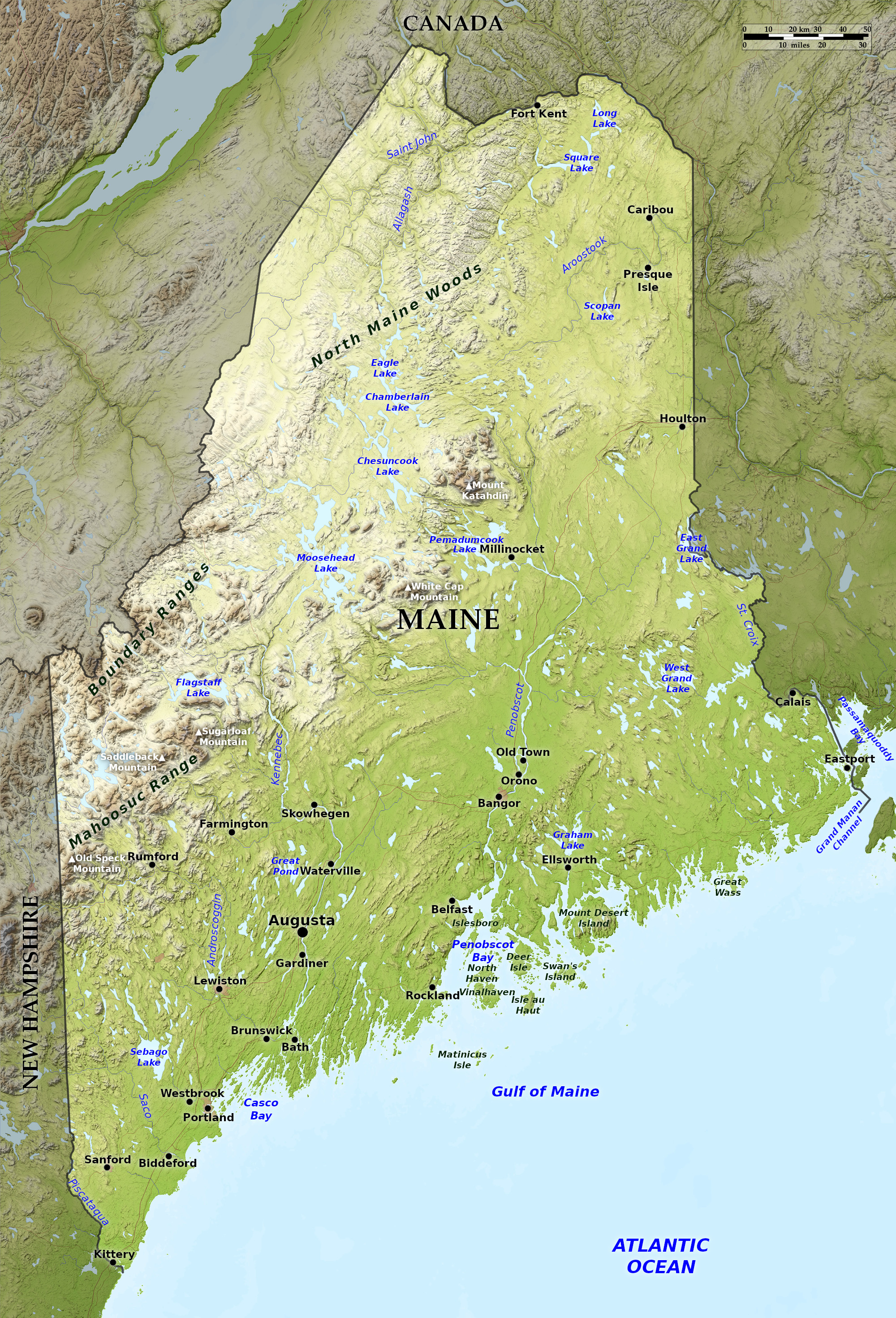 Relief map of Maine
What is the landscape of Maine like?
Coastal lowlands
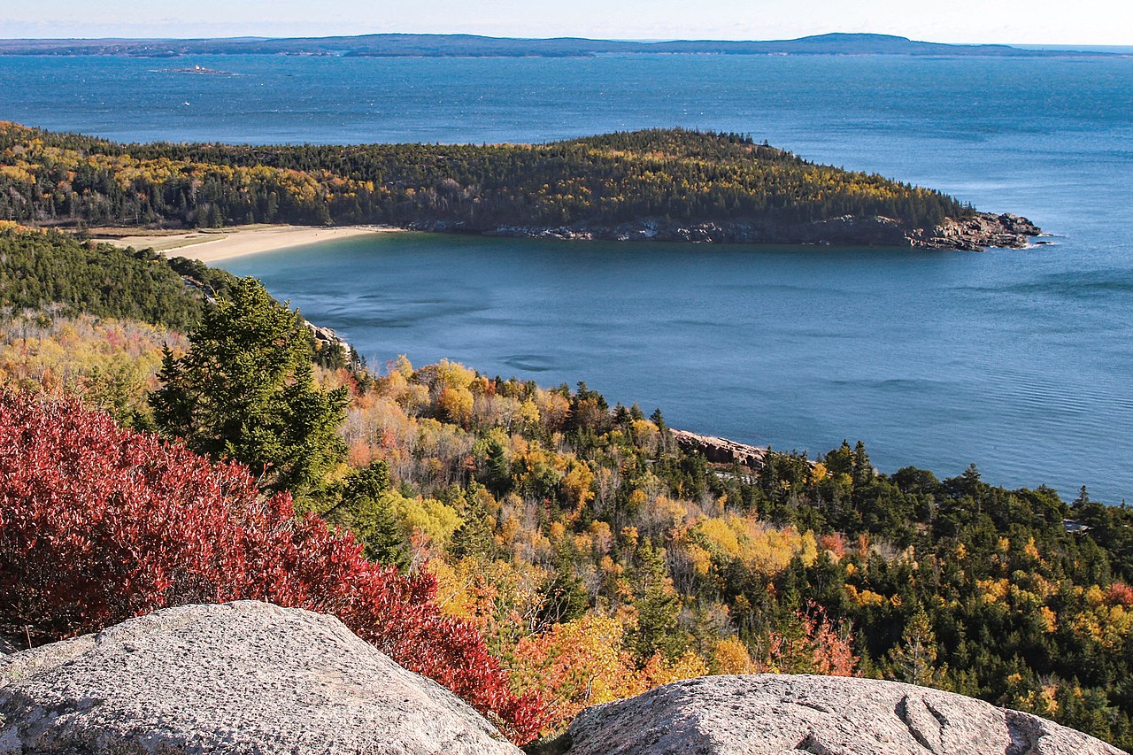
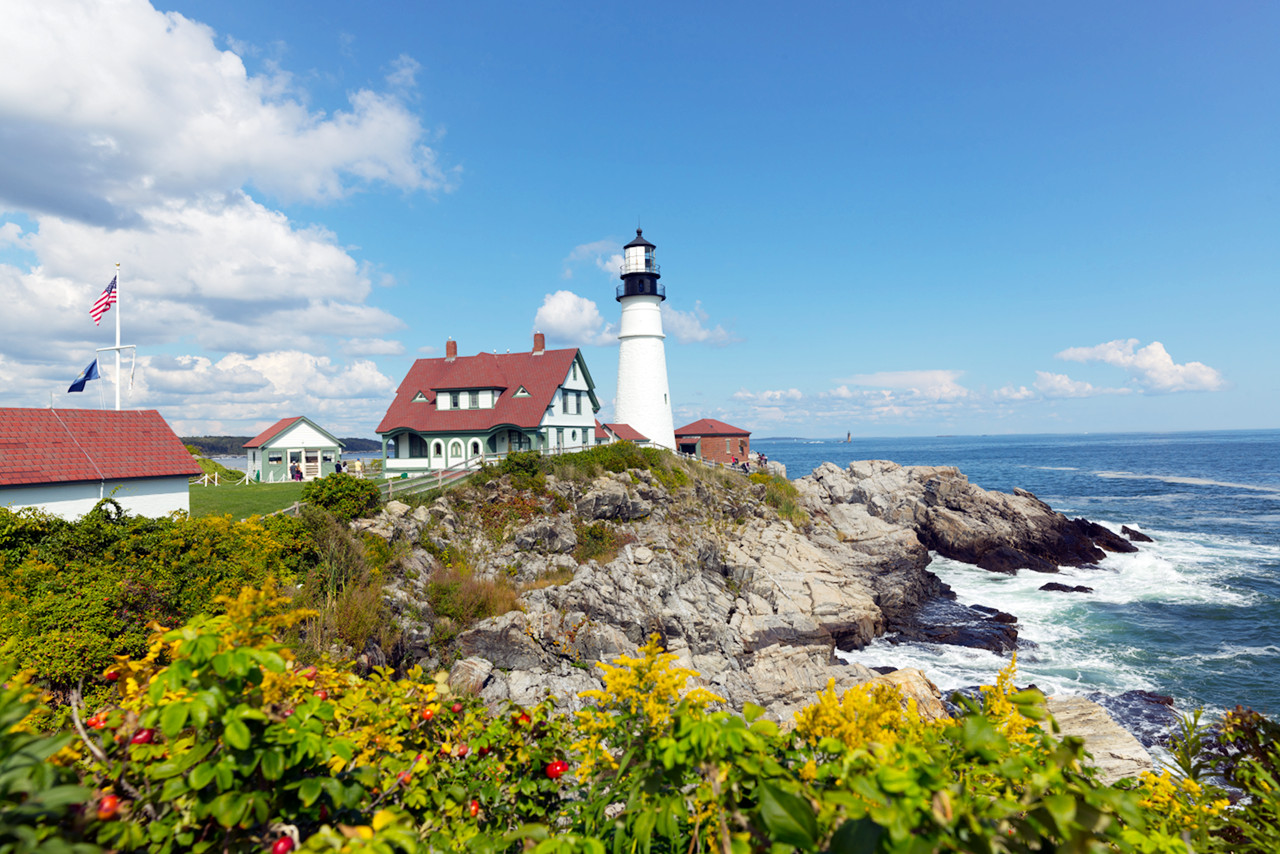
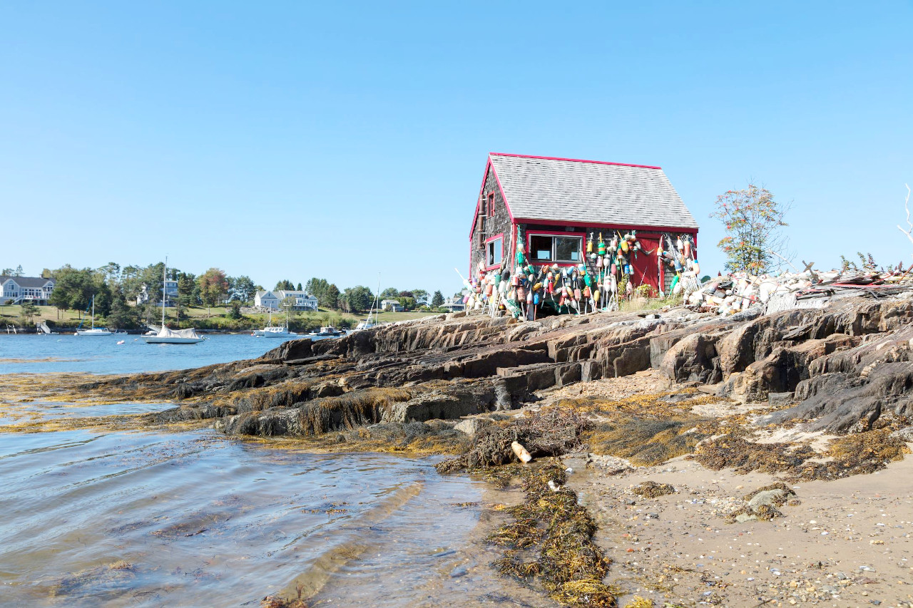
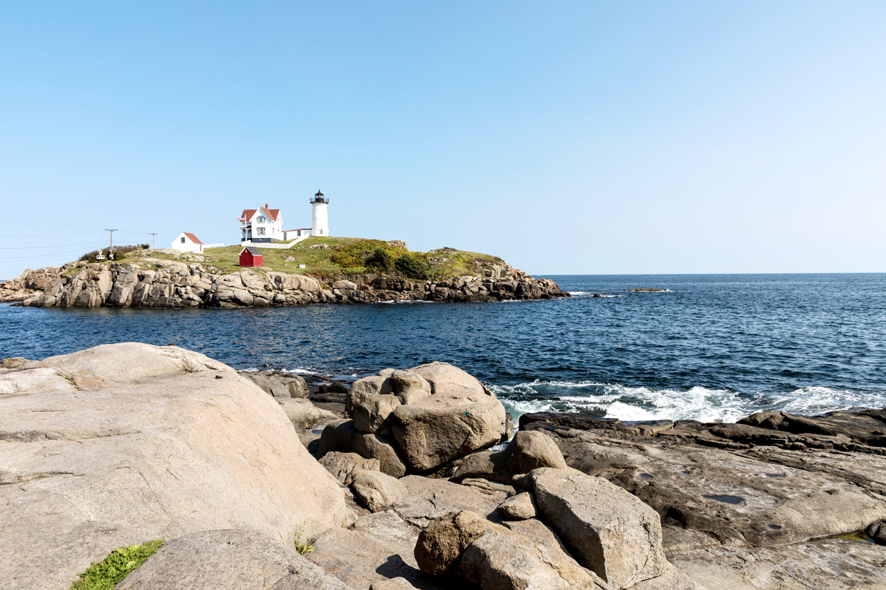
The Coast, with its headlands, deep bays and the numerous islands in the bays and beyond produce a beautiful mingling of land and sea and give to the whole coast the appearance of a fringed and tasselled border. In the southwest, Maine has a marshy shore and many low grassy islands; the beaches often form barriers behind which creeks bordered with large salt marshes are sheltered.
The remainder of the Maine coast is bold, rising to the steep cliffs and rounded summits of Mount Desert Island and Quoddy Head. All along the coastline there are wide and well-protected harbours. It has beautiful bays such as Penobscot and Pasamaquoddy; a number of fine harbours, Portland harbour on Casco Bay being one of the best on the Atlantic. Further east the coastline becomes especially jagged, with numerous long narrow bays and hosts of islands with bold shores, often with high sea cliffs on the southern and eastern sides.
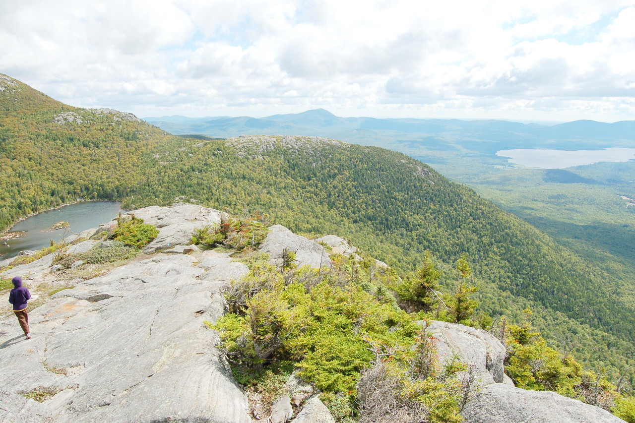
Mountains
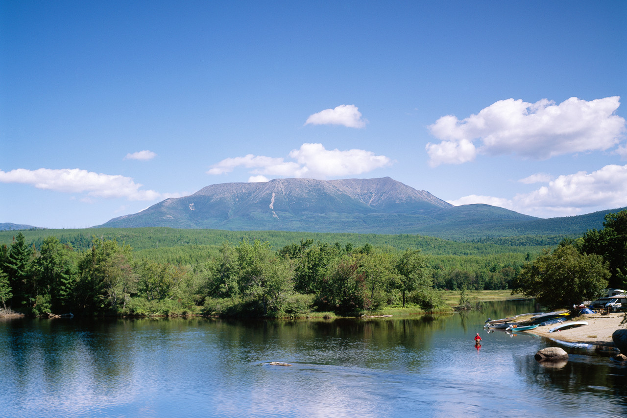
Maine's mountain region is the northeastern end of the Appalachian Mountains. This region, stretching across Maine, averages about 50 miles (80 km) wide, contains nine peaks over 4,000 ft (1,200 m). These all have a peculiar aspect, rising in conical peaks, heavily wooded at the base and bare at the summit.
The highest point in the state is Mount Katahdin, which at 5,267 ft (1,606 m). The summit of Katahdin marks the northern end of the 2,000-mile (3,200-km) Appalachian Trail. When viewed from a distance seems to stand alone in a vast wilderness, but when approached it is found to be flanked by an assemblage of lesser foothills.
North Maine Woods
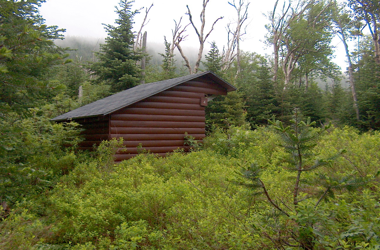
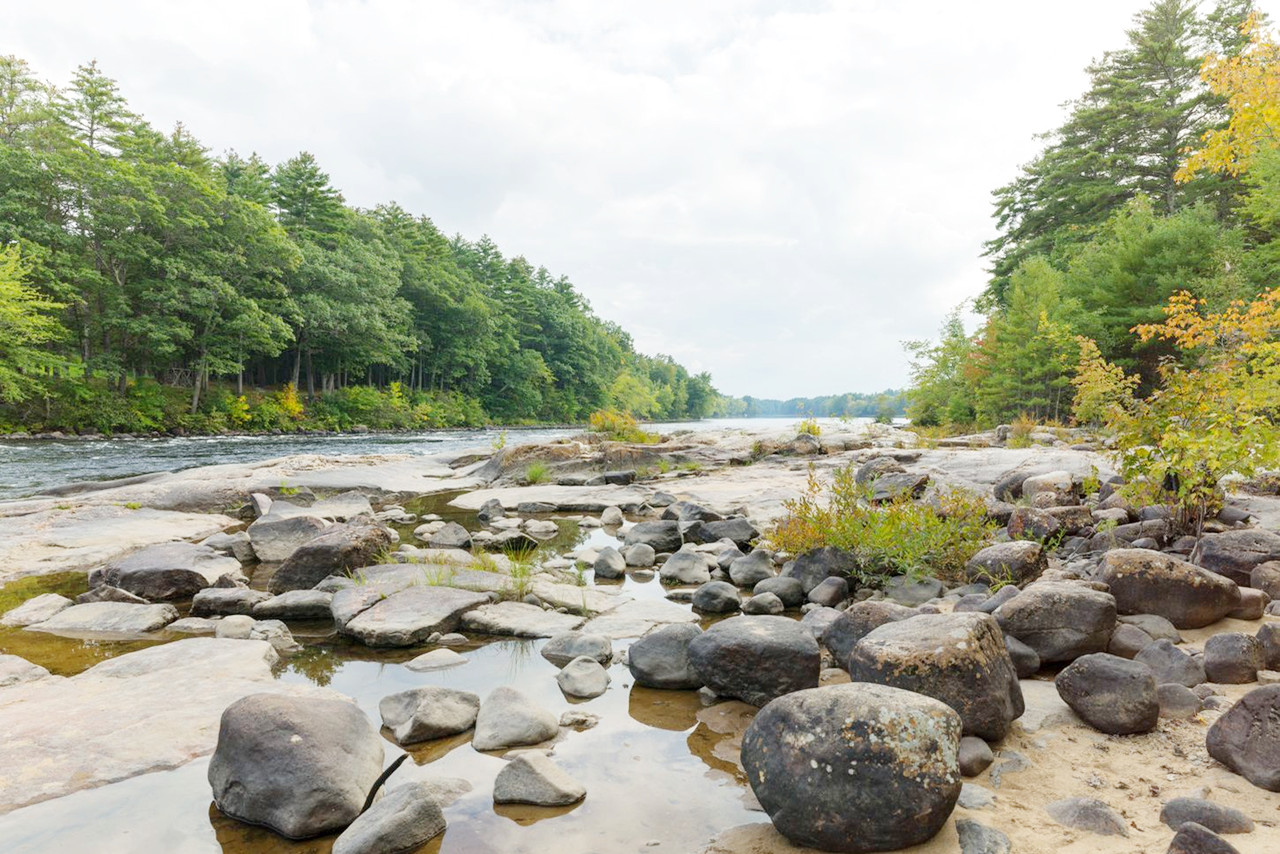
Maine's uplands—the North Maine Woods—form a high, relatively flat plateau extending northward beyond the mountains and sloping downward toward the north and east. The western part is heavily forested. The lakes and ponds of Maine are very numerous, scattered closely and almost in a hopeless confusion. Of Maine's more than 2,200 lakes and ponds, the largest is Moosehead Lake—a popular resort.
What is the nature of Maine like?
_(5-28-2015)_quoddy_head,_washington_co,_maine_-01_(18988734889).jpg)
.jpg&oldid=491188094)
_(5-28-2015)_quoddy_head,_washington_co,_maine_-01_(18988734889).jpg&oldid=477293440)
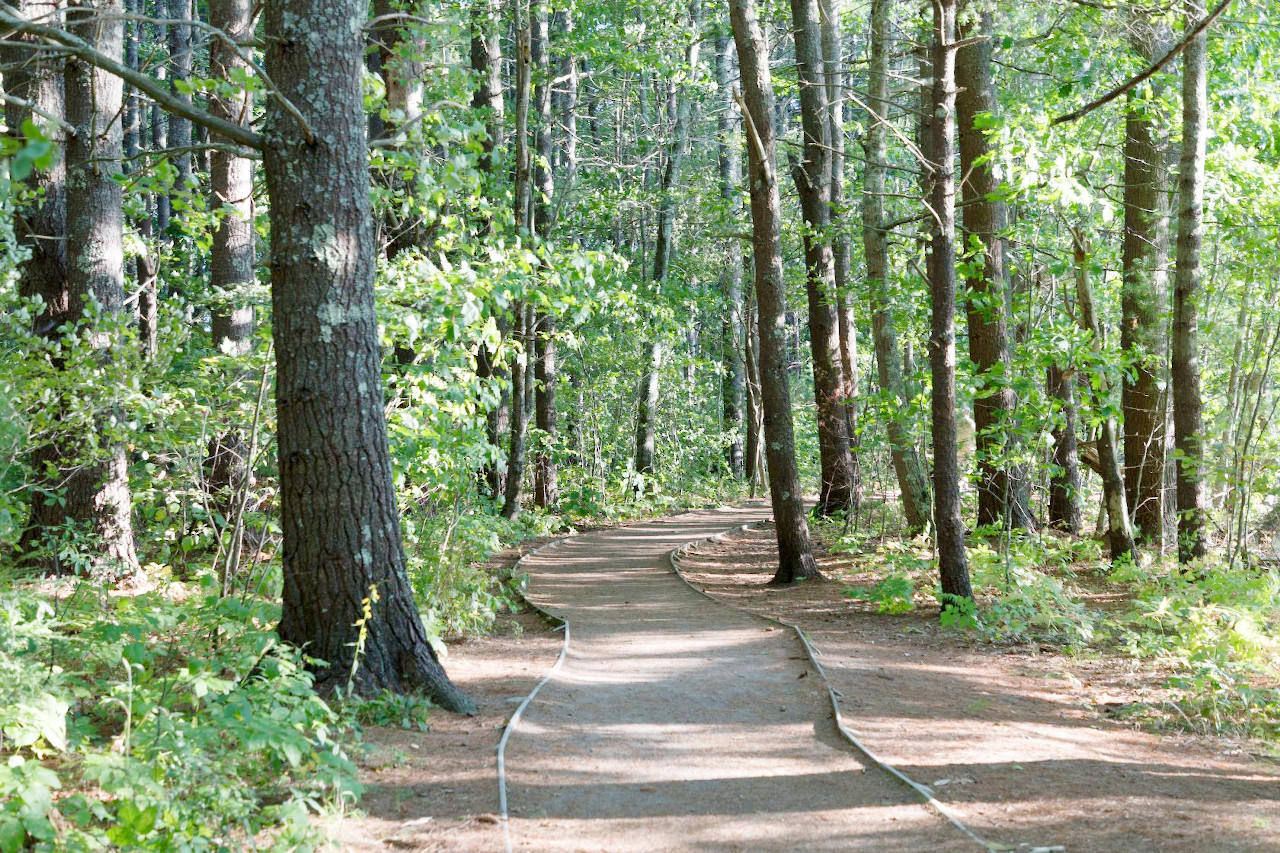
Maine is preeminently a state of evergreen forests, chiefly red and white spruces, balsam fir, eastern hemlock, and white and red pine. Mixed with these are hardwood trees including beech, yellow and white birches, sugar and red maples, white oak, black willow, and black and white ashes. The State has a great assemblage of lakes, shallow lagoons, swamps, and streamlets, some swift, others sluggish, reaching into every valley and to every hillside.
What is the climate of Maine like?
Maine's climate is maritime and moderate. The summer heat is tempered by sea-breezes and cool winds from the north. The cold of winter has a constancy which makes it feel less severe. The summers are short, less than five months between frosts but the temperature sometimes rises for a few days to 100°F (38°C). The lakes and forests attract great numbers of tourists, and the sea coast is lined with the cottages of summer-residents from all parts of the country.
| Climate data for Augusta, Maine (1991–2020) | |||||||||||||
|---|---|---|---|---|---|---|---|---|---|---|---|---|---|
| Month | Jan | Feb | Mar | Apr | May | Jun | Jul | Aug | Sep | Oct | Nov | Dec | Year |
| Average high °F (°C) | 28.8 (−1.8) | 31.9 (−0.1) | 40.6 (4.8) | 53.5 (11.9) | 65.8 (18.8) | 74.4 (23.6) | 79.9 (26.6) | 78.9 (26.1) | 70.9 (21.6) | 57.9 (14.4) | 45.7 (7.6) | 34.7 (1.5) | 55.2 (12.9) |
| Daily mean °F (°C) | 20.4 (−6.4) | 23.2 (−4.9) | 32.0 (0.0) | 43.8 (6.6) | 55.3 (12.9) | 64.2 (17.9) | 70.1 (21.2) | 68.9 (20.5) | 61.0 (16.1) | 49.2 (9.6) | 38.0 (3.3) | 27.2 (−2.7) | 46.1 (7.8) |
| Average low °F (°C) | 12.1 (−11.1) | 14.4 (−9.8) | 23.4 (−4.8) | 34.2 (1.2) | 44.7 (7.1) | 54.1 (12.3) | 60.3 (15.7) | 58.8 (14.9) | 51.0 (10.6) | 40.4 (4.7) | 30.3 (−0.9) | 19.8 (−6.8) | 37.0 (2.8) |
| Average precipitation inches (mm) | 2.62 (67) | 2.32 (59) | 3.21 (82) | 3.82 (97) | 3.27 (83) | 4.01 (102) | 3.20 (81) | 3.41 (87) | 3.90 (99) | 4.69 (119) | 3.95 (100) | 3.44 (87) | 41.84 (1,063) |
| Average snowfall inches (cm) | 19.0 (48) | 14.8 (38) | 15.2 (39) | 4.5 (11) | 0.0 (0.0) | 0.0 (0.0) | 0.0 (0.0) | 0.0 (0.0) | 0.0 (0.0) | 0.3 (0.76) | 3.6 (9.1) | 13.9 (35) | 71.3 (181) |
| Source: NOAA | |||||||||||||
.jpg) Beech Cliff Loop, Echo Lake, Acadia National Park
Beech Cliff Loop, Echo Lake, Acadia National Park
.jpg&oldid=411696528)
The official websites
Maine
The Pine Tree State
| Location: | Extreme northeastern corner of the United States |
| Coordinates: | 45° 00′ N, 69° 00′ W |
| Size: | • 520 km N-S; 330 km E-W • 320 miles N-S; 205 miles E-W |
| Terrain: | Coastal lowlands; transitional hilly belt; mountains and uplands in the north |
| Climate: | Warm summers; cold winters with between 60 and 90 inches (150 and 230 cm) of snow every year |
| Highest point: | Mount Katahdin 1,606 m / 5,269 feet |
| Forest: | 89% (2016) (source) |
| Population: | 1,344,212 (2019) |
| Population density: | Low (17/km²) |
| Capital: | Augusta |
| Languages: | English (92%); French (5%) |
| Human Development Index: | Very High (0.922) |