_aid_to_navigation_overlooking_the_Pacific_Ocean_from_North_Head_50520v.jpg)
,_03.jpg)
The Geography of
Washington
Why visit Washington?
Washington is an amazing state because of its natural features. From the rivers and the lakes to the many mountain ranges, the landscape is always giving you a vista of something new. The mountains are really beautiful and the view from the summits is just incredible. The lakes are really peaceful and the scenery around them is really nice. Washington boasts three national parks: Olympic (Olympic Mountains), Mount Rainier (Cascade Range), North Cascades, and many other protected areas.
Map
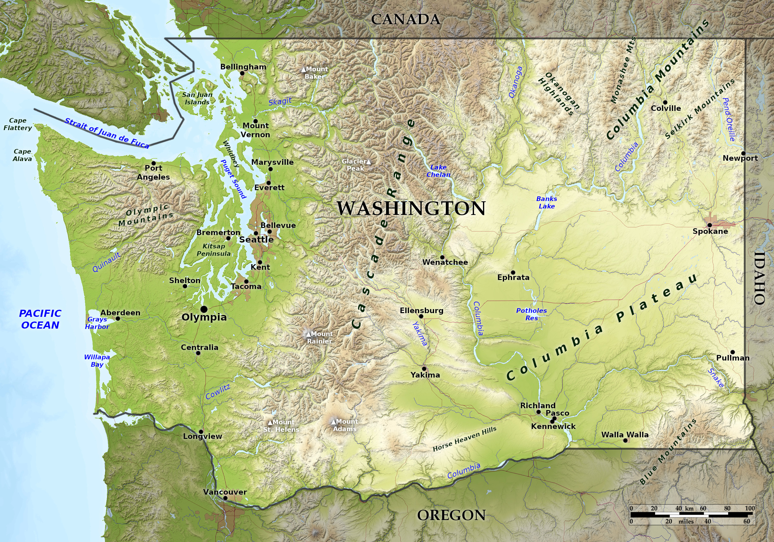 Relief map of Washington
What is the landscape of Washington like?
West
Parts the coast of Washington are rather straight, but in the south the coastline is broken by Gray's Harbour and Willapa Bay—the drowned lower portions of river valleys. In the north is the Strait of Juan de Fuca—a sea channel divided between Canada and the United States, here can be found the complex estuary of Puget Sound where the city of Seattle has its shore. Along the Pacific Coast are the mountain ridges of the Coast Range which are only about 1,500 feet (450 m) in height in the southern part of the State, but they rise northward to the large mountain mass of the Olympic Mountains which reaches a maximum of height on Mount Olympus of 7,980 feet (2,430 m).
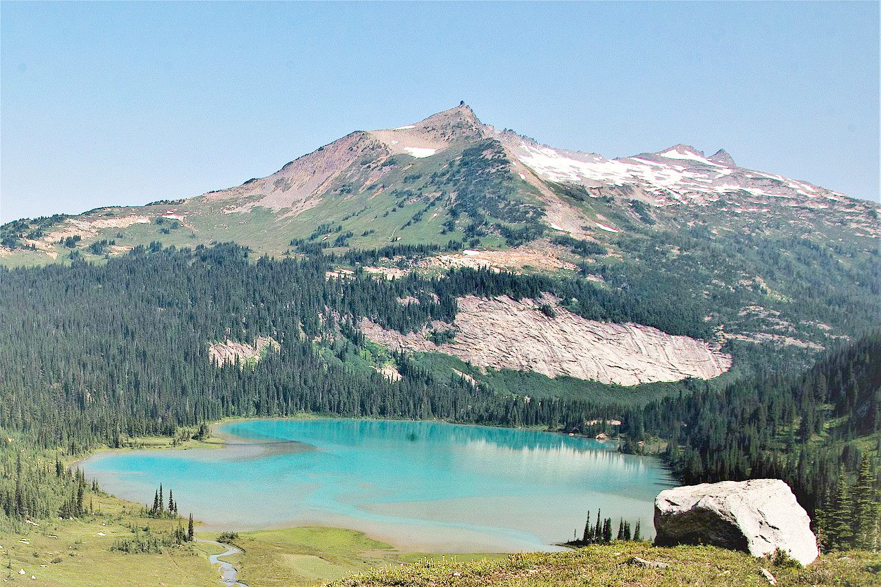
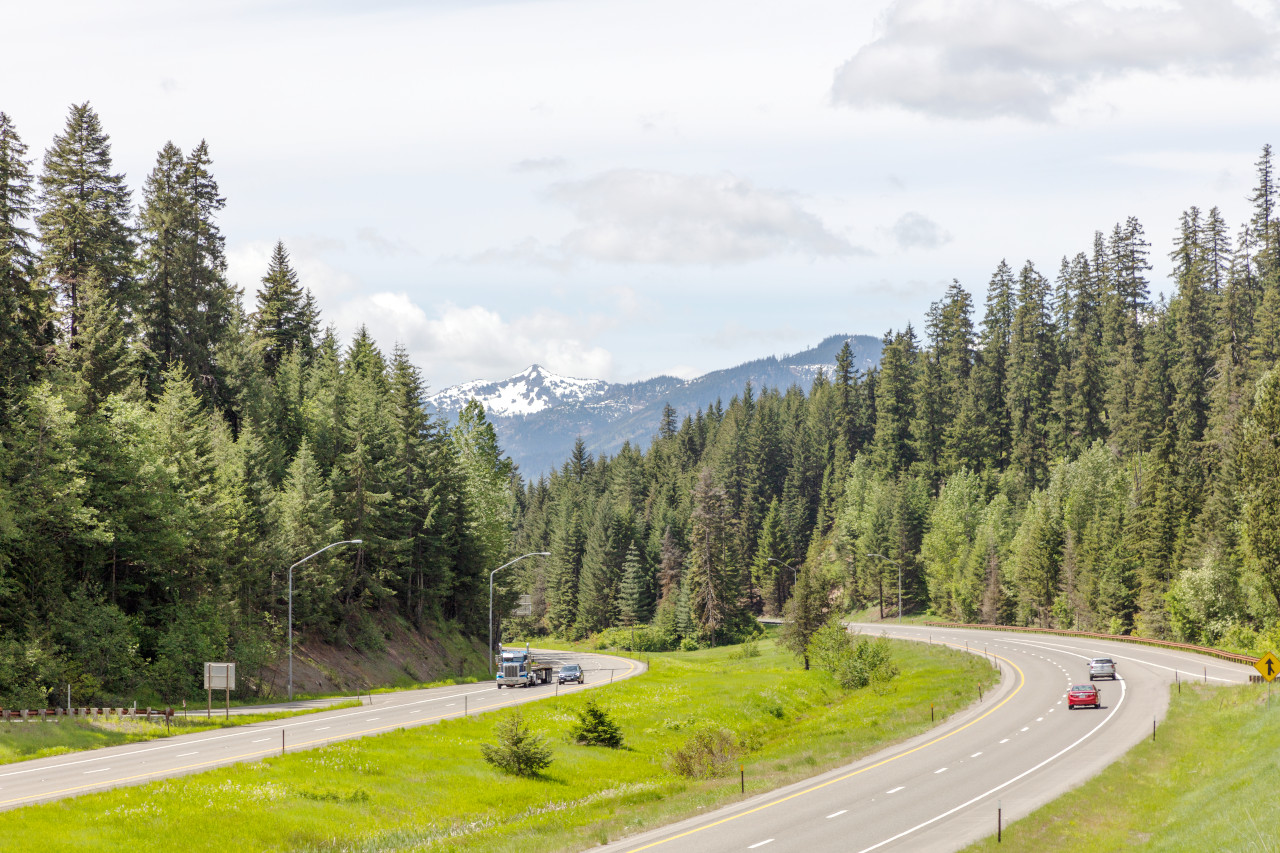
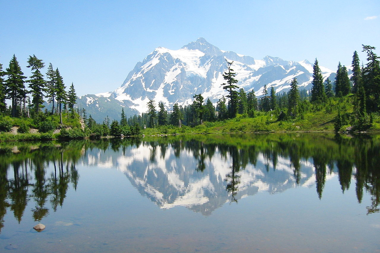
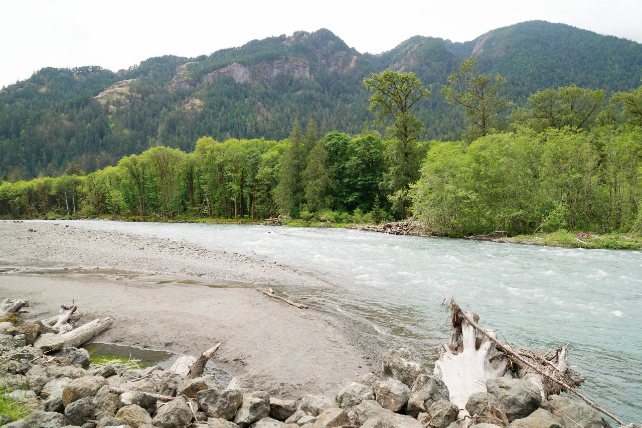
The most prominent feature of Washington are the Cascade Mountains, which cross the State from north to south. On the southern border this mountain range is around 50 miles in width, and to the north it widens to 100 miles or more. The general height of the ridges and peaks is about 8,000 feet (2,400 m) above the sea, but there are five ancient snow-capped volcanoes which equal or exceed 10,000 feet (3,000 m). These are: Mount St Helens, Glacier Peak, Mount Baker, Mount Adams, and the highest: Mount Rainier at 14,417 feet (4,394 m). Glaciers are common both in the north and in the south, and both sides of the Cascades are cut deep by valleys. There are also a number of glacial lakes, the largest of which is Lake Chelan—this is nearly 60 miles in length, and from 1 to 4 miles wide; at the upper end it is about 1,400 feet (425 m) deep.
East
East of the Cascade Mountains we encounter the Columbia Mountains to the north and the Columbia Plateau to the south. The Columbia Mountains, an outlier of the Rocky Mountains extending westward from Idaho, reach heights of 5,000 to 6,000 feet (1,500–1,800 m) above the sea, but have long gentle slopes, rounded divides and wide river basins. In some of the larger valleys there are glacial terraces.
,_03.jpg&oldid=463825508)
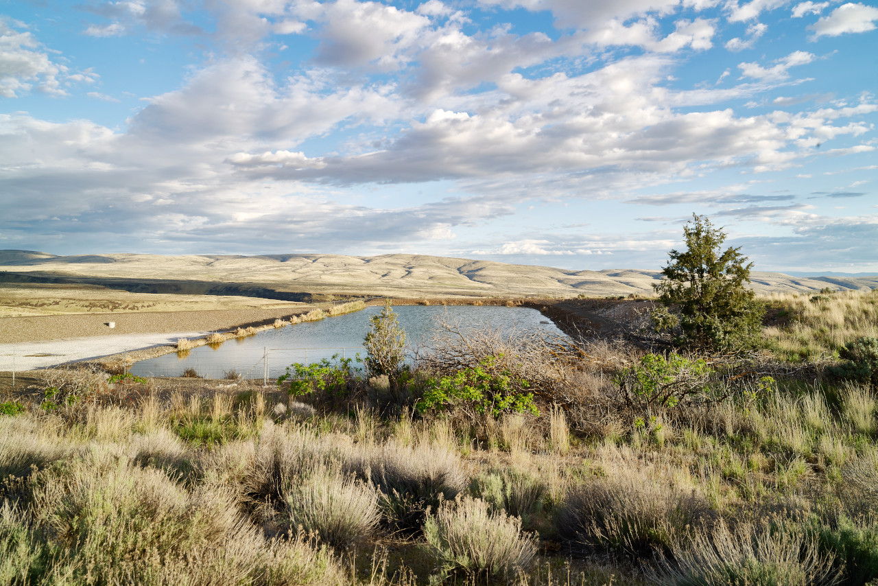
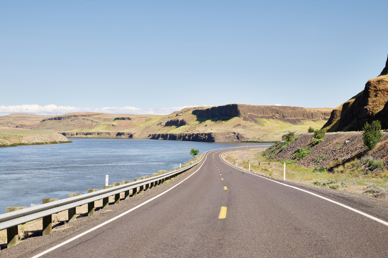
The Columbia plateau consists of horizontal beds of lava, and has a general height of 1,000 to 2,000 feet (300–600 m) above sea-level. The Columbia River which enters the northeast corner of the State traverses a winding course from north to south before forming much of the southern border. West of the Columbia river the plain is broken by ridges rising 2,000 to 3,000 feet (600–900 m) above it and extending eastward 50 to 75 miles from the foothills of the Cascades. In some parts, especially within the Big Bend of the Columbia, the plain is frequently cut by coulées, or abandoned river channels, some of them 500 to 600 feet (150–180 m) deep and with very steep walls. There are also deep canyons which have been cut by the rivers in their present courses, especially by the Snake river and its tributaries. The southeast corner of the state is occupied by the Blue Mountains, which rise about 7,000 feet (2,100 m) above the sea and are cut deep by canyons.
What is the nature of Washington like?
The western third of Washington is noted for its forests, consisting mainly of giant Douglas fir or Oregon pine, but containing also some cedar, spruce and hemlock. Deciduous trees include maple, alder, oak, cottonwood, willow, ash, aspen, and birch. Near the Pacific Coast the forests consist of hemlock, cedar and Sitka spruce. At a height above 3,000 feet (900 m) on the western slope of the Cascades rise a succession of mountain trees: pines, firs, cedars, larches, and junipers.
The eastern slope of the Cascades and most of the Columbia Mountains are clothed with light forests consisting chiefly of yellow pine, but containing also Douglas fir, cedar, larch, tamarack and a very small amount of oak. The Columbia Plateau is for the most part treeless and grows principally bunch-grass or, in its lower and more arid parts, sagebrush. In the forest regions of eastern Washington the underbrush is light, but grasses and a great variety of flowering plants abound.
What is the climate of Washington like?
In western Washington the climate is moderate and humid. Eastern Washington, too, usually has a mild temperature, but in the height of summer, and in the depths of winter, temperatures can swing wildly. Eastern Washington is however rather dry, and in many places quite arid. In the southeastern counties the winters are mild, with the exception of an occasional cold period, and the summers are hot.
The rainfall on the western slopes of the Coast and Cascade Mountains is quite high, and about three-quarters of the rain in western Washington falls during the wet season from November to April. It is drier further east, especially in the south where there is scarcely any rain during the summer months. There is a heavy snowfall in winter on the mountains, and in a large portion of eastern Washington. During summer the winds are very light in western Washington, but during winter they occasionally blow with great force.
| Climate data for Olympia, Washington (1991−2020) | |||||||||||||
|---|---|---|---|---|---|---|---|---|---|---|---|---|---|
| Month | Jan | Feb | Mar | Apr | May | Jun | Jul | Aug | Sep | Oct | Nov | Dec | Year |
| Average high °F (°C) | 46.0 (7.8) | 49.1 (9.5) | 53.7 (12.1) | 58.9 (14.9) | 66.1 (18.9) | 70.8 (21.6) | 77.6 (25.3) | 78.0 (25.6) | 72.1 (22.3) | 60.2 (15.7) | 50.6 (10.3) | 44.9 (7.2) | 60.7 (15.9) |
| Daily mean °F (°C) | 39.6 (4.2) | 40.7 (4.8) | 44.1 (6.7) | 48.2 (9.0) | 54.5 (12.5) | 59.1 (15.1) | 64.2 (17.9) | 64.2 (17.9) | 59.1 (15.1) | 50.3 (10.2) | 43.2 (6.2) | 38.9 (3.8) | 50.5 (10.3) |
| Average low °F (°C) | 33.2 (0.7) | 32.3 (0.2) | 34.5 (1.4) | 37.5 (3.1) | 43.0 (6.1) | 47.4 (8.6) | 50.7 (10.4) | 50.5 (10.3) | 46.2 (7.9) | 40.5 (4.7) | 35.8 (2.1) | 32.8 (0.4) | 40.3 (4.6) |
| Average precipitation inches (mm) | 7.80 (198) | 5.09 (129) | 5.68 (144) | 3.67 (93) | 2.26 (57) | 1.46 (37) | 0.53 (13) | 0.96 (24) | 2.04 (52) | 5.07 (129) | 8.21 (209) | 7.85 (199) | 50.62 (1,286) |
| Average snowfall inches (cm) | 2.0 (5.1) | 0.6 (1.5) | 0.1 (0.25) | 0.0 (0.0) | 0.0 (0.0) | 0.0 (0.0) | 0.0 (0.0) | 0.0 (0.0) | 0.0 (0.0) | 0.0 (0.0) | 0.0 (0.0) | 1.2 (3.0) | 3.9 (9.9) |
| Source: NOAA | |||||||||||||
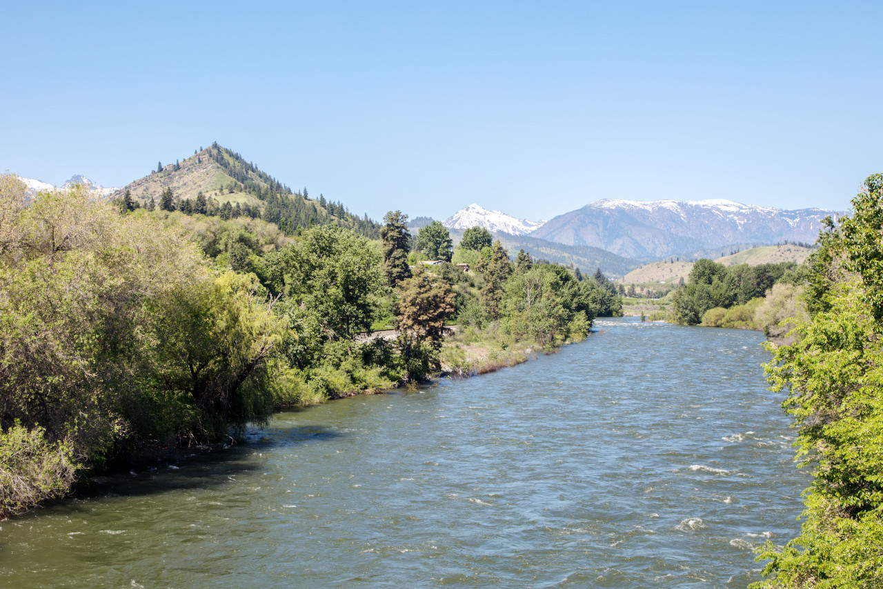 View of the distant Cascade Mountains along the Wenatchee River near Cashmere
The official websites
Washington
The Evergreen State
| Location: | Northwest United States |
| Coordinates: | 47° 15′ N, 120° 30′ W |
| Size: | • 390 km N-S; 580 km E-W • 240 miles N-S; 360 miles E-W |
| Terrain: | Chains of mountains extending northward, with lowland areas in the west and plateau in the southeast |
| Climate: | The west is mild with much rainfall. The east has a continental climate with hot summers, cold winters, and sparse rainfall |
| Highest point: | Mount Rainier 4,394 m / 14,417 ft |
| Forest: | 53% (2016) (source) |
| Population: | 7,705,281 (2020) |
| Population density: | Low (40/km²) |
| Capital: | Olympia |
| Languages: | English (83%); Spanish (8%) |
| Human Development Index: | Very High (0.946) |