The Geography of
Belize
Why visit Belize?
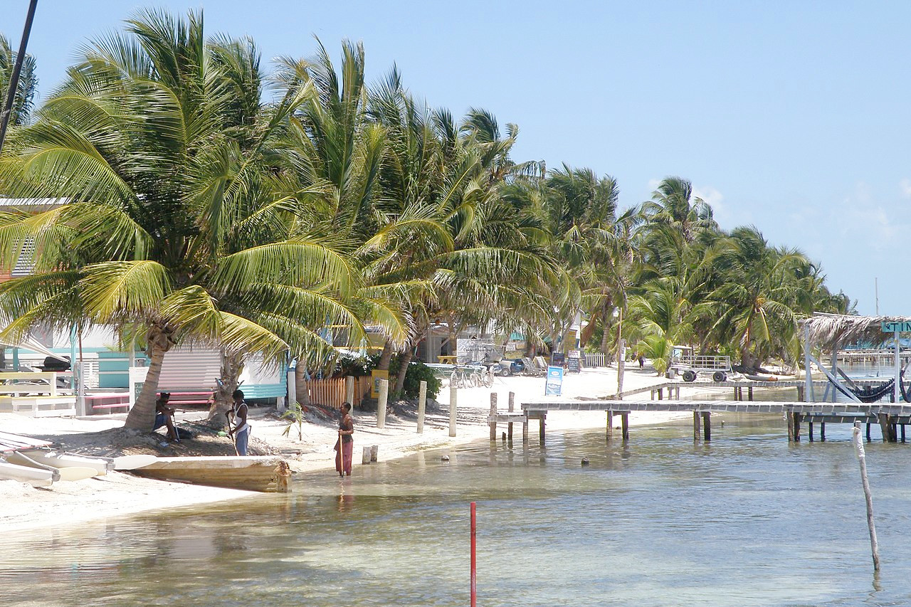
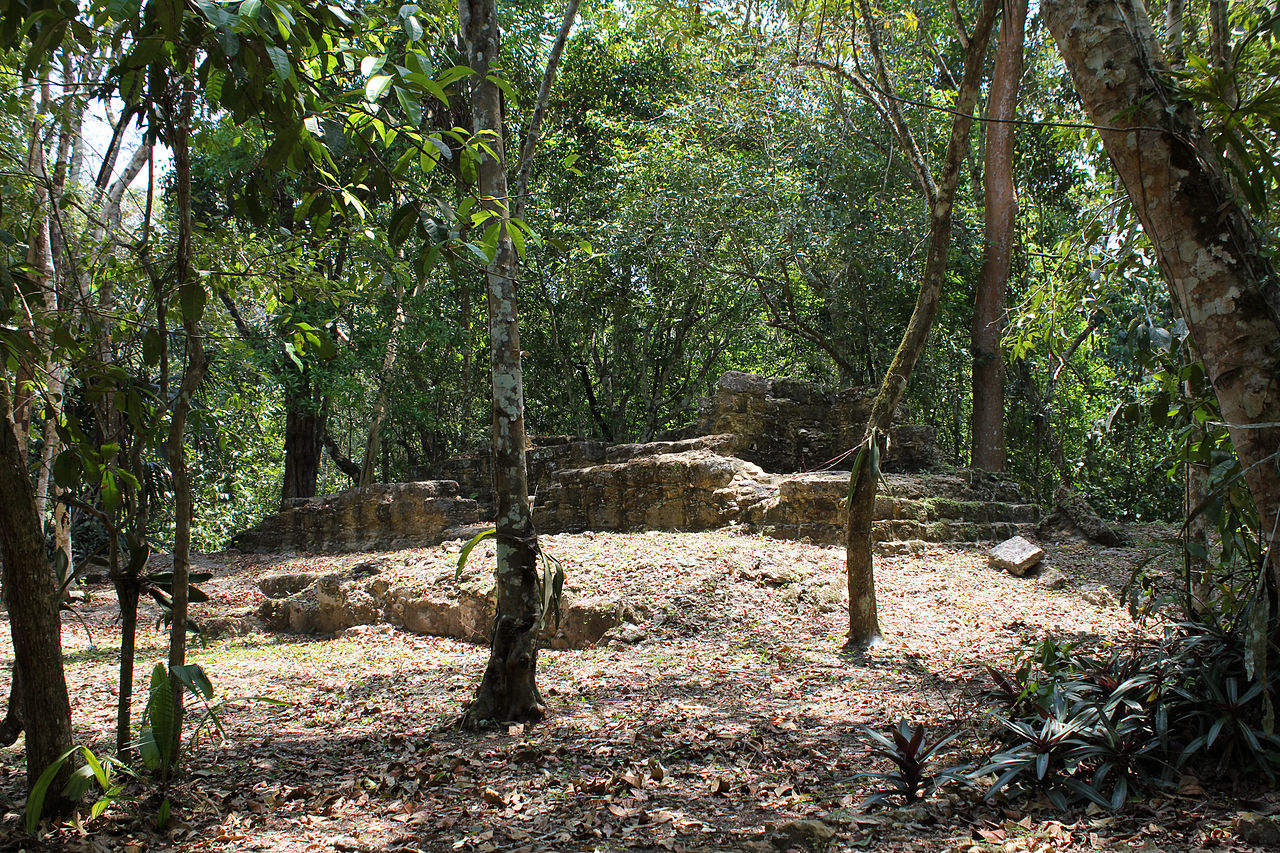
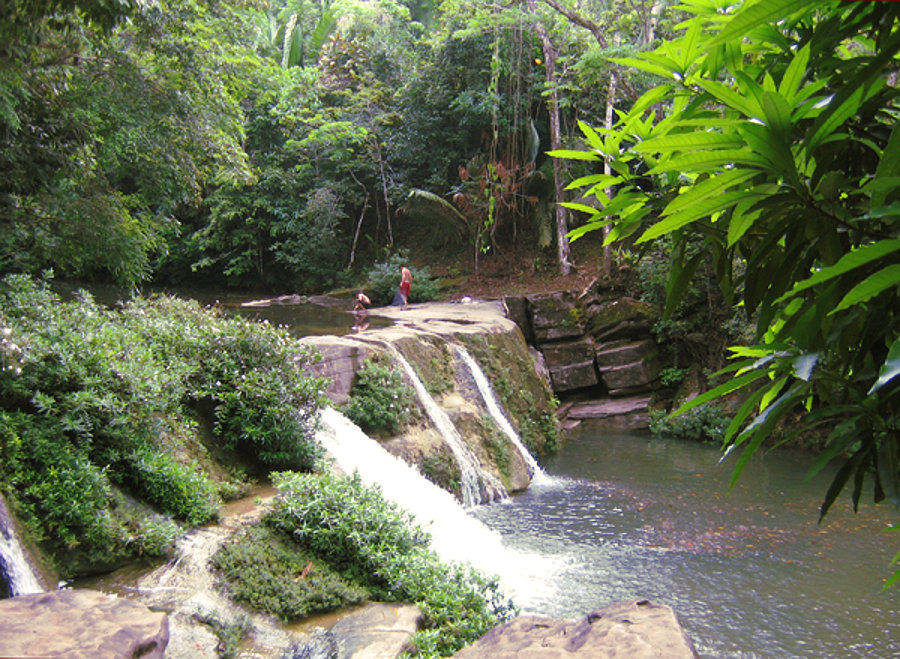
The first thing that impresses you about Belize is how beautiful the country is. Everywhere you look there are palm trees, clear water, and bright blue skies. There is also a lot of wildlife all around, including turtles, parrots, iguanas, not to mention the amazing coral reefs. You can also visit the Mayan ruins and the chance to learn more about Belize's rich history. If you're looking for a beautiful country to visit, Belize is definitely a great choice.
Contents
Map
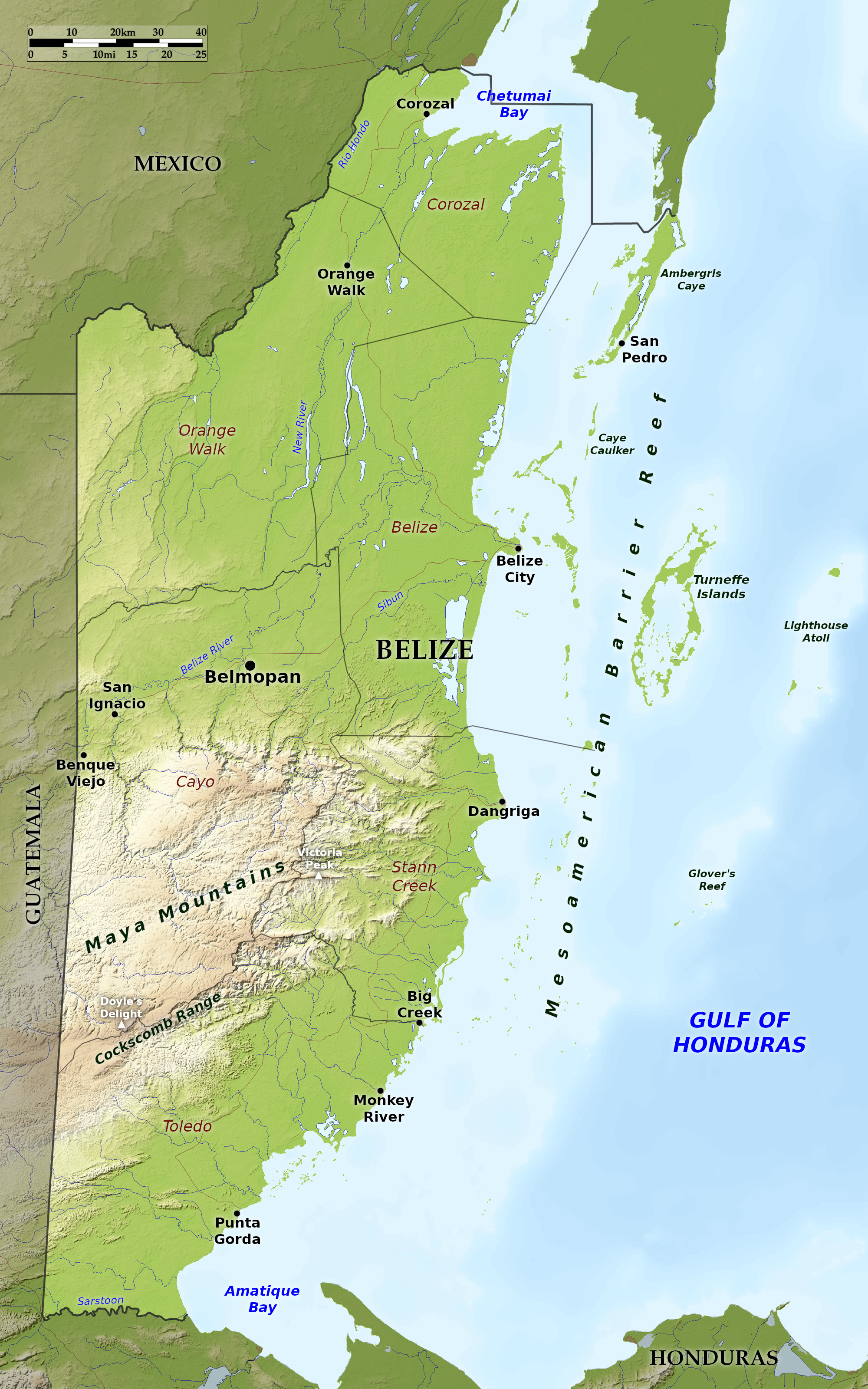 Relief map of Belize
What is the landscape of Belize like?
Belize can be approximately divided into three regions: the coast with its coral reefs and islets known as cays; the flat northern region with its pine forests; and the mountainous south covered in rainforest.
Coast and Cays
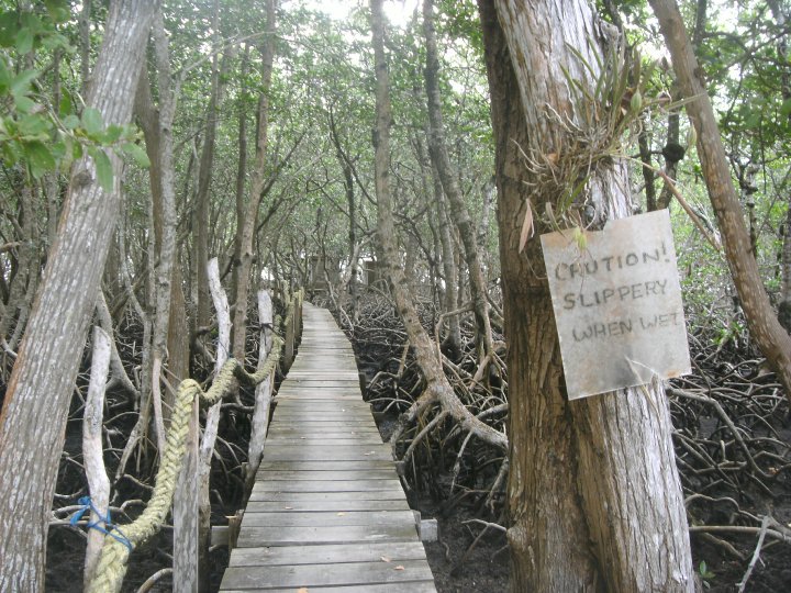
The coastline is flanked by a barrier reef known as the Mesoamerican Barrier Reef, which stretches the full length of Belize's coastline and is the second largest in the world. The coast of Belize is studded by numerous islands, and protected by the long line of coral reef running north and south at a distance of about 10 miles from the mainland, forming a natural breakwater. Many of these islands or cays are covered with mangrove bush, whilst others are under partial cultivation.
The largest of these coral islands is Turneffe Atoll, lying about 20 miles from Belize, composed of numerous mangrove cays and lagoons. To the extreme east there is Lighthouse Reef containing the islands of Northern Cay, Saddle Cay, Hat Cay, and Half Moon Cay. Between Turneffe and the mainland are numerous small cays, some of which are only just visible, making sailing difficult. To the south the whole coastline is fringed by numerous islands, upon which the surf breaks with considerable force, leaving the inner waters, however, comparatively calm.
Northern Belize
The northern half of Belize is flat, with the exception of a few small hills or ridges and some shallow basins with a very gentle incline from the western frontier to the sea. For some miles inland the ground is low and swampy, thickly covered with mangroves and subtropical jungle. The land is generally low-lying with numerous lagoons or shallow lakes and a narrow strip of sand along the coast, which is fringed with coconut palms.
Beyond this, and parallel to the rivers, are vast tracts of sandy, arid land, called "pine ridges," from the pines with which they are covered. Farther inland these give way to the less elevated broken ridges with myriads of palm trees. These in turn give way to broad savannas, studded with clumps of trees through which the streams descending from the mountains wind in every direction.
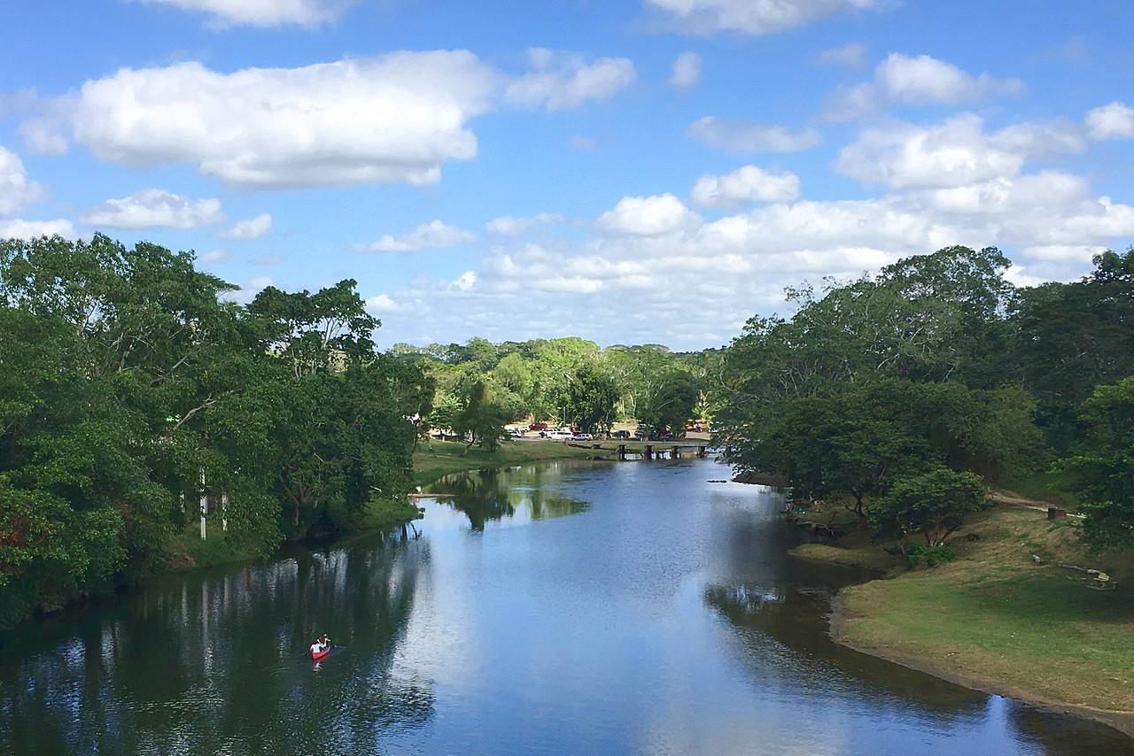
The most important as well as the richest river valley in the country is Belize River. Its course is very tortuous, first running along the northern edge of the Maya Mountains to the sea just north of Belize City. The two other major rivers in the north are the Hondo River which forms much of the northern border with Mexico, and the New River which drains much of the northeast of the country. The latter river feeds the largest fresh water lake in the country, the New River Lagoon.
Southern Belize
The southern half of Belize is very different to the north. There is a broad coastal plain, up to 20 miles broad, which is intersected by numerous short rivers flowing eastward.
Towards the west the region develops into rainforest highlands. These are the Maya Mountains, ranging generally from 500 to 1,000 meters (2,000–3,000 feet) in height, and including the Cockscomb Range which rises to over 1,100 meters (3,600 feet). The mountains are thickly forested, the higher peaks often being veiled in mist, rising higher and higher, in amphitheatrical form, whose conical peaks proclaim their volcanic birth. The highest point is Doyle's Delight in the Southern Maya Mountains with a height of 1,124 meters (3,687 feet). The other major peak is Victoria Peak north of the Cockscomb basin, and only slightly lower at 1,120 meters, (3,675 feet). Numerous rivers take their rise in the Maya mountains, and these, flowing to the east, form deep, slow-flowing rivers down to the sea.
What is the nature of Belize like?
Plants
The coasts of Belize are densely wooded with growths of mangrove trees which cover many of the "cays," or small islands and have also taken possession of the mainland. These form extensive forests wherever there is low coastline.
Inland there are extensive tracts of undulating, or comparatively level country, known locally as "pine-ridges," so called from the Honduras pine trees. These pines are dotted over the country in small clumps or singly, giving it an open, park-like appearance. They are often associated with small clumps of palmetto palms. In some places the ordinary pine-ridge plants give way to groves of oak trees.
Other areas, especially river valleys and other low-lying lands, are dominated by the cohune-palm, one of the finest members of the palm family. The cohune-palm, especially before it has formed a trunk, has a magnificent spread with its large pinnate leaves, sometimes covering an area fully 30 meters (100 feet) in diameter. Its leaves sometimes reach the enormous length of 15 meters (50 feet), and are nearly 3 meters (10 feet) wide, and one of them is nearly as much as a person can lift. These palms are usually found growing alongside a mixture of other trees, such as mahogany, cedar, rosewood, sapodilla, and the smaller palms, or shade-loving trees. Nothing so impresses the traveller as the abundance and profusion of palms which are seen everywhere in Belize..
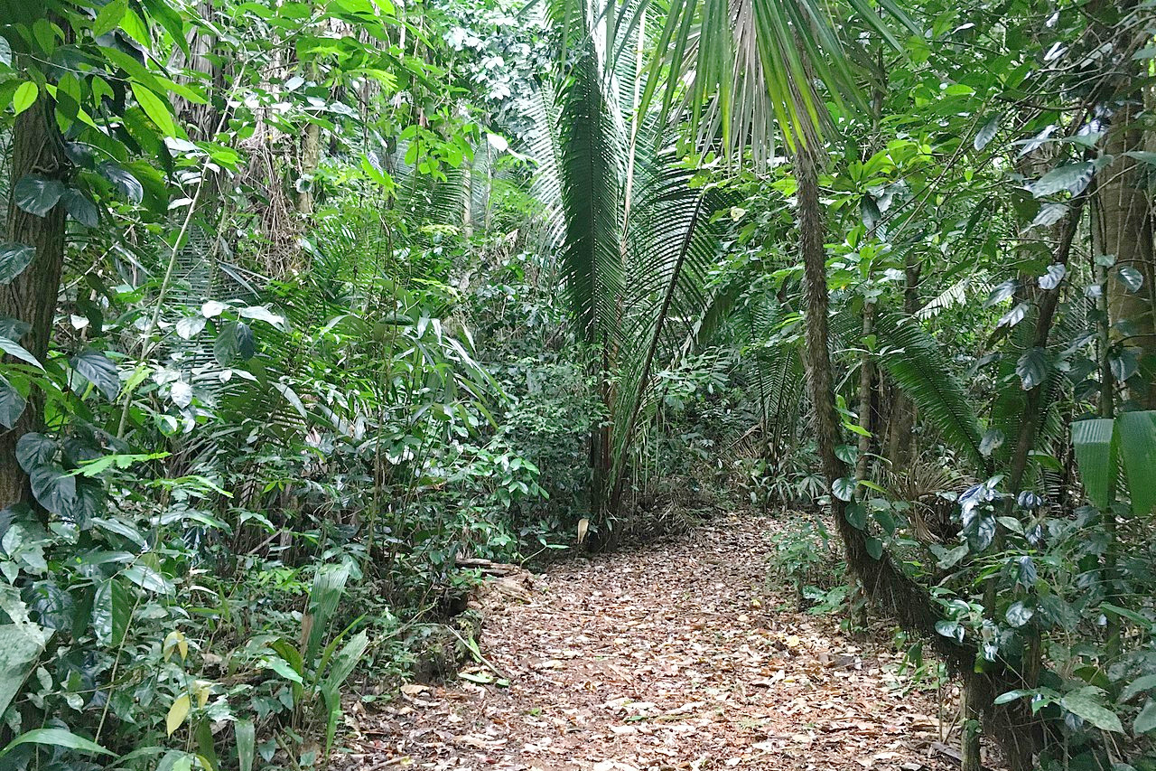
Deep inland one reaches the thick masses of dark undergrowth and lianas of the rainforest. The rainforest is typical of that found all through Central America, mahogany and the various species of chicle trees form the bulk of it. The mass of trees is tied together by a thick, tangled network of palm underbrush and lianas that almost defies penetration.
It is impossible to fully describe the rich profusion and abundance of plant life in the forests of Belize. Each tree, with its huge branches covered with orchids and bromeliads, and its trunk festooned with tresses of ferns and club-mosses, is a botanic garden in itself. The orchids, with their bright and beautiful flowers, are of great interest. These cover the trunks of trees in dense masses, both along the coast, where they are exposed to the salt spray, as well as places inland.
Animals
Belize is unique for its biodiversity and its wide variety of ecosystems. Belize hosts more than 150 species of mammals, 540 species of birds, 150 species of amphibians and reptiles, and nearly 600 species of freshwater and marine fishes.
The long line of coral reef runs north to south along the full length of Belize's coastline. These reefs run almost parallel to the coast, at distances varying from 10 to 15 miles. The diversity of corals and related reef dwellers as well as the its sheer size, has qualified the Mesoamerican Barrier Reef System to be declared a World Heritage Site.
The tropical rain-forest abounds with the characteristic tropical mammals of Central America. Belize is home to five species of cat: puma, jaguar, margay, jaguarundi, and ocelot. Other animals found in the country are the deer, peccary, anteater, coati, armadillo, squirrel, and cottontail rabbit. The endangered Baird's tapir spends a good deal of time in the water, with only its head sticking out. It has a very tough skin, and makes it way through thorny bamboo thickets without regarding them, and goes down the steepest banks of the rivers. Primates include the howler and spider monkey. The howler monkeys can be hard to spot, but they make most dismal sounds in the forest: their tones and howls being heard at great distances. Along the coast the river Manatee (Trichecus manatus) is often seen.
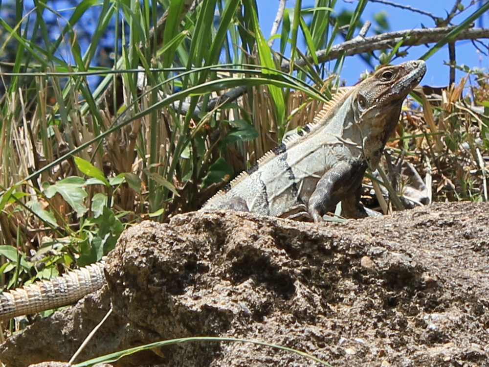
Turtles are found along the coast, the green-turtle, hawksbill and loggerhead are the three sea-going species. Several freshwater turtles are found in the rivers. Two species of crocodilies that roam the waters are the American Crocodile and Morelet's Crocodile, but neither species is particularly aggressive. There are iguanas, which live entirely on leaves; they are large lizards about one meter (4 feet) long. There are up to eight species of gecko which are often found in homes of people in Belize, clinging to the walls.
What is the climate of Belize like?
See our main article: The Climate of Belize
Belize has a tropical climate—typically hot and humid. The maximum temperature is usually about 30°C (90°F). and the minimum about 15°C (60°F). Easterly sea-winds prevail during the greater part of the year.
The dry season lasts from February to May; rain occurs at intervals during the other months, being most concentrated in the months from June to November. Rainfall varies dramatically between the north of Belize and the south. Figures range from 1,200 mm (48 inches) in the north to over 4,000 mm (160 inches) per year in the rainforests of the south.
| Climate data for Belmopan (1991–2020) | |||||||||||||
|---|---|---|---|---|---|---|---|---|---|---|---|---|---|
| Month | Jan | Feb | Mar | Apr | May | Jun | Jul | Aug | Sep | Oct | Nov | Dec | Year |
| Average high °C (°F) | 28.2 (82.8) | 29.7 (85.5) | 31.2 (88.2) | 33.5 (92.3) | 34.1 (93.4) | 32.7 (90.9) | 32.2 (90.0) | 32.6 (90.7) | 32.5 (90.5) | 31.2 (88.2) | 29.4 (84.9) | 28.6 (83.5) | 31.3 (88.3) |
| Daily mean °C (°F) | 23.7 (74.7) | 24.4 (75.9) | 25.5 (77.9) | 27.6 (81.7) | 28.6 (83.5) | 28.3 (82.9) | 27.7 (81.9) | 27.9 (82.2) | 27.9 (82.2) | 26.8 (80.2) | 25.1 (77.2) | 24.2 (75.6) | 26.5 (79.7) |
| Average low °C (°F) | 19.1 (66.4) | 19.2 (66.6) | 19.8 (67.6) | 21.7 (71.1) | 23.1 (73.6) | 23.8 (74.8) | 23.3 (73.9) | 23.2 (73.8) | 23.2 (73.8) | 22.5 (72.5) | 20.7 (69.3) | 19.8 (67.6) | 21.6 (70.9) |
| Average rainfall mm (inches) | 135.2 (5.32) | 51.3 (2.02) | 48.5 (1.91) | 41.4 (1.63) | 119.3 (4.70) | 259.9 (10.23) | 245.3 (9.66) | 226.1 (8.90) | 221.8 (8.73) | 244.2 (9.61) | 201.9 (7.95) | 134.9 (5.31) | 1,929.8 (75.97) |
| Source: National Meteorological Service of Belize (1981–2010) | |||||||||||||
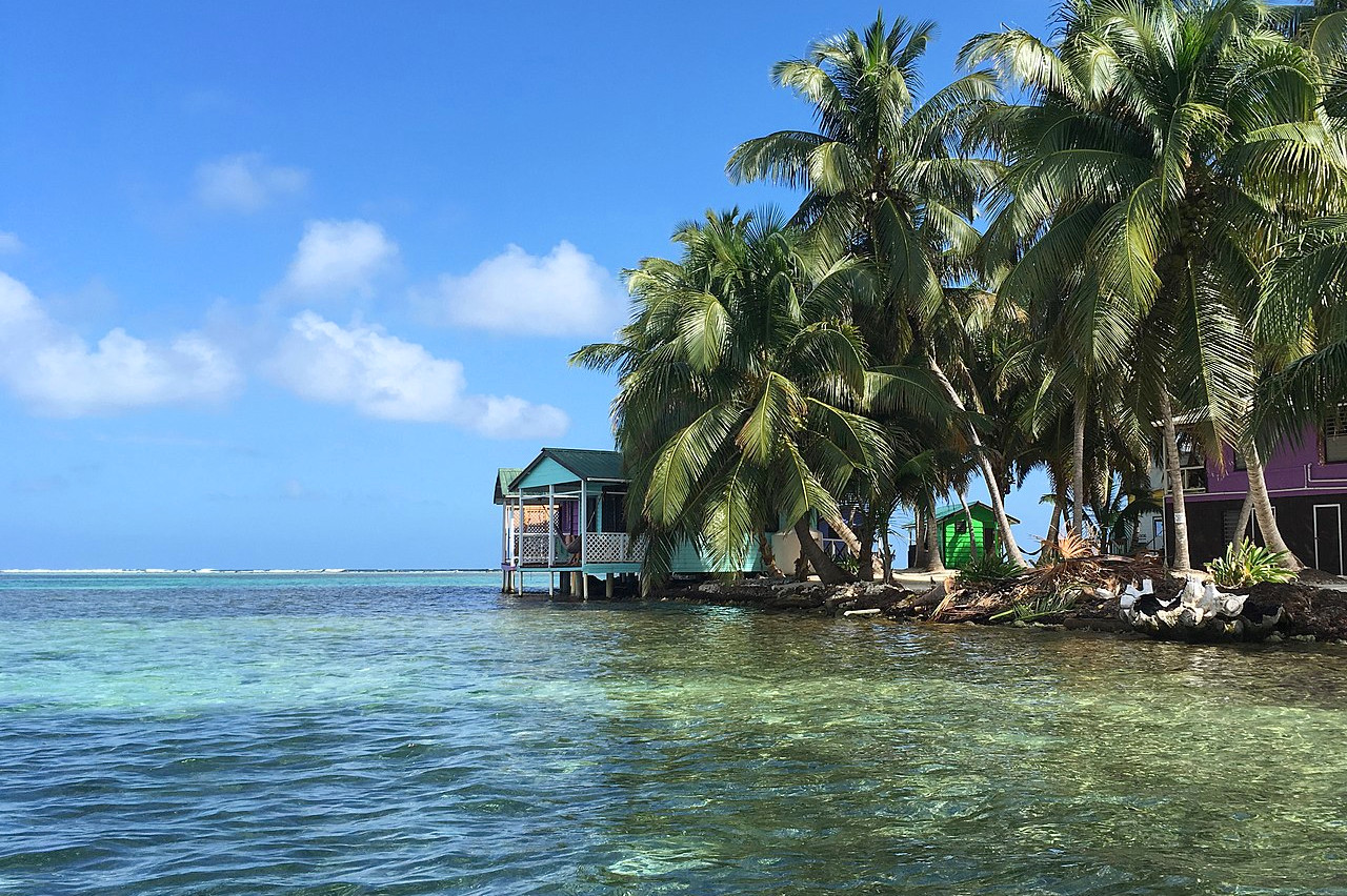
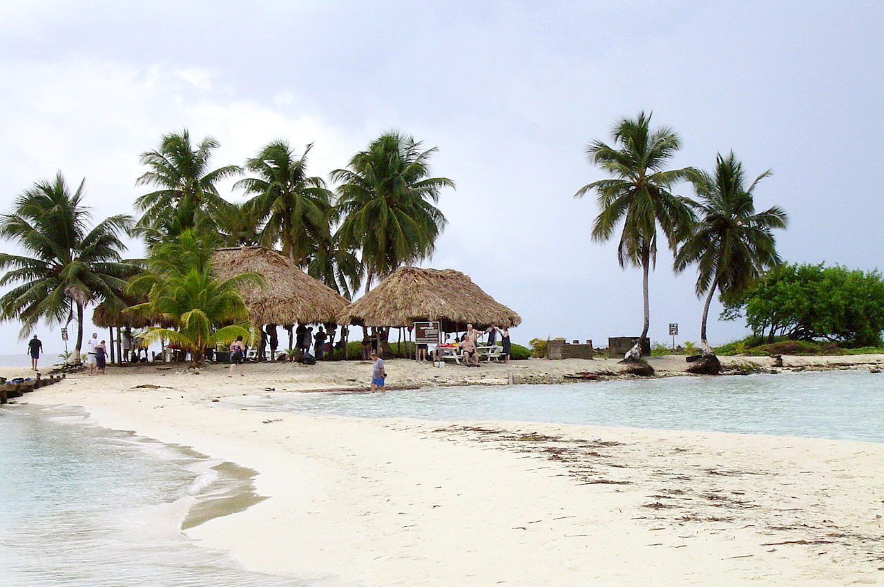
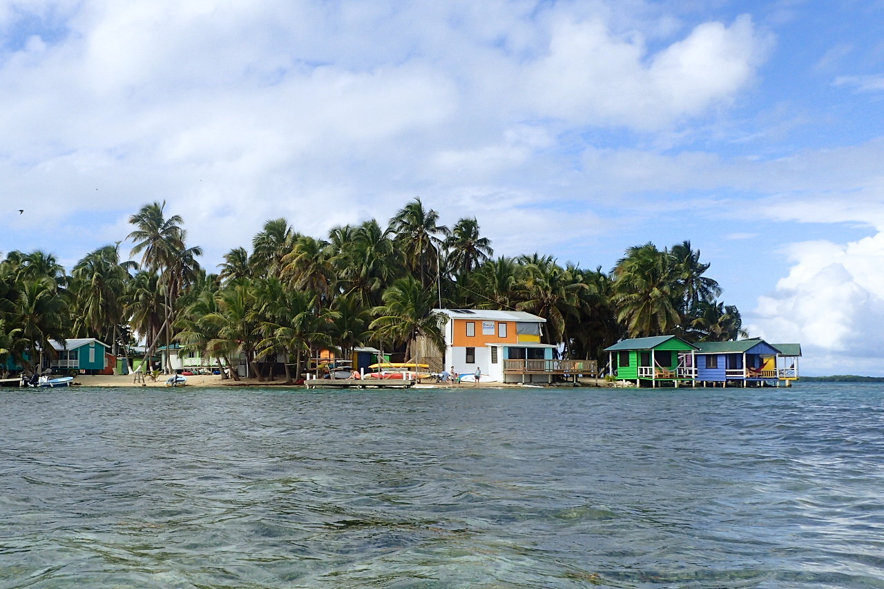 Tobacco Caye, east side
The official websites
Belize
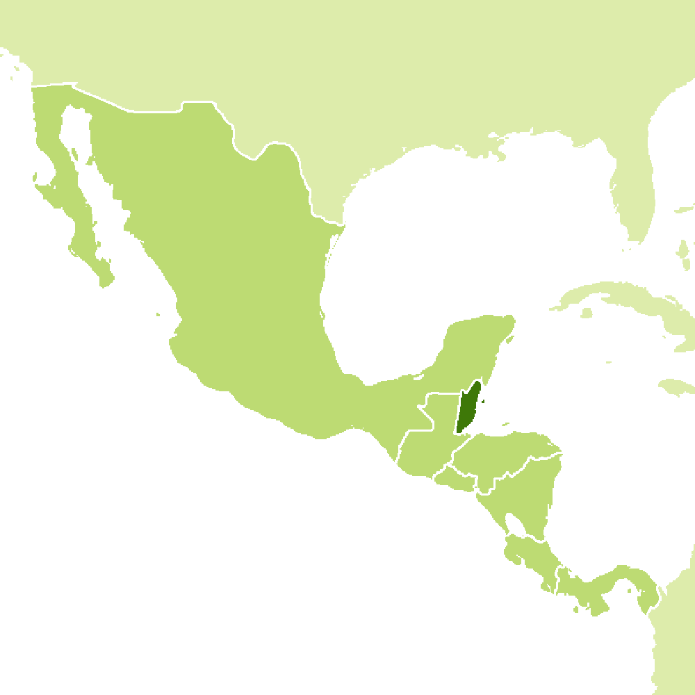
The Jewel of the Caribbean
| Location: | Central America, bordering the Caribbean Sea, between Guatemala and Mexico |
| Coordinates: | 17° 15′ N, 88° 45′ W |
| Size: | • 300 km N-S; 180 km E-W • 190 miles N-S; 110 miles E-W |
| Terrain: | Flat, well-watered coastal plain; low mountains in south |
| Climate: | Tropical; very hot and humid; rainy season (May to November); dry season (February to May) |
| Highest point: | Doyle's Delight 1,124 m / 3,688 ft |
| Forest: | 60.6% (2011 est.) |
| Population: | 399,598 (2020 est.) |
| Population density: | Low (18/km²) |
| Capital: | Belmopan |
| Languages: | English 62.9% (official); Spanish 56.6%; Creole 44.6%; Maya 10.5%; German 3.2%; Garifuna 2.9%; other 1.8%; (2010 est.) |
| Human Development Index: | High (0.716) |
