.jpg)
.jpg&oldid=573900671)
.jpg)
.jpg&oldid=479654980)
The Geography of
Nunavut
Why visit Nunavut?
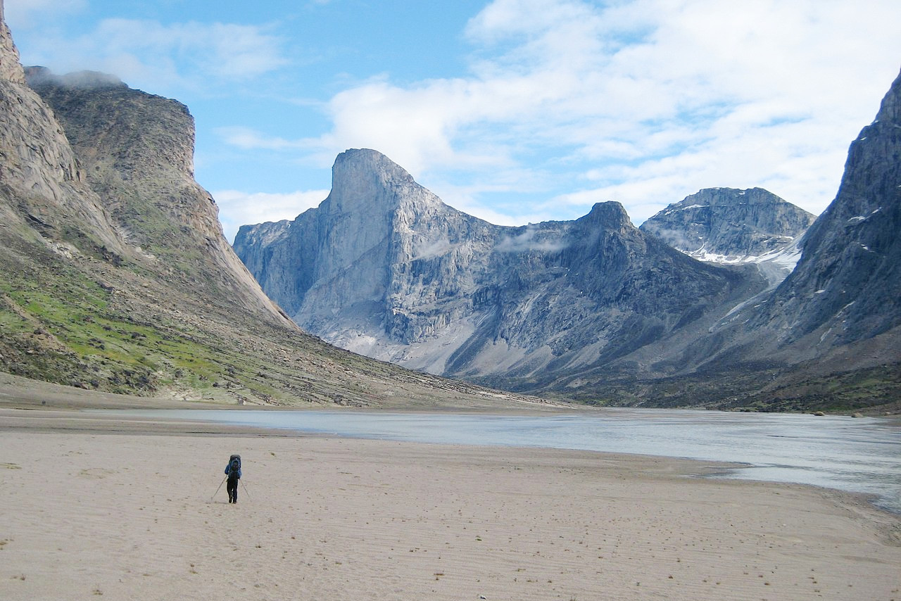
Nunavut is a land of many contrasts, one of which is its landscape. This Inuit homeland consists almost entirely of the Arctic tundra, and this makes for an extraordinarily varied geography. From snow-capped peaks and wide valleys to rolling hills and pristine shores, there’s plenty to see in Nunavut. While some areas are relatively easy to get around—like Iqaluit or Rankin Inlet—other parts can be quite challenging due to their remoteness.
Contents
Map
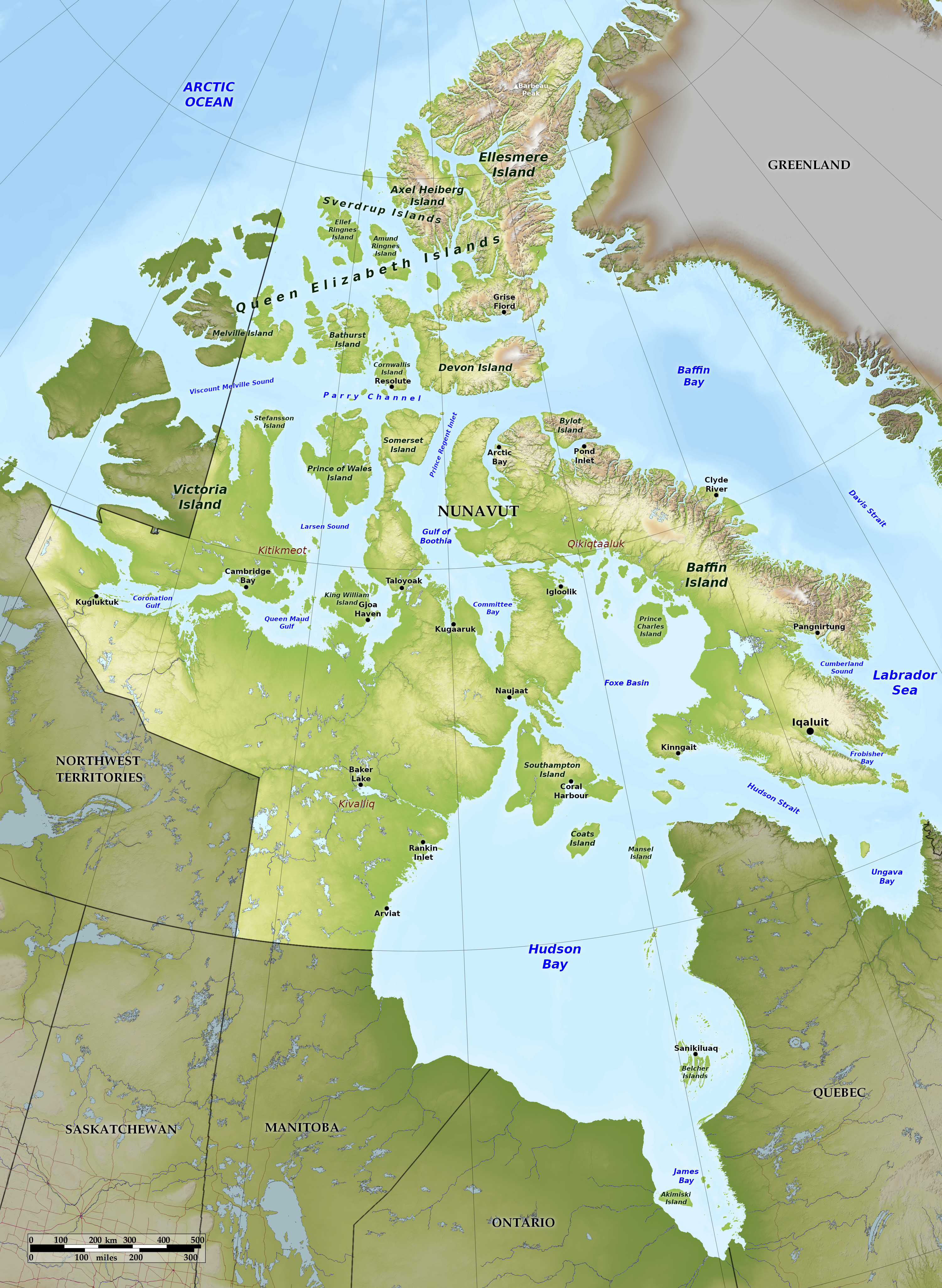 Relief map of Nunavut
What is the landscape of Nunavut like?
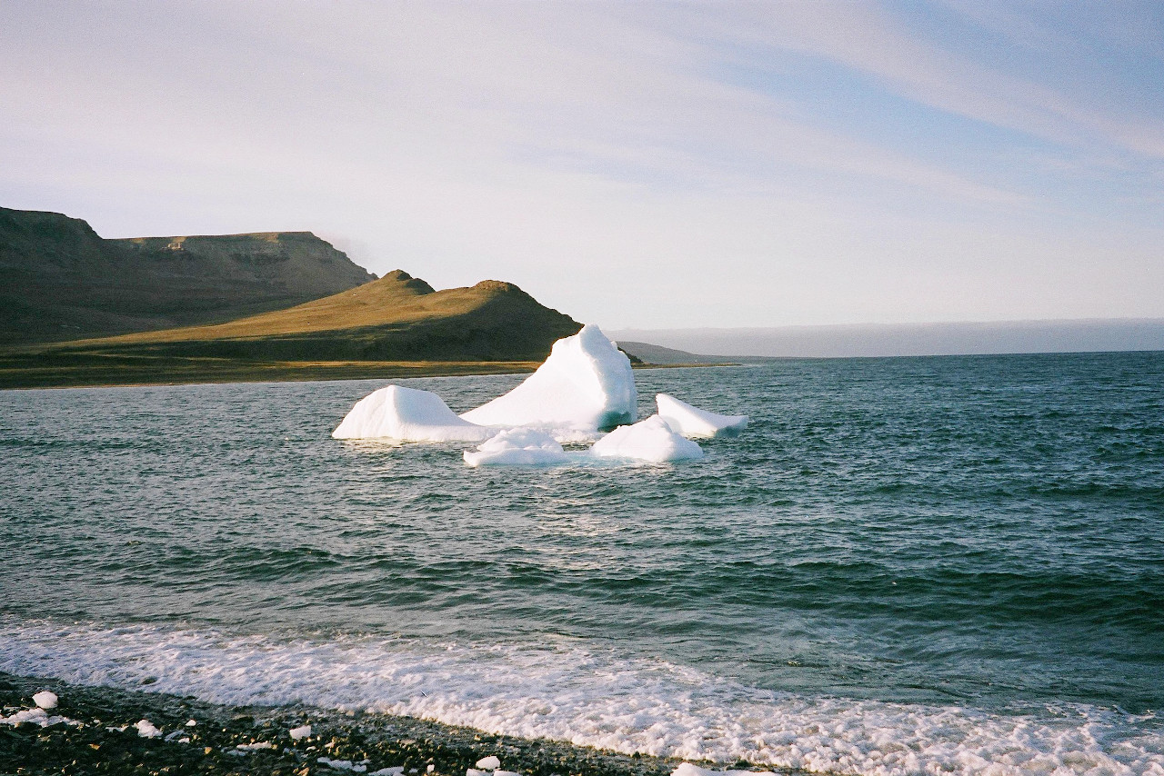
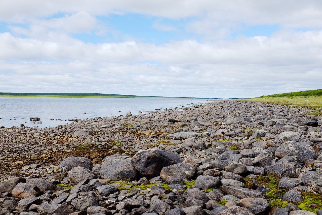
The landscape of Nunavut is a variation of swamps, lakes, and rivers. The landscape of Nunavut has been shaped by ice sheets and glaciers, which carved out deep valleys and fjords. The country in the interior is often rugged, but nowhere attains a great height except in the Arctic islands of the far north. Nunavut’s highest ground is found on Baffin Island and Ellesmere Island, where many peaks rise 1,500 to 2,000 meters (5,000–6,500 feet) above sea level. The highest mountain is Mount Barbeau, at 2,616 meters (8,583 feet) on northern Ellesmere Island.
What is the nature of Nunavut like?
In the far south a belt of rather small and sparse trees extends westward from Hudson Bay—chiefly spruce, tamarack, and poplar. The remainder of the territory is barren of trees. A great space between Hudson Bay and the Arctic shores is almost a tundra, with mosses, lichens, and a few willows and hardy herbs.
A short but intense summer produces many small but brilliant flowers, including fireweed, purple saxifrage, sedge, louseworts, and wintergreen. Other common flowers in the south include dandelions, chamomile daisies, harebells, and buttercups. About 200 species of flowers grow north of the tree line.
What is the climate of Nunavut like?
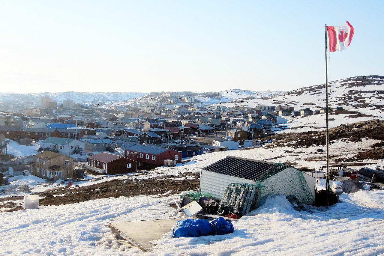
Nunavut has an extremely rigorous climate, and the few inhabitants are found mainly in the small villages along the coasts. It has short summers, and long and very severe winters. The varying amounts of daylight over the year are an important influence on the climate. In January, Iqaluit has only about 4.5 hours of daylight, but 20 hours of daylight in July.
Average January temperatures range from -20°C (-4°F) along southern Baffin Island to -37°C (-35°F) along northern Ellesmere Island. Average July temperatures range from 10°C (50°F) along the southern mainland to 2°C (36°F) in the north; inland temperatures are generally warmer. Most of Nunavut receives less than 300 millimeters (12 inches) of precipitation per year.
| Climate data for Iqaluit (1981–2010) | |||||||||||||
|---|---|---|---|---|---|---|---|---|---|---|---|---|---|
| Month | Jan | Feb | Mar | Apr | May | Jun | Jul | Aug | Sep | Oct | Nov | Dec | Year |
| Average high °C (°F) | −22.8 (−9.0) | −23.3 (−9.9) | −18.3 (−0.9) | −9.4 (15.1) | −1.2 (29.8) | 6.8 (44.2) | 12.3 (54.1) | 10.5 (50.9) | 5.2 (41.4) | −1.0 (30.2) | −8.3 (17.1) | −17.0 (1.4) | −5.6 (21.9) |
| Daily mean °C (°F) | −26.9 (−16.4) | −27.5 (−17.5) | −23.2 (−9.8) | −14.2 (6.4) | −4.4 (24.1) | 3.6 (38.5) | 8.2 (46.8) | 7.1 (44.8) | 2.6 (36.7) | −3.7 (25.3) | −12.0 (10.4) | −21.3 (−6.3) | −9.3 (15.3) |
| Average low °C (°F) | −30.9 (−23.6) | −31.7 (−25.1) | −28.1 (−18.6) | −18.9 (−2.0) | −7.6 (18.3) | 0.5 (32.9) | 4.1 (39.4) | 3.6 (38.5) | −0.1 (31.8) | −6.4 (20.5) | −15.8 (3.6) | −25.5 (−13.9) | −13.1 (8.4) |
| Average precipitation mm (inches) | 19.7 (0.78) | 18.7 (0.74) | 18.7 (0.74) | 27.5 (1.08) | 29.2 (1.15) | 33.0 (1.30) | 51.9 (2.04) | 69.5 (2.74) | 55.2 (2.17) | 33.3 (1.31) | 27.2 (1.07) | 19.9 (0.78) | 403.7 (15.89) |
| Average snowfall cm (inches) | 21.7 (8.5) | 21.0 (8.3) | 21.6 (8.5) | 31.5 (12.4) | 27.6 (10.9) | 9.3 (3.7) | 0.0 (0.0) | 0.9 (0.4) | 13.2 (5.2) | 29.4 (11.6) | 29.7 (11.7) | 23.4 (9.2) | 229.3 (90.3) |
| Source: Environment and Climate Change Canada | |||||||||||||
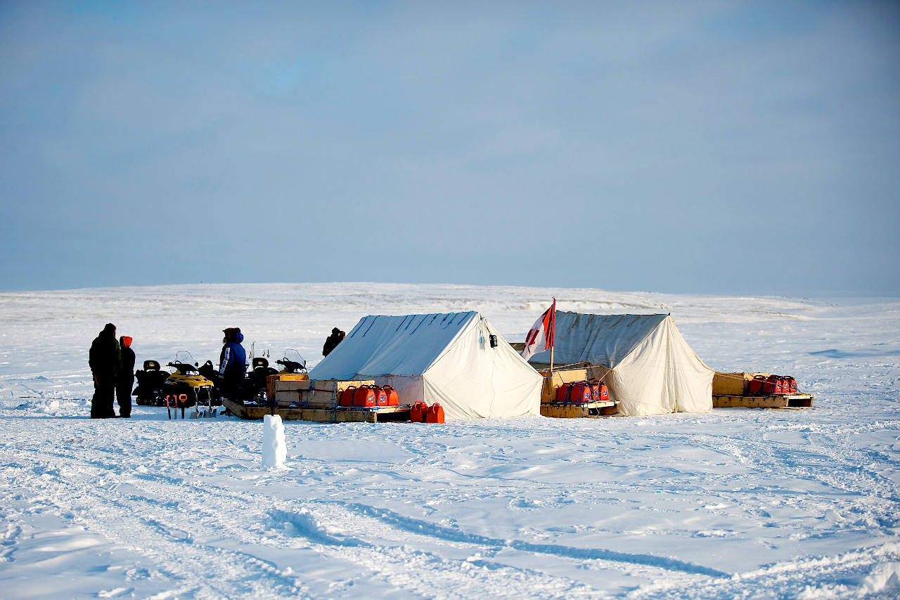 Canadian Rangers in Alert, Nunavut
The official websites
Nunavut
The Land of the Midnight Sun
| Location: | Northern Canada |
| Coordinates: | 70° 00′ N, 90° 45′ W |
| Size: | • 3500 km N-S; 2400 km E-W • 2200 miles N-S; 1500 miles E-W |
| Terrain: | Subarctic rocky landscape in the south. Tundra, sea ice, and snow caps in the north. |
| Climate: | Subarctic climate in the south. Long but cool summer days; dark, icy winters. Arctic conditions in the north. |
| Highest point: | Barbeau Peak 2,616 m / 8,583 ft |
| Forest: | 1% (2010) (source) |
| Population: | 39,407 (2021) |
| Population density: | Very Low (0.02/km²) |
| Capital: | Iqaluit |
| Languages: | Inuktitut / Inuinnaqtun (70%); English (26%) |
| Human Development Index: | Very High (0.924) |