The Geography of
Quebec
Why visit Quebec?
Quebec is a province of East Canada with a proud French heritage. Quebec’s landscape ranges from majestic mountain peaks covered with forests and ice fields to vast prairies, fertile valleys, cascading rivers and crystal lakes. Quebec City is one of North America's most historic cities and Quebec's villages offer a glimpse into rural Quebec life that is hard to find elsewhere. We highly recommend Quebec to anyone looking for a great place to visit.
Map
 Relief map of Quebec
What is the landscape of Quebec like?
Southern Quebec
The lowlands of Quebec lie on either side of the Saint Lawrence southwest of the city of Quebec. It is mostly level plain, on which are situated the main towns and cities of the province. These lowlands are bounded on the north by the Laurentian plateau, and on the south by the Notre Dame Mountains. It was a portion of this plain that was first occupied by the early French settlers. Here the general level rises only around hundred meters (300 feet) above sea-level, except in a few instances where isolated hills rise quite high, Mount Royal at Montreal being the best known of these.
To the east of these lowlands is a rugged area south of the Saint Lawrence. This is the northern extremity of the great Appalachian mountain chain. This portion of Quebec is broken and hilly throughout, rising to a height of 1,200 meters (4,000 feet) in the Notre Dame range. Continuing on to the northeast it develops into the high land of the Gaspé Peninsula, of which the highest portion constitutes the Chic-Choc ("shickshock") Mountains, the higher summits of which rise to heights of 900 to 1,200 meters (3,000–4,000 feet). The whole central area of the Gaspé Peninsula is a forest-clad wilderness.
The whole country is abounds in numerous large rivers, bays and lakes. The principal river is the St Lawrence, which flows through the entire length of the province. A short distance above Montreal it receives from the north-west the Ottawa, a large and beautiful river over 600 miles in length. The Lawrence River system itself has numerous tributaries have frequent falls and rapids along their courses. This produces grand scenery which annually attracts thousands of tourists. The island of Anticosti, at the mouth of the Saint Lawrence, and the Magdalen group, north of Prince Edward Island, are the most important of the large number of islands of Quebec.
Northern Quebec
Northern Quebec is only lightly inhabited, but constitutes the main bulk of the province. It begins with the so-called "Laurentian Mountains". This is really a plateau, typically about 300 to 600 meters (1,000–2,000 feet) above sea level, which becomes gradually higher to the east, but falling away to the north.
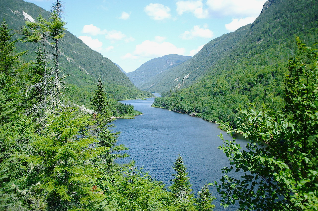
It is an undulating region, densely wooded and everywhere covered in lakes, great and small, from which issue many rivers. These lakes and rivers form so continuous a series of waterways that a traveller who knows their courses, can cross this immense tract of country by canoe. The waters are clear and pure, and some of the rivers run in very deep, high walled valleys or fjords cut into the solid rock. To the east the country rises to much greater altitudes along the border with Labrador, attaining heights of 1,500 meters (5,000 feet) in places.
What is the nature of Quebec like?
In the valleys and the highlands south of the Saint Lawrence there is a mixed forest such as is typical of the New England States to the south. Here are found maples, oak, beech, elm, and other hardwood trees, together with the red and the white pine, the cedar, spruce, birch, and other evergreens.
In the highlands to the north the environment becomes increasingly sub-Arctic. The tamarack (a species of larch) and the spruce occupy the wet boggy lands in the southern portion of this region, becoming common also on the drier lands farther north. Further north the land is essentially treeless; the forests largely limited to the better drained lands along the rivers. The vegetation in the far north consists of sphagnum bogs with sedges and Arctic flowering plants, followed in the extreme north by tundra with lichens, especially reindeer moss.
What is the climate of Quebec like?
The climate of Quebec is highly variable. The distinctly continental in the west gives way to an oceanic climate along the Gulf of St. Lawrence. The winters in Quebec are long and cold; the summers warm, though not to excess. Around Montreal snow lies on the ground from the end of November until the following April. The summer is warm and pleasant. The finest season of the year is the autumn, which lasts about six or eight weeks. In the north, the climate is more extreme—there is a short summer, and the lakes and rivers are frozen from October to June.
| Climate data for Quebec City (1981–2010) | |||||||||||||
|---|---|---|---|---|---|---|---|---|---|---|---|---|---|
| Month | Jan | Feb | Mar | Apr | May | Jun | Jul | Aug | Sep | Oct | Nov | Dec | Year |
| Average high °C (°F) | −7.9 (17.8) | −5.6 (21.9) | 0.2 (32.4) | 8.3 (46.9) | 17.0 (62.6) | 22.3 (72.1) | 25.0 (77.0) | 23.6 (74.5) | 17.9 (64.2) | 11.1 (52.0) | 2.9 (37.2) | −4.2 (24.4) | 9.2 (48.6) |
| Daily mean °C (°F) | −12.8 (9.0) | −10.6 (12.9) | −4.6 (23.7) | 3.7 (38.7) | 11.2 (52.2) | 16.4 (61.5) | 19.3 (66.7) | 18.1 (64.6) | 12.7 (54.9) | 6.6 (43.9) | −0.7 (30.7) | −8.6 (16.5) | 4.2 (39.6) |
| Average low °C (°F) | −17.7 (0.1) | −15.6 (3.9) | −9.4 (15.1) | −1 (30) | 5.4 (41.7) | 10.5 (50.9) | 13.5 (56.3) | 12.5 (54.5) | 7.5 (45.5) | 2.0 (35.6) | −4.2 (24.4) | −12.8 (9.0) | −0.8 (30.6) |
| Average precipitation mm (inches) | 86.6 (3.41) | 74.5 (2.93) | 76.1 (3.00) | 83.5 (3.29) | 115.9 (4.56) | 111.4 (4.39) | 121.4 (4.78) | 104.2 (4.10) | 115.5 (4.55) | 98.3 (3.87) | 102.5 (4.04) | 99.9 (3.93) | 1,189.7 (46.84) |
| Average snowfall cm (inches) | 71.9 (28.3) | 63.6 (25.0) | 46.4 (18.3) | 13.2 (5.2) | 0.0 (0.0) | 0.0 (0.0) | 0.0 (0.0) | 0.0 (0.0) | 0.0 (0.0) | 3.2 (1.3) | 32.7 (12.9) | 72.4 (28.5) | 303.4 (119.4) |
| Source: Environment and Climate Change Canada | |||||||||||||
 Quartier Petit Champlain, Vieux-Québec
The official websites
Quebec

Je me souviens
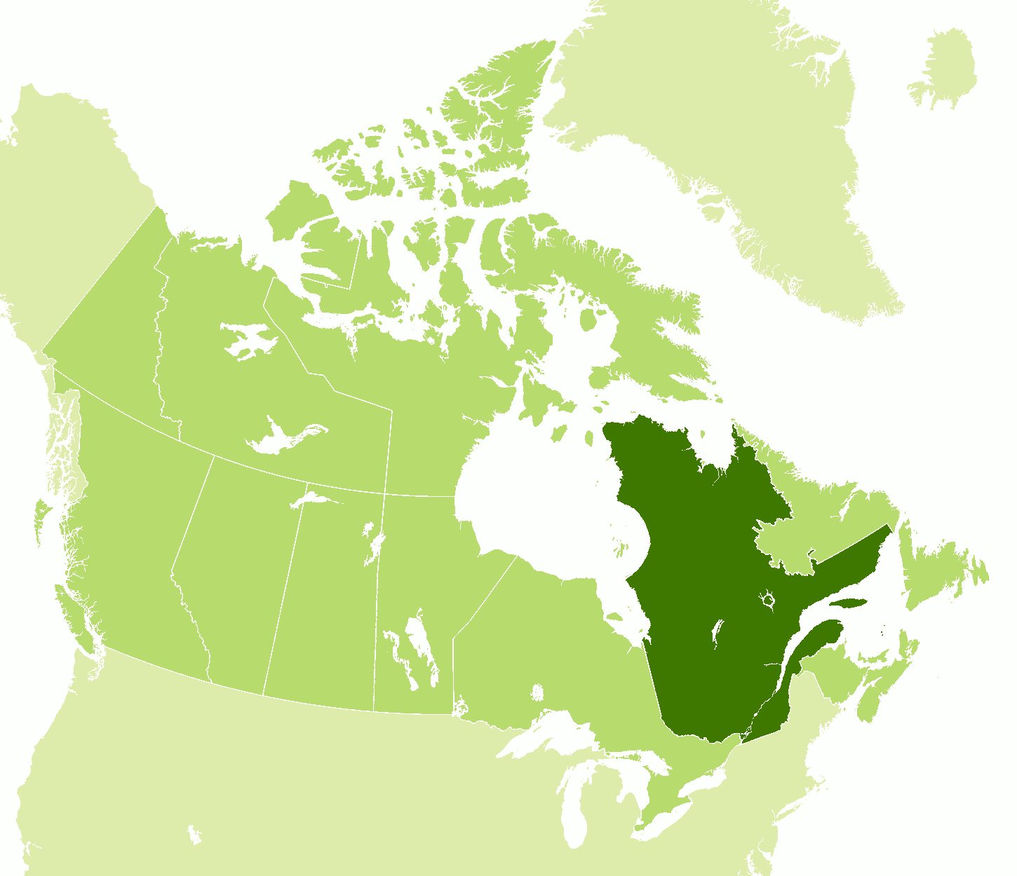
| Location: | Eastern Canada |
| Coordinates: | 52° 00′ N, 72° 00′ W |
| Size: | • 2000 km N-S; 1500 km E-W • 1250 miles N-S; 930 miles E-W |
| Terrain: | Lowland plains in the north; mountains in the east and south; lowlands around the Saint Lawrence river |
| Climate: | Relatively temperate in the south with warm summers and cold winters; becoming subarctic in the north |
| Highest point: | Caubvick / D'Iberville 1,652 m / 5,420 ft |
| Forest: | 54% (2010) (source) |
| Population: | 8,575,779 (2020) |
| Population density: | Very Low (6/km²) |
| Capital: | Quebec City |
| Languages: | French (81%); English (8%) |
| Human Development Index: | Very High (0.916) |


.jpg)
.jpg)
.jpg)