.jpg)
.jpg&oldid=454681671)
The Geography of
Yukon
Why visit Yukon?
Yukon is located in the far northwest of Canada, and there is no doubt that Yukon is one of the most beautiful parts of Canada. The territory gets its name from its chief river, the Yukon, and includes the highest mountain in Canada, Mount Logan. Highlights include the Klondike Gold Rush International Historical Park which extends into Alaska. With its lush forests, towering peaks and crystal-clear lakes, it's difficult not to be captivated by Yukon.
Contents
Map
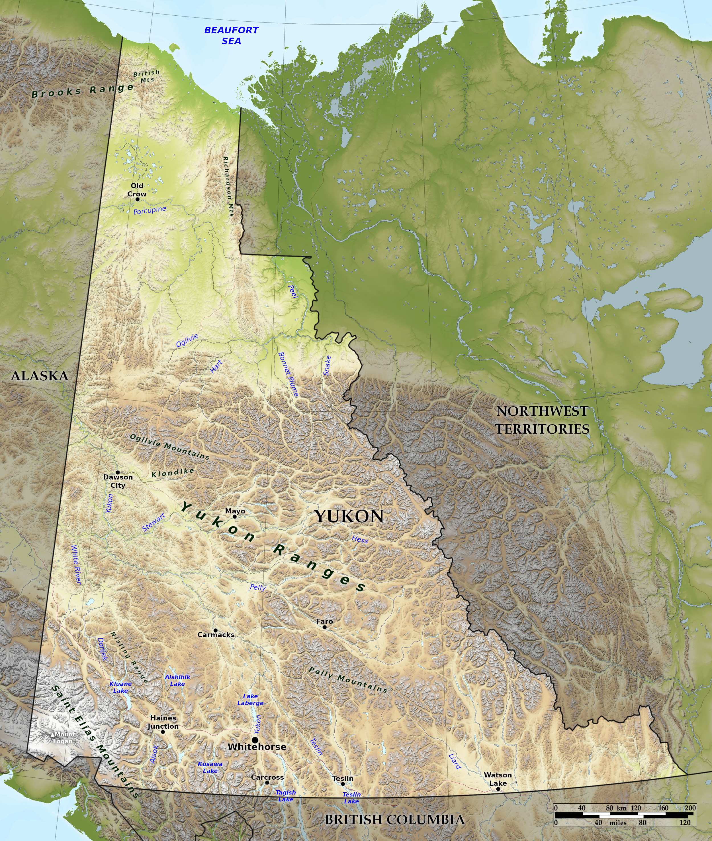 Relief map of Yukon
What is the landscape of Yukon like?
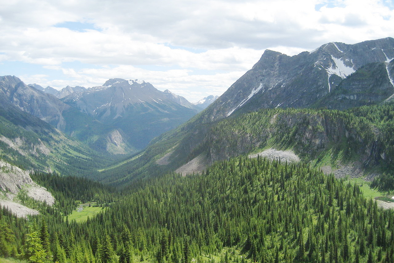
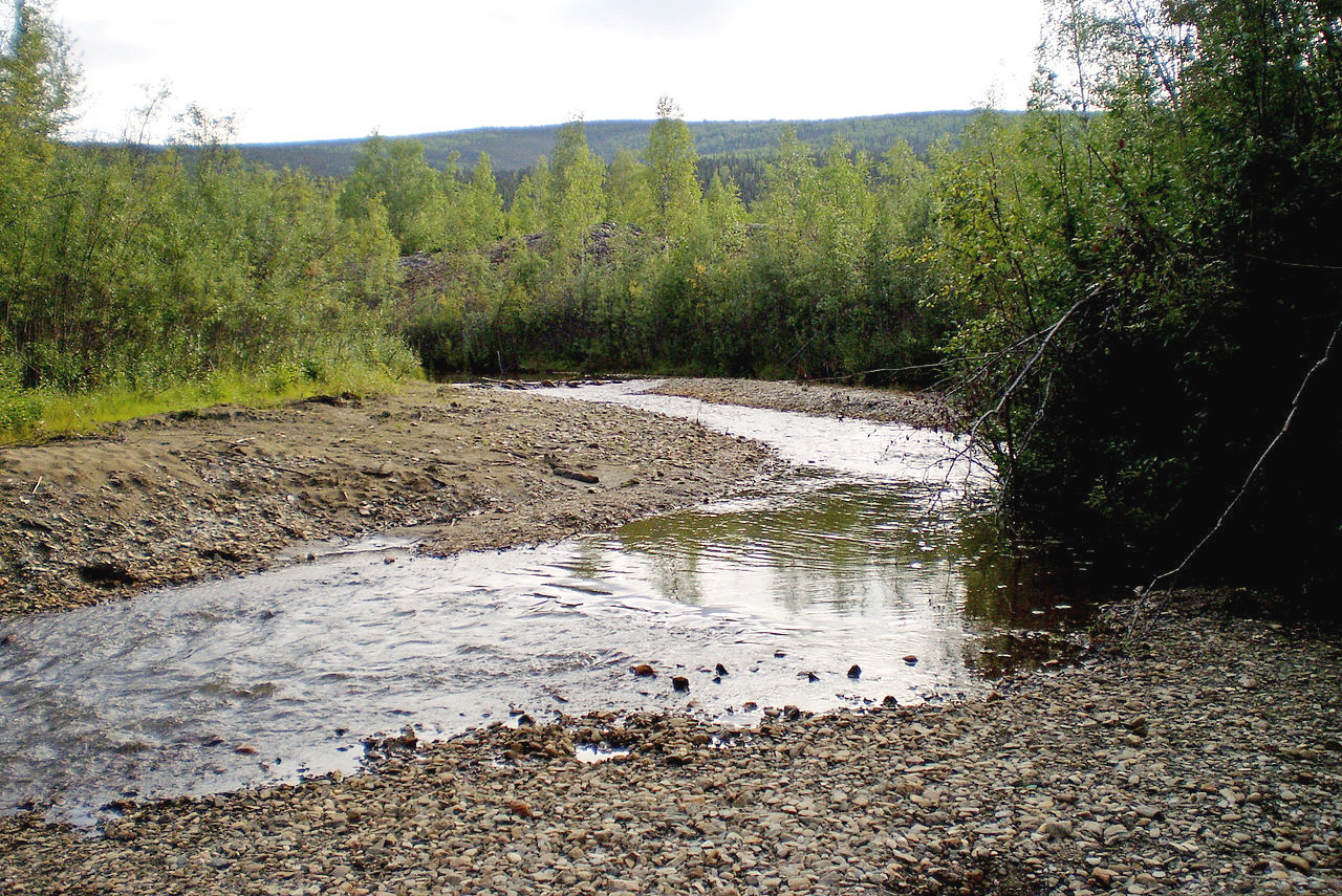
The whole country is filled with mountain ranges and rolling hills penetrated everywhere by large rivers. There are a number of peaks rising above the snow-line in the north and in the southwest, the highest being Mount Logan in the St Elias range, close to the Alaskan boundary, with a height of 5,959 m (19,551 feet). The northern extension of the Rocky Mountains runs along the eastern border; here, however, the mountains are not very high. The interior of the territory is high toward the southeast and sinks toward the northwest, and has many low mountains in the south. The principal river is the Yukon River.
The sensational finds of gold in the Klondike in 1896 brought in a new population centred in the mines and at Dawson City, which was made the capital of the newly constituted Yukon Territory. The journey to the Klondike is very attractive in summer—comparatively little snow is seen during summer, though there are patches on the low mountains. The Rocky Mountains, northeast of the interior plateau, are somewhat snowy, but with no large glaciers; but the St Elias range to the southwest is buried under immense snowfields, from which great glaciers project into the valleys.
What is the nature of Yukon like?
Vegetation is luxuriant along the river valleys. Large forests or woods of spruce and poplar cover the valleys and mountain slopes up to an altitude of about 750 meters (2,500 feet). The short growing season produces an explosion of small wildflowers every year. Edible vegetation includes wild raspberries and strawberries, mossberries, and dewberries.
What is the climate of Yukon like?
The Yukon territory has a subarctic climate with very cold winters seven months long, and delightful sunny summers. Temperatures frequently reaching 25°C (77°F) or more during the long summer days. In winter the temperature ranges between 4°C and -50°C (39°F and 58°F) in the south and slightly colder farther north.
Above the Arctic Circle (latitude 66 north), the Yukon is known as "the land of the midnight sun" because for three months in summer, sunlight is almost continuous. But the summers are very short, and frost occurs every month in the year. Because of the high mountains to the west the amount of rain and snow is rather small, and the line of perpetual snow is more than 1,200 meters (4,000 feet) above sea-level, so that glaciers are found only on the higher mountains.
| Climate data for Whitehorse (1981–2010) | |||||||||||||
|---|---|---|---|---|---|---|---|---|---|---|---|---|---|
| Month | Jan | Feb | Mar | Apr | May | Jun | Jul | Aug | Sep | Oct | Nov | Dec | Year |
| Average high °C (°F) | −12.1 (10.2) | −6.6 (20.1) | 0.3 (32.5) | 8.5 (47.3) | 15.3 (59.5) | 20.4 (68.7) | 21.6 (70.9) | 19.5 (67.1) | 12.8 (55.0) | 4.3 (39.7) | −6.2 (20.8) | −9.1 (15.6) | 5.7 (42.3) |
| Daily mean °C (°F) | −16.2 (2.8) | −11.8 (10.8) | −6 (21) | 1.8 (35.2) | 8.0 (46.4) | 13.1 (55.6) | 15.1 (59.2) | 13.1 (55.6) | 7.5 (45.5) | 0.5 (32.9) | −9.8 (14.4) | −13.2 (8.2) | 0.2 (32.4) |
| Average low °C (°F) | −20.4 (−4.7) | −17.0 (1.4) | −12.3 (9.9) | −4.9 (23.2) | 0.7 (33.3) | 5.9 (42.6) | 8.5 (47.3) | 6.6 (43.9) | 2.1 (35.8) | −3.4 (25.9) | −13.4 (7.9) | −17.3 (0.9) | −5.4 (22.3) |
| Average precipitation mm (inches) | 19.2 (0.76) | 13.6 (0.54) | 11.7 (0.46) | 6.8 (0.27) | 16.3 (0.64) | 33.4 (1.31) | 39.6 (1.56) | 36.5 (1.44) | 35.3 (1.39) | 26.1 (1.03) | 22.7 (0.89) | 20.3 (0.80) | 281.6 (11.09) |
| Average snowfall cm (inches) | 19.0 (7.5) | 13.5 (5.3) | 11.9 (4.7) | 4.6 (1.8) | 1.2 (0.5) | 0.0 (0.0) | 0.0 (0.0) | 0.4 (0.2) | 5.6 (2.2) | 16.3 (6.4) | 21.9 (8.6) | 20.2 (8.0) | 114.6 (45.1) |
| Source: Environment and Climate Change Canada | |||||||||||||
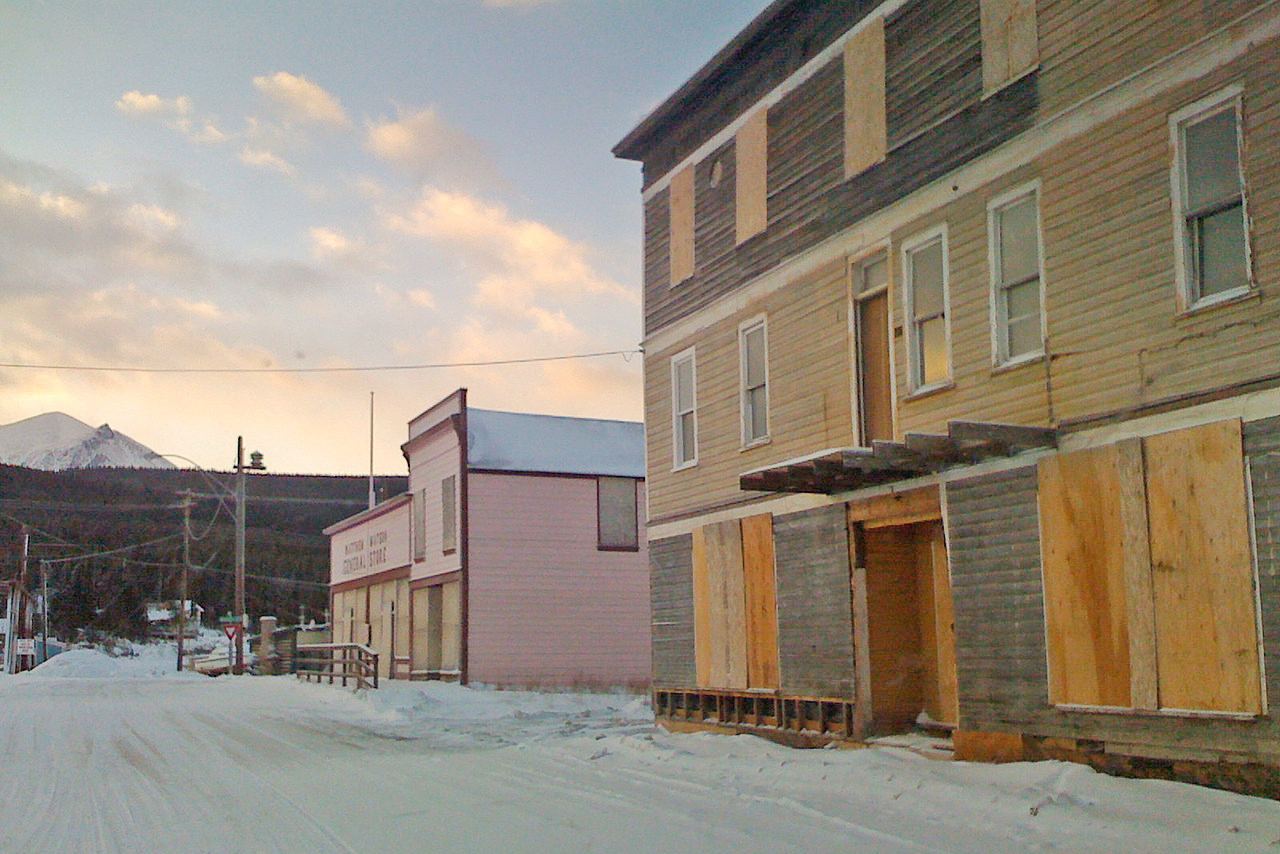 Carcross, as seen in winter
The official websites
Yukon
Larger Than Life
| Location: | Northwestern Canada |
| Coordinates: | 63° 00′ N, 135° 00′ W |
| Size: | • 1050 km N-S; 925 km E-W • 650 miles N-S; 575 miles E-W |
| Terrain: | Mountainous. Subarctic forest belts in the south. Rocky tundra plains in the north. |
| Climate: | Subarctic climate. Warm, long summer days; dark, icy winters |
| Highest point: | Mount Logan 5,959 m / 19,551 ft |
| Forest: | 53% (2010) (source) |
| Population: | 42,192 (2021) |
| Population density: | Very Low (0.1/km²) |
| Capital: | Whitehorse |
| Languages: | English (86%); French (3%); Other, includes Athabaskan languages, (10%) |
| Human Development Index: | Very High (0.924) |