.jpg)
The Geography of
Lesotho
Lesotho is a mountainous country—everywhere grand, and often beautiful. Viewed from a distance the mountains appear as dark perpendicular barriers, quite impenetrable; but trails lead round the precipitous face of the hills, and when the inner side is gained there are wonderful views.
Map
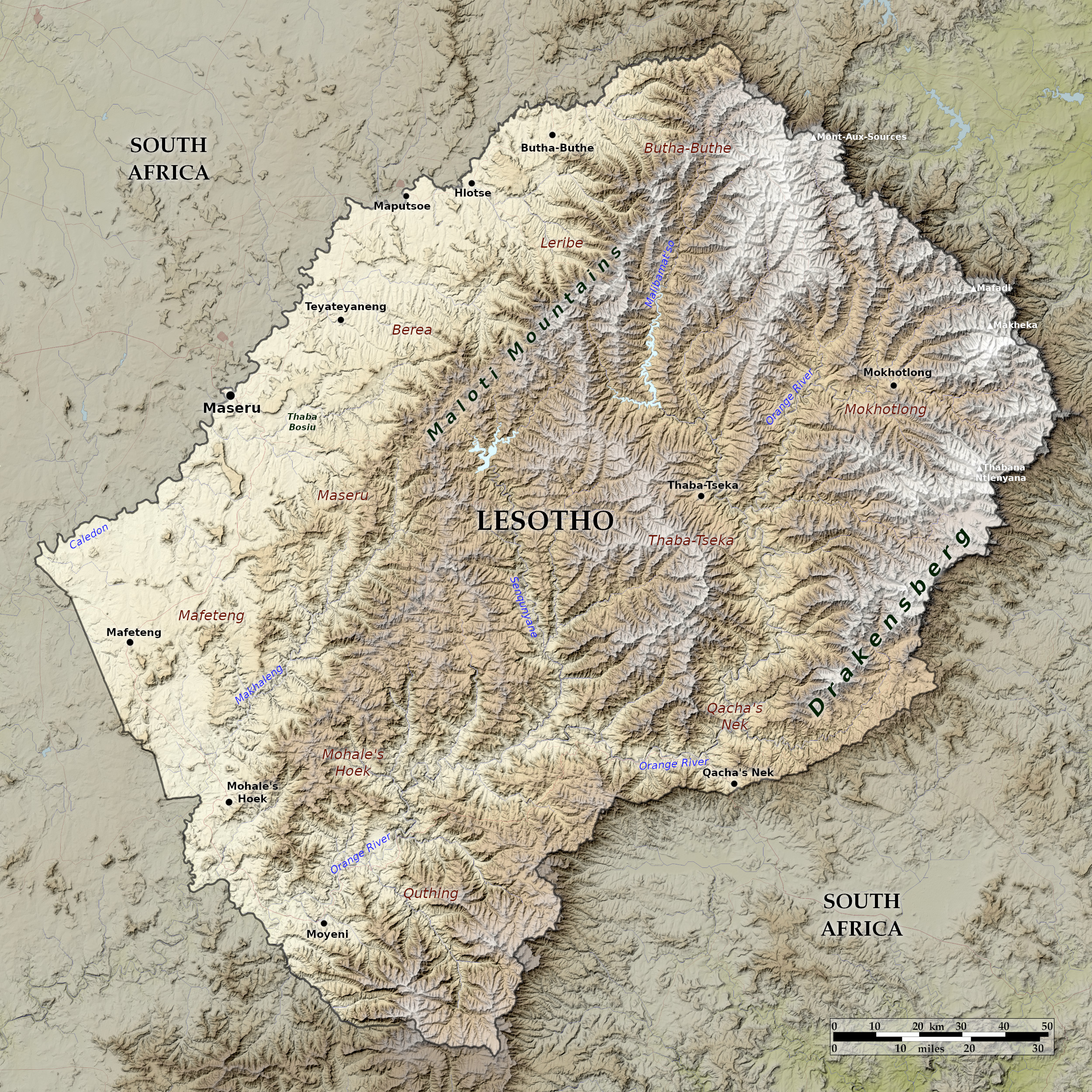 Relief map of Lesotho
What is the landscape of Lesotho like?
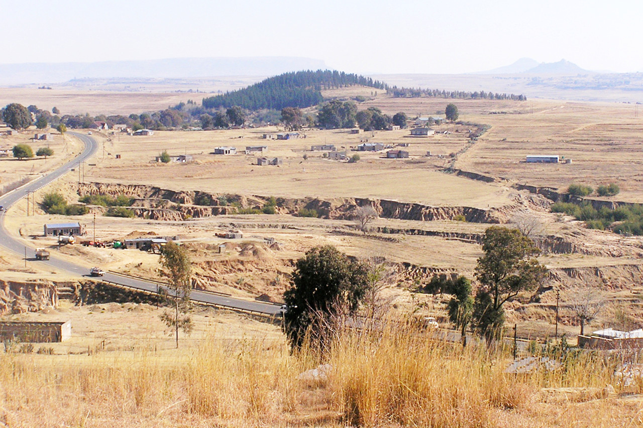
Lesotho is divisible into two distinct regions—the lowland Lesotho in the west, actually over 1,500 meters (5,000 feet) high and the volcanic or upland Lesotho in the east to over 3,000 meters (10,000 feet). The lowlands are a series of terrace-like platforms bounded by rocky slopes; its soils are light and sandy. The uplands make up the greater part of the country, they are characterized by long, steep, grassy slopes and well supplied with springs and brooks; the volcanic rocks weather to black fertile soils.
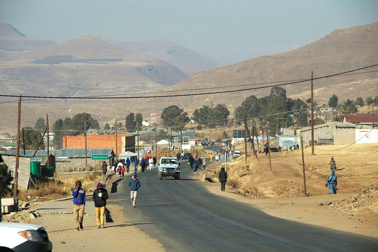
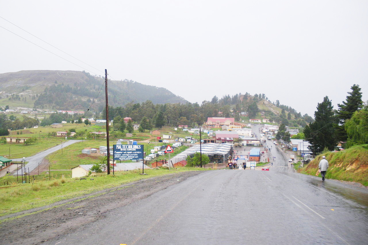
Lowlands
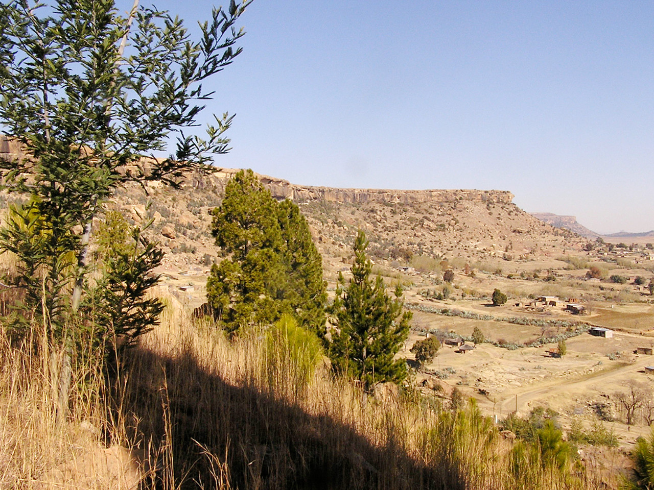
The Lowlands formed the cradle for the Lesotho nation. Within the lowlands the rocky westward facing escarpments ranging up to several hundred feet, enabled the settlements to grow, occupying hillsides or rock ledges overlooking the cultivable land of the valleys. From the tableland north of the Maloti several isolated hills rise, the most noted being Thaba Bosiu—the rallying place of the people in the 19th-century.
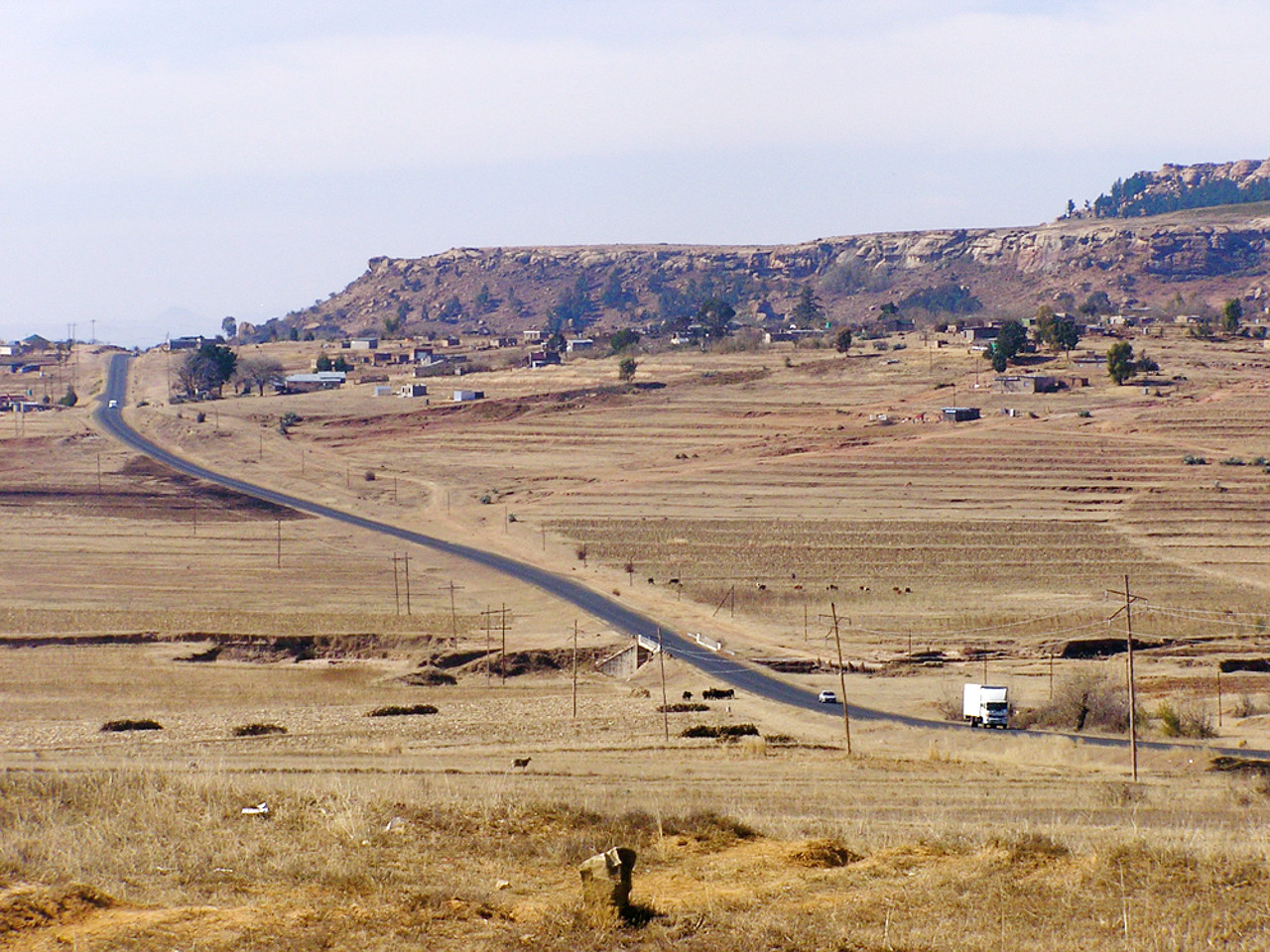
Lesotho is also one of the great grain-growing countries of South Africa. The richest tract of land is that between the Maloti mountains and the Caledon River. In summer the country appears as one waving field of wheat, millet and corn; whilst on the mountain slopes and on their flat tops are large flocks of sheep, cattle and goats.
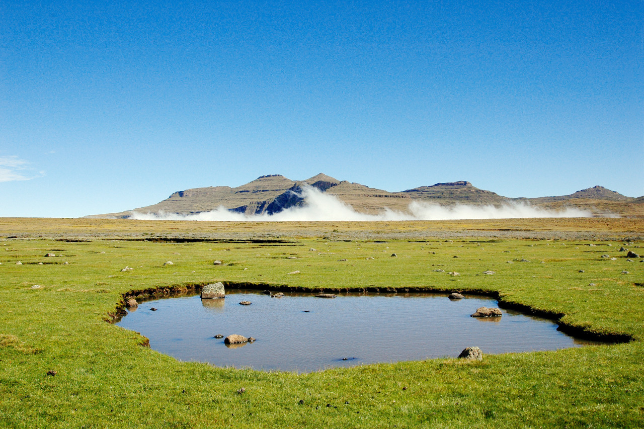
Highlands
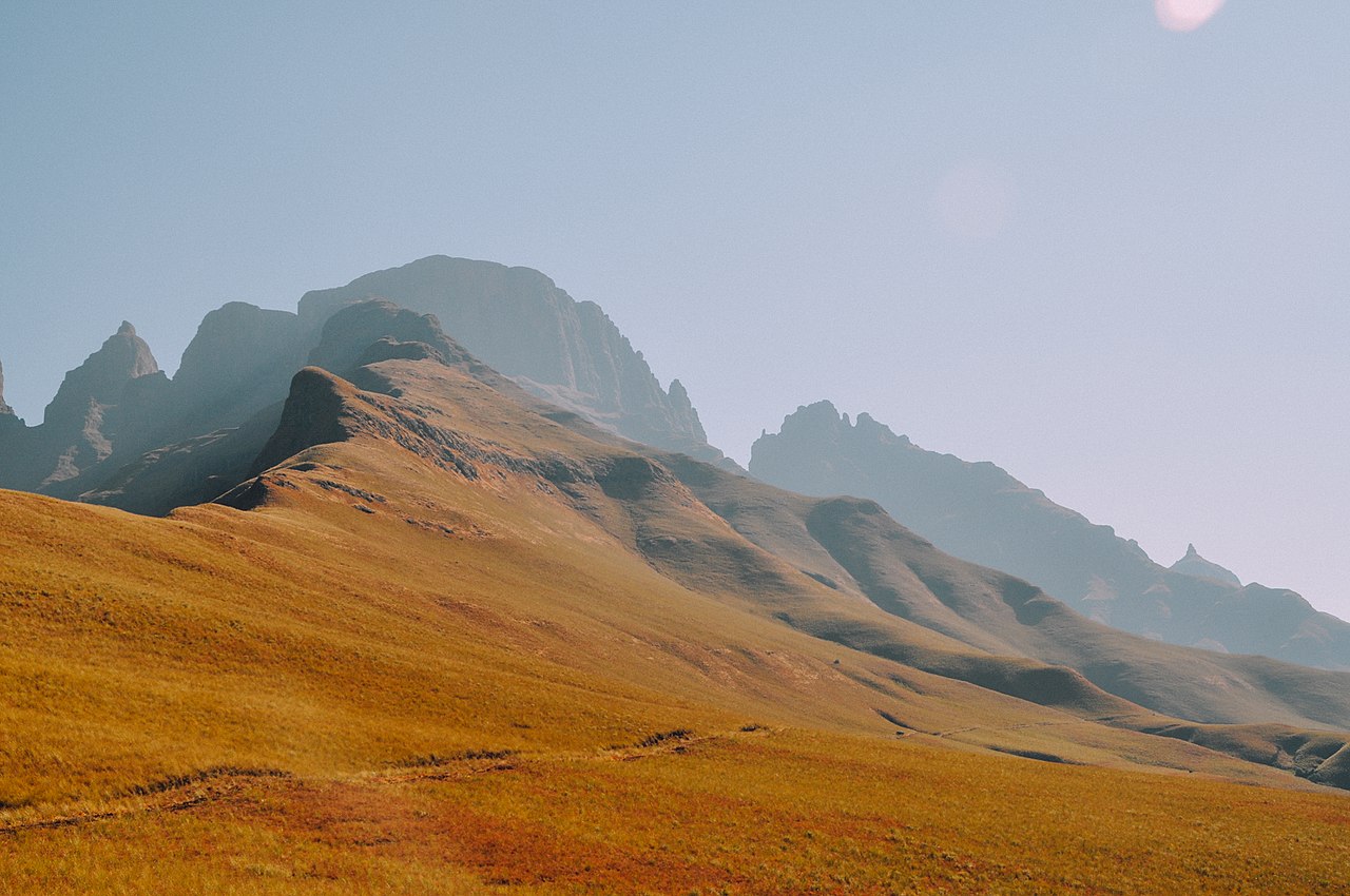
The Drakensberg range forms the buttress of the Highlands to the south and east, and attain their highest elevation on the border with KwaZulu-Natal. The frontier line follows the crest of the mountains, with peaks some 3,000 meters (10,000 feet) or more. From Mont aux Sources, table-shaped, a second range of mountains, the Maloti, runs southwest through the entire length of Basutoland. The crest of the Maloti often exceeds 2,000 meters (6,500 feet).
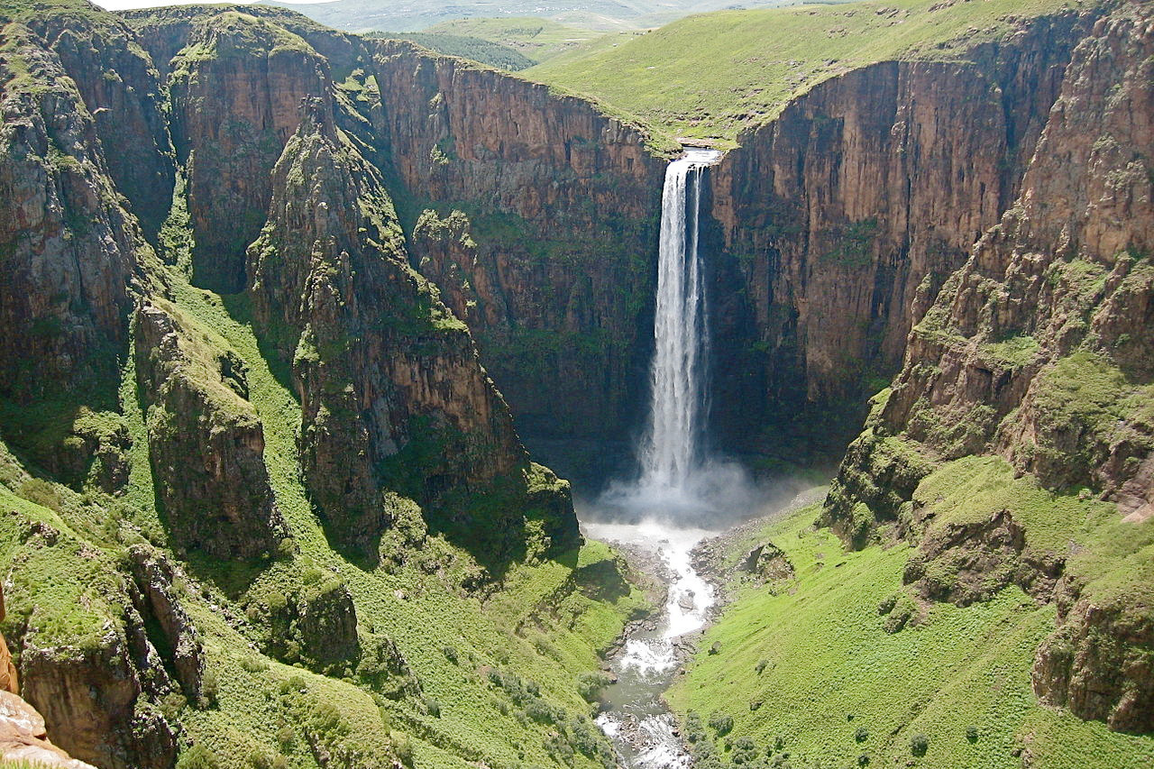
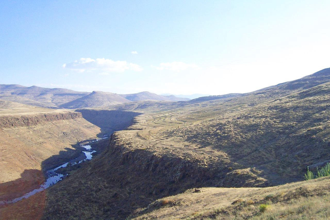
In every direction can be seen luxuriant valleys through which rivers thread their silvery way, wild chasms, magnificent waterfalls—that of Maletsunyane has an unbroken leap of over 180 meters (600 feet)—and, above all, hill crest after hill crest in seeming endless succession. In winter the effect is heightened by the snow which caps all the higher peaks.
Shut off from the east by the mountain barrier, the rivers of the country instead flow westward to the distant Atlantic. As its name implies, the chief rivers rise in Mont aux Sources. From the slopes of the Maloti descend many streams, the largest being the Makhaleng River, which combines with the Senqunyane River and torrents from the Drakensberg to form the upper Orange River. Ordinarily shallow, the rivers after heavy rain fill with great rapidity.
What is the nature of Lesotho like?
.jpg&oldid=648567631)
.jpg&oldid=520096686)
.jpg&oldid=386749307)
_Flying,_Lesotho,_Sep_2008.jpg&oldid=269347683)
Lesotho is largely covered in grassland. Heathland, somewhat rare in South Africa outside the Cape peninsula, is abundant in Lesotho, and the Alpine flora is very beautiful. Some valleys are wooded, but there is little forest land. Along the upper courses of the rivers are willows and wild olive trees; round the towns the eucalyptus and the poplars have been planted.
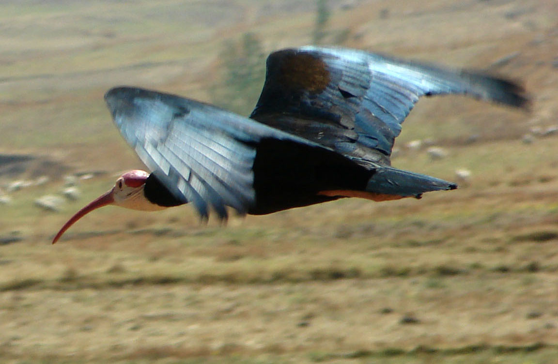
There are few of the larger wild animals of Southern Africa; but the eland and smaller antelopes are found, as well as the leopard and the caracal. Mountain hares, baboons and great hawks live in the mountains.
What is the climate of Lesotho like?
See our main article: The Climate of Lesotho
The climate of Lesotho is continental with a hot summer and a cold winter. The four seasons are distinctly marked, a rarity in South Africa, where the transition from summer to winter is usually very rapid. The heat of summer (December to March, which is the rainy season) is tempered by cool breezes; winter (May to September) is dry, cold and bracing, and frosts occur for prolonged periods.
| Climate data for Maseru | |||||||||||||
|---|---|---|---|---|---|---|---|---|---|---|---|---|---|
| Month | Jan | Feb | Mar | Apr | May | Jun | Jul | Aug | Sep | Oct | Nov | Dec | Year |
| Average high °C (°F) | 28 (82) | 27 (81) | 25 (77) | 21 (70) | 18 (64) | 15 (59) | 16 (61) | 19 (66) | 23 (73) | 24 (75) | 26 (79) | 28 (82) | 22.5 (72.5) |
| Daily mean °C (°F) | 21 (70) | 20.5 (68.9) | 18.5 (65.3) | 14.5 (58.1) | 10.5 (50.9) | 7.5 (45.5) | 7.5 (45.5) | 10.5 (50.9) | 14.5 (58.1) | 16.5 (61.7) | 19 (66) | 20.5 (68.9) | 14.5 (58.1) |
| Average low °C (°F) | 14 (57) | 14 (57) | 12 (54) | 8 (46) | 3 (37) | 0 (32) | −1 (30) | 2 (36) | 6 (43) | 9 (48) | 12 (54) | 13 (55) | 7.7 (45.9) |
| Average precipitation mm (inches) | 114 (4.5) | 89 (3.5) | 96 (3.8) | 67 (2.6) | 29 (1.1) | 12 (0.5) | 14 (0.6) | 15 (0.6) | 19 (0.7) | 63 (2.5) | 80 (3.1) | 93 (3.7) | 691 (27.2) |
| Source: Danish Meteorological Institute | |||||||||||||
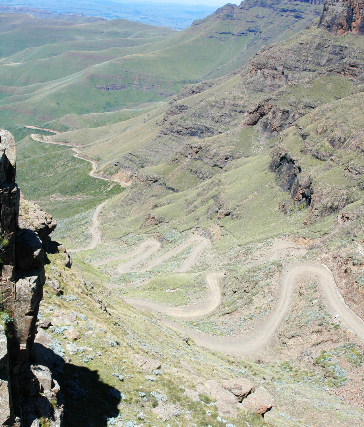 Sani Pass
The official websites
Lesotho
The Kingdom in the Sky
| Location: | Southern Africa, an enclave of South Africa |
| Coordinates: | 29° 30′ N, 28° 30′ E |
| Size: | • 250 km N-S; 180 km E-W • 155 miles N-S; 110 miles E-W |
| Terrain: | Mostly highland with plateaus, hills, and mountains |
| Climate: | Temperate; cool to cold, dry winters; hot, wet summers |
| Highest point: | Thabana Ntlenyana 3,482 m / 11,424 ft |
| Forest: | 1.5% (2011 est.) |
| Population: | 1,969,334 (July 2020 est.) |
| Population density: | Low (68/km²) |
| Capital: | Maseru |
| Languages: | Sesotho (official) (southern Sotho), English (official), Zulu, Xhosa |
| Human Development Index: | Low (0.527) |
| Currency: | Lesotho Loti / South African Rand |