The Geography of
Indiana
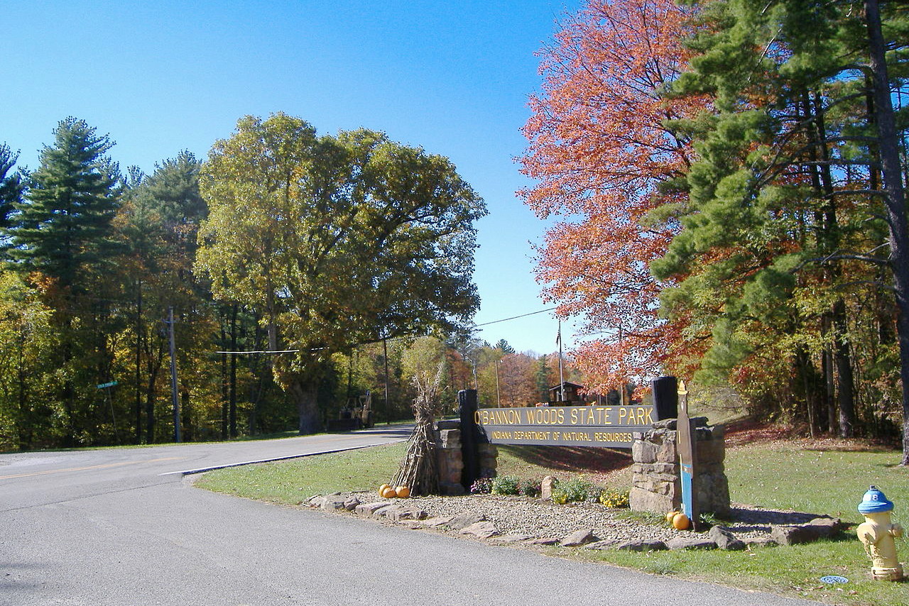
Why visit Indiana?
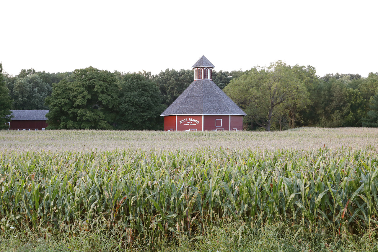
Indiana has an abundance of natural resources, including forests, lakes and rivers. Indiana has long been known as the "Crossroads of America." The State is famous for its broad, fertile plains, rolling hills, and even beaches along Lake Michigan. The Hoosier State also offers visitors a wealth of attractions including Wabash River, Wyandotte Cavern, and the Indiana Dunes National Lakeshore.
Map
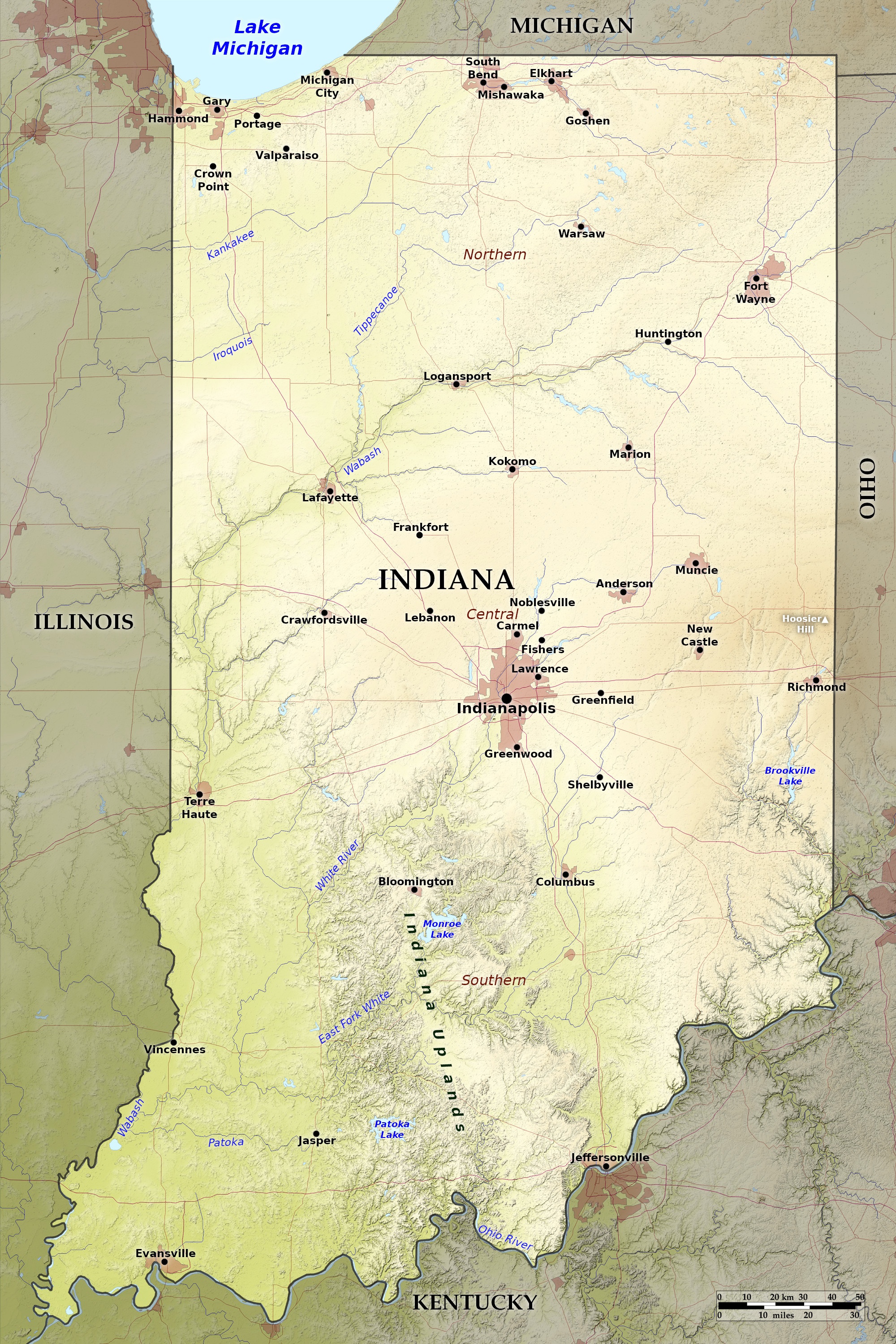 Relief map of Indiana
What is the landscape of Indiana like?
North
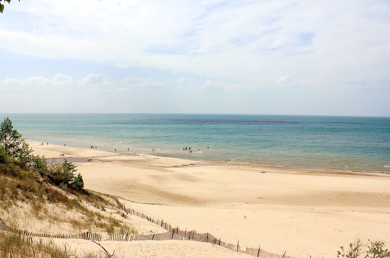
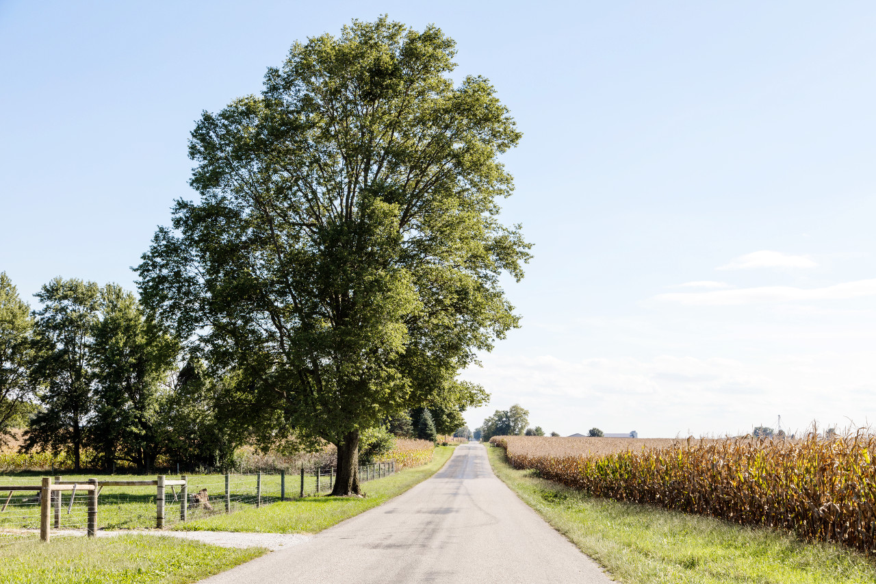
The greater part of Indiana is undulating prairie land. In the north-west the Great prairie begins that stretches into Illinois. But the northern part of the State is by no means flat, and there are sandy hills near Lake Michigan and elsewhere. The shore of Lake Michigan is famous for its beach's enormous sand dunes, as well as the diverse woodlands of Indiana Dunes State Park.
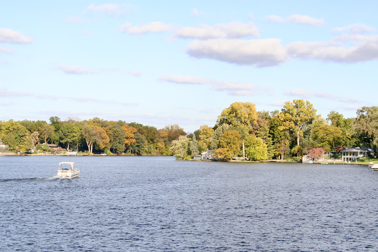
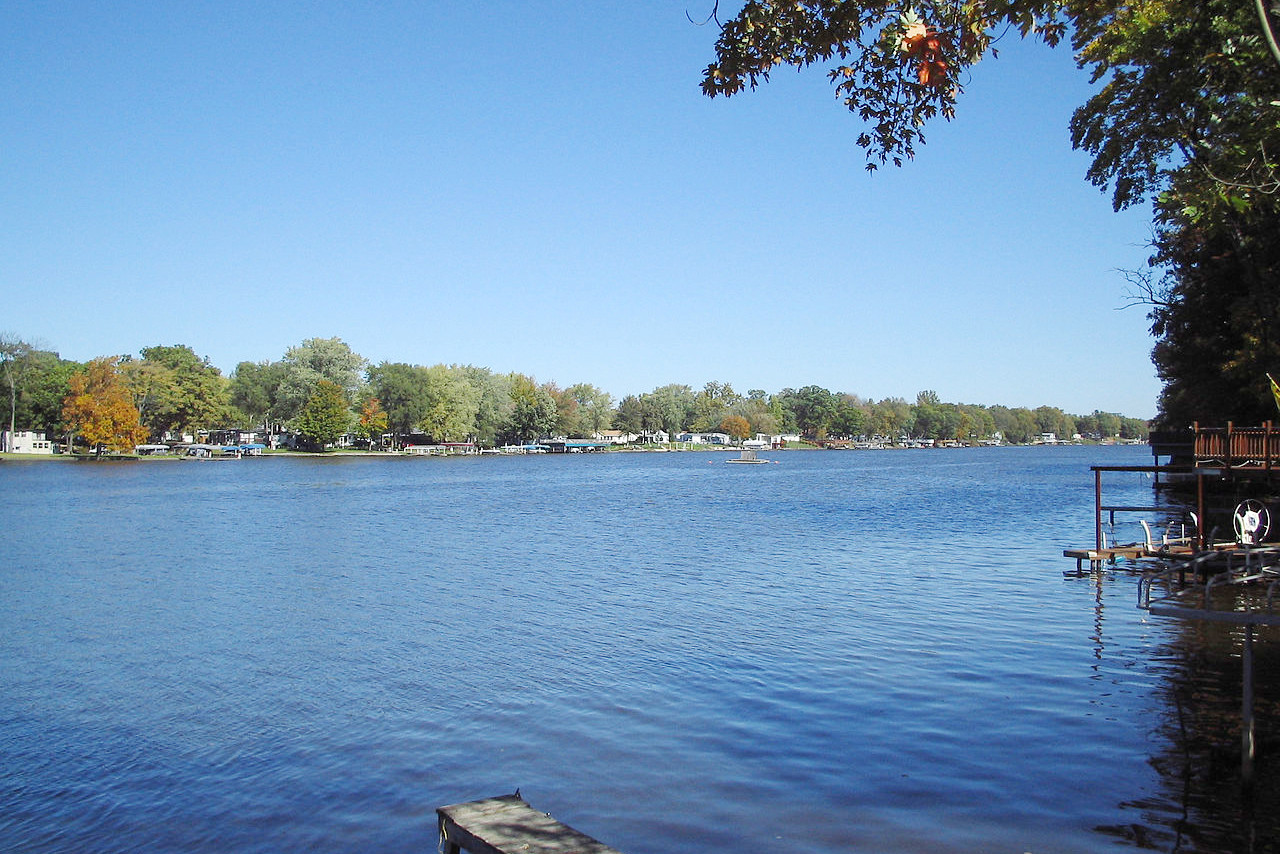
The great farming area is in the north and central region, where the retreating ice sheet during the last Ice Age enriched the soil, scooped out lakes, and cut passageways for rivers. During the Ice Ages, most of the State lay under ice some 2,000 feet (600 m) thick. In addition to Lake Michigan on the northwestern border, there are more than 400 lakes in the northern part of the state. These lakes, of glacial origin, are known for their clear waters and sandy shores.
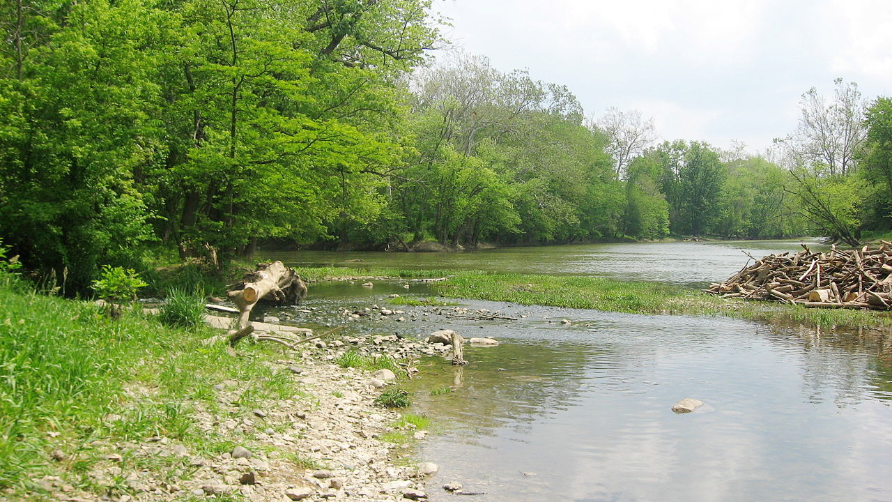
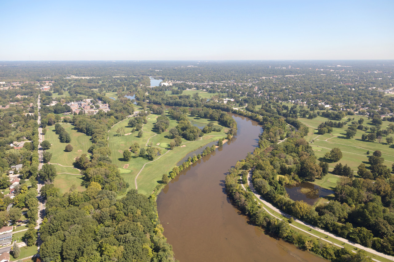
Four-fifths of Indiana is drained by the Wabash River, which flows westward across the north-central region and turns southward to empty into the Ohio River. In the southwest is the most important tributary river of the Wabash—the White river, formed by the confluence of its East and West Forks. The west portion of the State is mostly prairie lands, interspersed with lakes, woodlands, and swamps. The hills of the river valleys inclose richly wooded valleys.
South
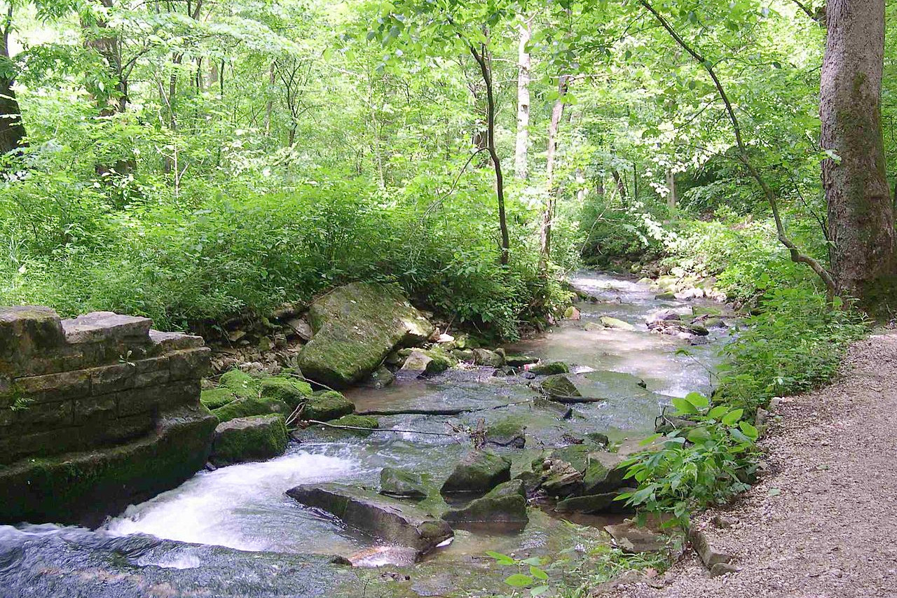
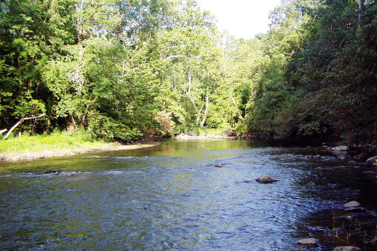
In the south is a chain of picturesque and rocky hills, some of which rise to a height of 500 feet (150 m). This southern border of hills, or Indiana Uplands, are the most rugged or broken portion of the State. These hills extend north-to-south for up to fifty miles down to the Ohio River. These hills often of a rugged and broken aspect interspersed by fertile valleys.
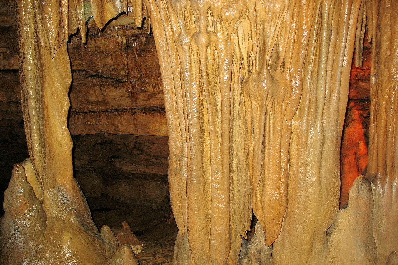
In the limestone hills of the Indiana Uplands there are numerous caves, the most notable being the two large caves at Wyandotte and Marengo in Crawford County, some of the largest caves in the United States.
What is the nature of Indiana like?
_greene_co,_indiana_-07_(28646491578).jpeg)
_greene_co,_indiana_-07_(28646491578).jpg&oldid=476635073)
More than four-fifths of Indiana was originally dense forest, interspersed with open stretches of prairie. Today around one-fifth of the State remains forested. There are over one hundred native tree species, including 17 varieties of oak, as well as black walnut, sycamore, and tulip tree (or yellow poplar, the state tree). Local indigenous species are the persimmon, black gum, and southern cypress along the Ohio River; tamarack and bog willow in the northern marshes; and white pine, sassafras, and pawpaw near Lake Michigan.
Among the native fruits are the persimmon, goose plum and the fox grape. American elderberry and bittersweet are common shrubs, while various jack-in-the-pulpits and spring beauties are among the indigenous wild flowers. The peony is the state flower.
What is the climate of Indiana like?
Indiana has a continental climate, but a fairly moderate one. The temperature can dip below 0°F (–18°C) during the winter when cold winds blow down from the Great Lakes region, but otherwise the average temperatures in January range between 17°F (–8°C) and 36°F (2°C). Summers are warm to hot, with average July temperatures varying from 63°F (17°C) to 88°F (31°C). Rainfall is distributed fairly evenly throughout the year, although droughts can occur in the south.
| Climate data for Indianapolis (1991–2020) | |||||||||||||
|---|---|---|---|---|---|---|---|---|---|---|---|---|---|
| Month | Jan | Feb | Mar | Apr | May | Jun | Jul | Aug | Sep | Oct | Nov | Dec | Year |
| Average high °F (°C) | 36.1 (2.3) | 40.8 (4.9) | 51.9 (11.1) | 63.9 (17.7) | 73.4 (23.0) | 82.0 (27.8) | 85.2 (29.6) | 84.3 (29.1) | 78.2 (25.7) | 65.6 (18.7) | 51.8 (11.0) | 40.4 (4.7) | 62.8 (17.1) |
| Daily mean °F (°C) | 28.5 (−1.9) | 32.5 (0.3) | 42.4 (5.8) | 53.6 (12.0) | 63.6 (17.6) | 72.5 (22.5) | 75.8 (24.3) | 74.7 (23.7) | 67.8 (19.9) | 55.5 (13.1) | 43.3 (6.3) | 33.3 (0.7) | 53.6 (12.0) |
| Average low °F (°C) | 20.9 (−6.2) | 24.2 (−4.3) | 33.0 (0.6) | 43.3 (6.3) | 53.7 (12.1) | 62.9 (17.2) | 66.4 (19.1) | 65.0 (18.3) | 57.4 (14.1) | 45.5 (7.5) | 34.9 (1.6) | 26.2 (−3.2) | 44.4 (6.9) |
| Average precipitation inches (mm) | 3.12 (79) | 2.43 (62) | 3.69 (94) | 4.34 (110) | 4.75 (121) | 4.95 (126) | 4.42 (112) | 3.20 (81) | 3.14 (80) | 3.22 (82) | 3.45 (88) | 2.92 (74) | 43.63 (1,108) |
| Average snowfall inches (cm) | 8.8 (22) | 6.0 (15) | 3.2 (8.1) | 0.2 (0.51) | 0.0 (0.0) | 0.0 (0.0) | 0.0 (0.0) | 0.0 (0.0) | 0.0 (0.0) | 0.1 (0.25) | 0.8 (2.0) | 6.4 (16) | 25.5 (65) |
| Source: NOAA | |||||||||||||
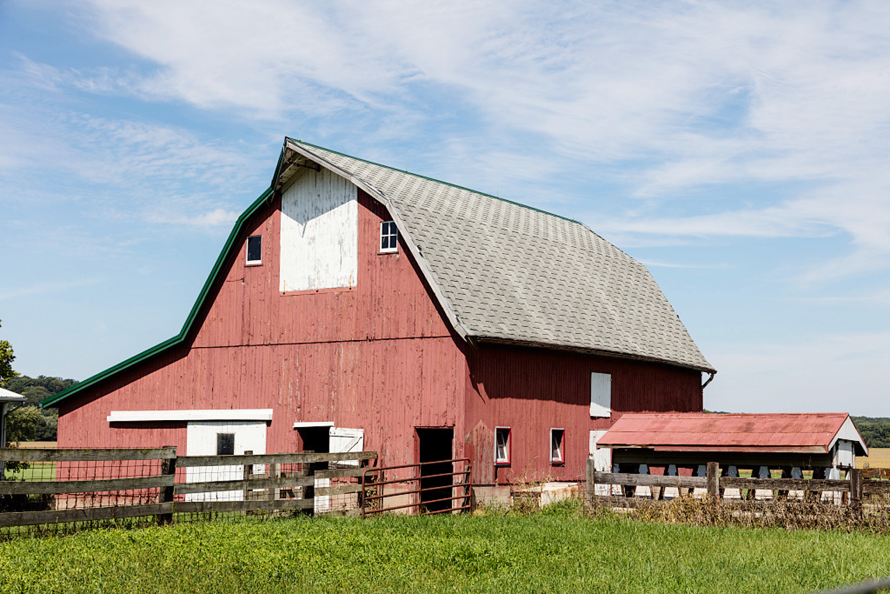
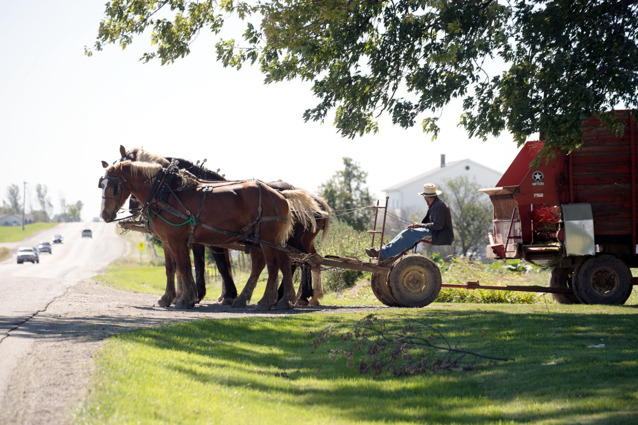 An Amish farmer watches passing traffic in LaGrange County
The official websites
Indiana
The Hoosier State
| Location: | Eastern north-central United States |
| Coordinates: | 40° 00′ N, 86° 15′ W |
| Size: | • 435 km N-S; 225 km E-W • 270 miles N-S; 140 miles E-W |
| Terrain: | Rolling land in the northern half of the state, and rugged hills in the south |
| Climate: | Continental climate: cold winters; hot summers; moderate rainfall throughout the year |
| Highest point: | Hoosier Hill 383 m / 1,257 ft |
| Forest: | 21% (2016) (source) |
| Population: | 6,732,219 (2019) |
| Population density: | Low (71/km²) |
| Capital: | Indianapolis |
| Languages: | English |
| Human Development Index: | Very High (0.912) |