.jpg)
.jpg)
.jpg)
The Geography of
Ohio
Why visit Ohio?
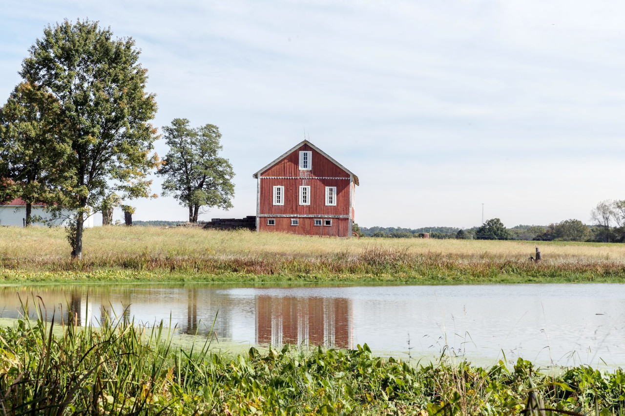
Ohio has landscapes that are both picturesque and rugged. From the east to the west, the state has a variety of landscapes, ranging from heavily forested areas to the rolling hills of the Midwest to the beautiful coastline of Lake Erie. Noteworthy is Serpent Mound, an embankment 405 m/1,330 ft long, built by the Adena culture over 2,000 years ago.
Map
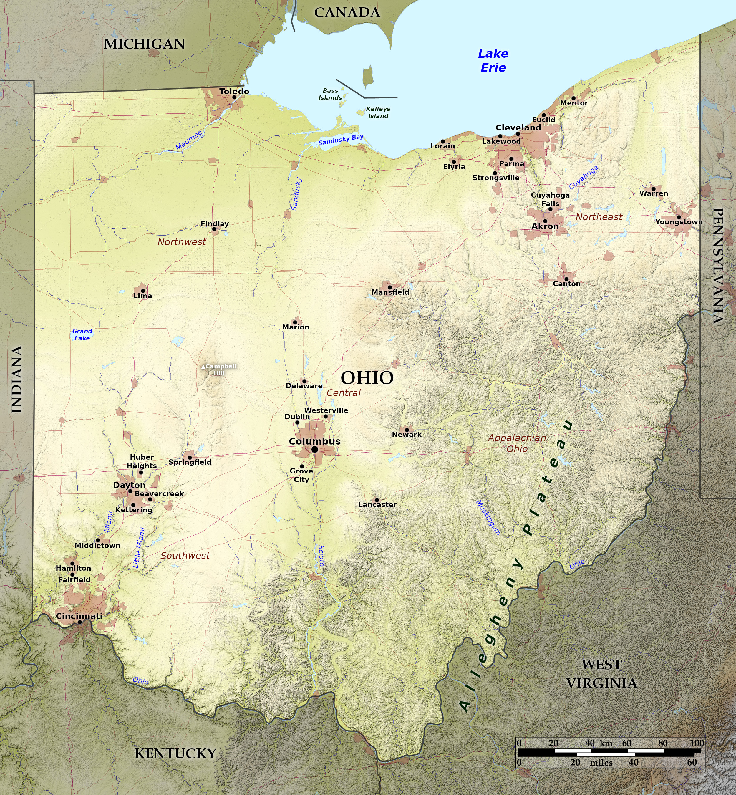 Relief map of Ohio
What is the landscape of Ohio like?
Ohio lies on the boundary between the Prairie Plains in the west and the Alleghany Plateau in the east.
West
Western Ohio is a rolling plain, in places nearly level, though in the central portion it rises to low hills where Campbell Hill is, at 1,549 feet (472 m), the highest point in the State. The surface consists of "till", or boulder clay, which has filled the valleys of ancient river courses, and in many cases have obliterated all traces of their existence. To the north, the rivers of Ohio flow into Lake Erie which forms the northern border for a distance of 230 miles. In the south, the Ohio river flows for 436 miles through a narrow valley on the southern border of the State.
East
.jpg&oldid=620402831)
.jpg&oldid=615551410)
.jpg&oldid=620337876)
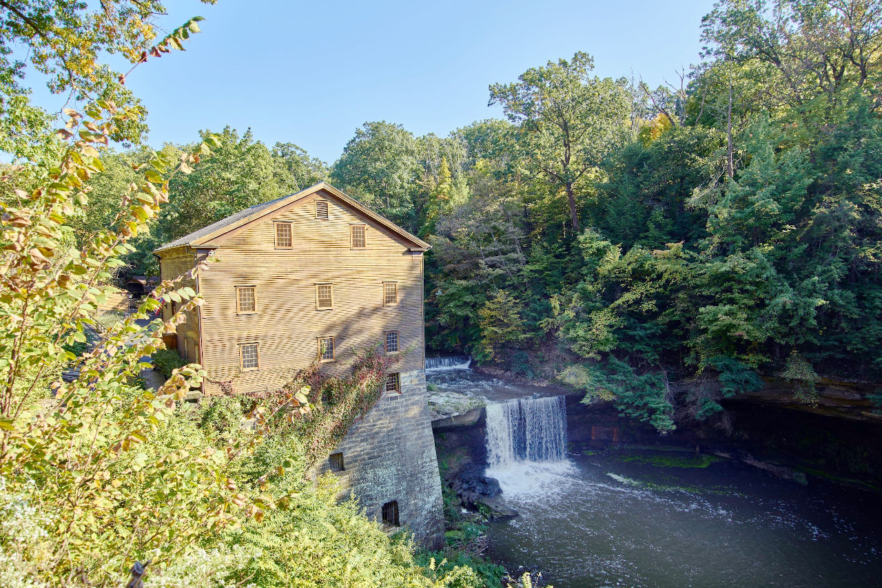
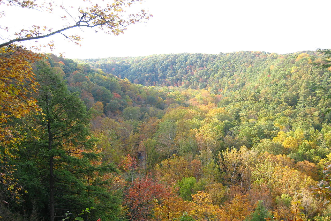
Eastern Ohio is hilly, and here and there the scenery is extremely beautiful. Nearly all of the rivers in the northeast part of the State have a rapid current. Those that flow directly into the lake are short, but some of the rivers of this region, such as the Cuyahoga and the Grand, are turned by hill ridges into circuitous courses and flow through narrow valleys with numerous falls and rapids.
What is the nature of Ohio like?
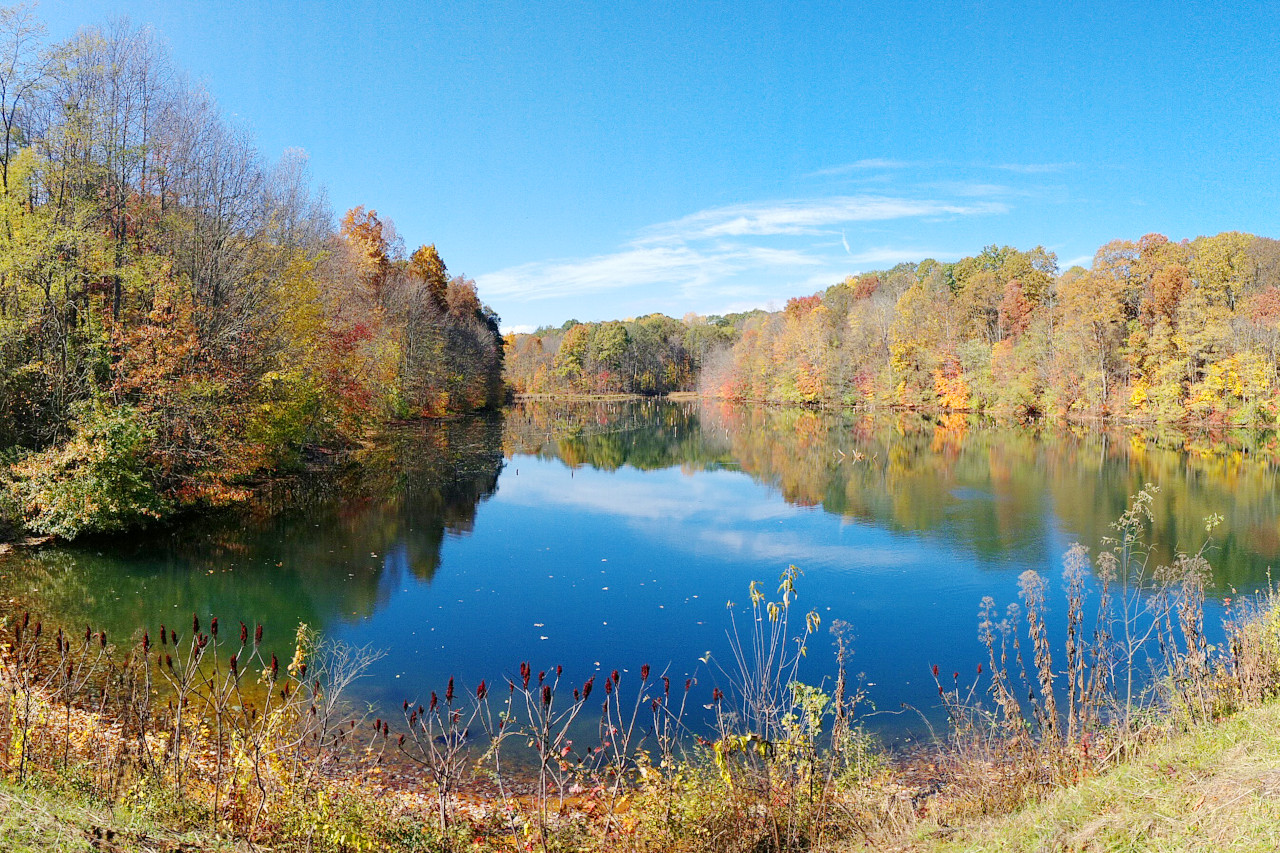
Ohio is known as the "Buckeye State" on account of the prevalence of the buckeye (Aesculus glabra)—a species of tree in the soapberry family. The State was originally covered with a dense hardwood forests. In the western half of Ohio only a small part of the forest remains in isolated areas and pasture woodlots. Ohio is primarily an agricultural State, and this level and rolling land is now dominated by farming.
The forests of the hill country further east though have more largely escaped the ax, and much of the land is forested. Thus there are still a great variety of trees: the white oak is the common, but there are many other varieties of oak, as well as hickory, ash, poplar, pine, birch, locust and cherry. Beech, black walnut, butternut, chestnut, catalpa, hemlock and tamarack trees are also common. Common wild flowers include buttercups, violets, anemones, spring beauties, trilliums, arbutus, orchids, columbine, laurel, honeysuckle, golden rod and asters, and there are many varieties of ferns.
What is the climate of Ohio like?
Ohio experiences a continental climate, and one which is highly variable and subject to sudden changes of temperature especially in winter. Summers are hot and winters cold, but extreme heat or cold is never very prolonged on account of the variable winds. The southern half of Ohio is the warmer, the heat of the northern portion being tempered by the presence of Lake Erie. In the north the winters are more severe, though seldom very harsh in any part of the State. The rainfall is very evenly distributed through the year.
| Climate data for Columbus, Ohio (1991–2020) | |||||||||||||
|---|---|---|---|---|---|---|---|---|---|---|---|---|---|
| Month | Jan | Feb | Mar | Apr | May | Jun | Jul | Aug | Sep | Oct | Nov | Dec | Year |
| Average high °F (°C) | 37.1 (2.8) | 40.8 (4.9) | 51.1 (10.6) | 64.1 (17.8) | 74.1 (23.4) | 82.2 (27.9) | 85.4 (29.7) | 84.1 (28.9) | 77.8 (25.4) | 65.5 (18.6) | 52.3 (11.3) | 41.5 (5.3) | 63.0 (17.2) |
| Daily mean °F (°C) | 29.6 (−1.3) | 32.5 (0.3) | 41.6 (5.3) | 53.2 (11.8) | 63.3 (17.4) | 71.9 (22.2) | 75.4 (24.1) | 74.0 (23.3) | 67.2 (19.6) | 55.2 (12.9) | 43.6 (6.4) | 34.5 (1.4) | 53.5 (11.9) |
| Average low °F (°C) | 22.0 (−5.6) | 24.2 (−4.3) | 32.0 (0.0) | 42.2 (5.7) | 52.4 (11.3) | 61.6 (16.4) | 65.4 (18.6) | 63.9 (17.7) | 56.5 (13.6) | 44.8 (7.1) | 35.0 (1.7) | 27.4 (−2.6) | 43.9 (6.6) |
| Average precipitation inches (mm) | 3.00 (76) | 2.41 (61) | 3.62 (92) | 3.85 (98) | 3.99 (101) | 4.33 (110) | 4.67 (119) | 3.74 (95) | 3.14 (80) | 2.90 (74) | 2.79 (71) | 3.13 (80) | 41.57 (1,056) |
| Average snowfall inches (cm) | 9.5 (24) | 7.6 (19) | 4.1 (10) | 0.5 (1.3) | 0.0 (0.0) | 0.0 (0.0) | 0.0 (0.0) | 0.0 (0.0) | 0.0 (0.0) | 0.2 (0.51) | 1.2 (3.0) | 5.1 (13) | 28.2 (72) |
| Source: NOAA | |||||||||||||
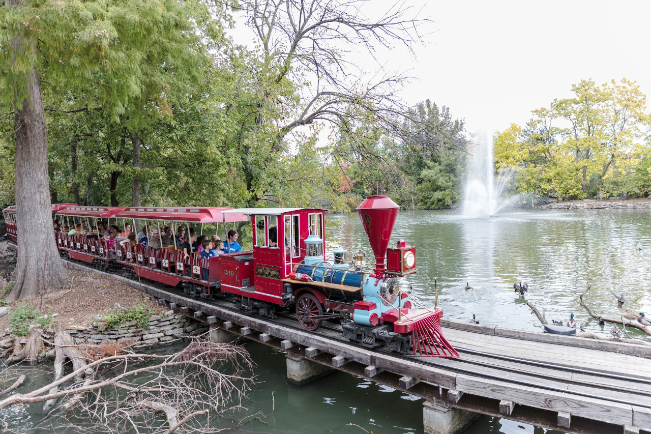 A miniature train rolls through the Cincinnati Zoo and Botanical Garden
The official websites
Ohio
The Buckeye State
| Location: | Eastern north-central United States |
| Coordinates: | 40° 30′ N, 82° 30′ W |
| Size: | • 370 km N-S; 340 km E-W • 230 miles N-S; 210 miles E-W |
| Terrain: | Hills in the eastern half; central plains in the western half. Lake Erie on the northern boundary |
| Climate: | Humid, continental climate. Summers are warm and mild; winters are cold with snow |
| Highest point: | Campbell Hill 195 m / 639 ft |
| Forest: | 31% (2016) (source) |
| Population: | 11,799,448 (2020) |
| Population density: | Medium (109/km²) |
| Capital: | Columbus |
| Languages: | English |
| Human Development Index: | Very High (0.919) |