.jpeg)
_one-lane_bridge_across_a_mountain_creek_in_woods_near_Manchester,_Kentucky_2020722334_63994v.jpg)
The Geography of
Kentucky
Why visit Kentucky?
Kentucky is home to many natural attractions, including the Mammoth Cave National Park and the Bluegrass region home to the Kentucky bluegrass, with its velvety texture and its strong color. The landscape varies from mountain heights along its eastern border, to forested plateaus interesected with rivers, and then to the graceful grasslands of the undulating lowlands.
Contents
Map
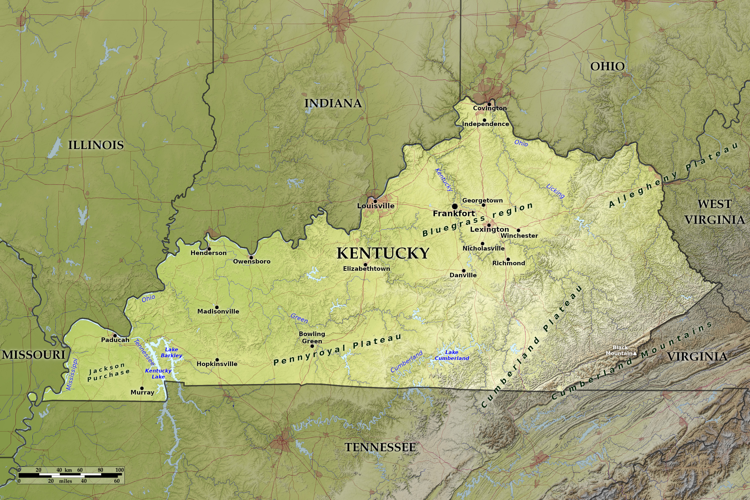 Relief map of Kentucky
What is the landscape of Kentucky like?
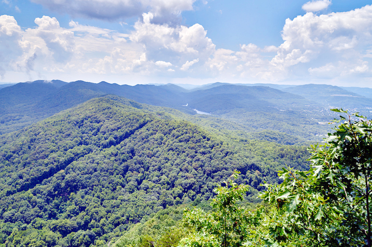
East: The mountains
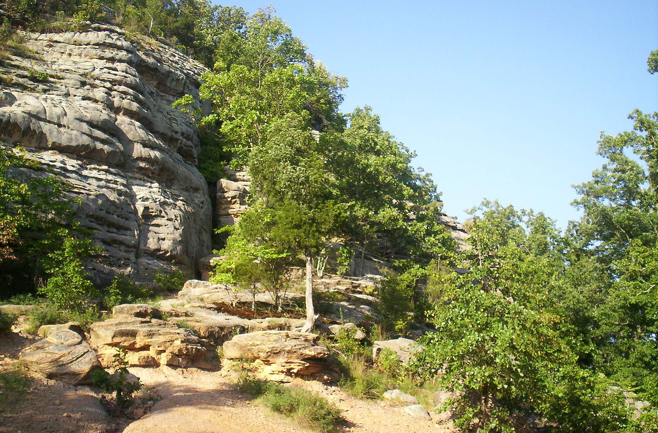
The eastern quarter of Kentucky is dominated by the hills of the Allegheny Plateau and Cumberland Plateau. These hills, commonly known as the "mountains," are very rugged with sharp ridges alternating with narrow valleys which have steep sides, but are seldom more than 1500 feet (450 m) above sea-level.
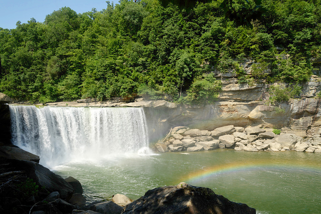
However in the southeast the hills rise to the Cumberland Mountains. This narrow mountain belt is part of the western edge of the Appalachian Mountains which consist of parallel ridges of folded mountains. The mountain crests in the Cumberland Mountains are 2,000 to 3,000 feet (600–900 m) high, and the highest point in Kentucky is Black Mountain on the southeastern border, at 4,139 feet (2,162 m). The mountain peaks here often have a greater beauty than in any other part of the Appalachian system. The Cumberland Falls, 92 ft (28 m) high and 100 ft (30 m) wide, are located in the south of this region.
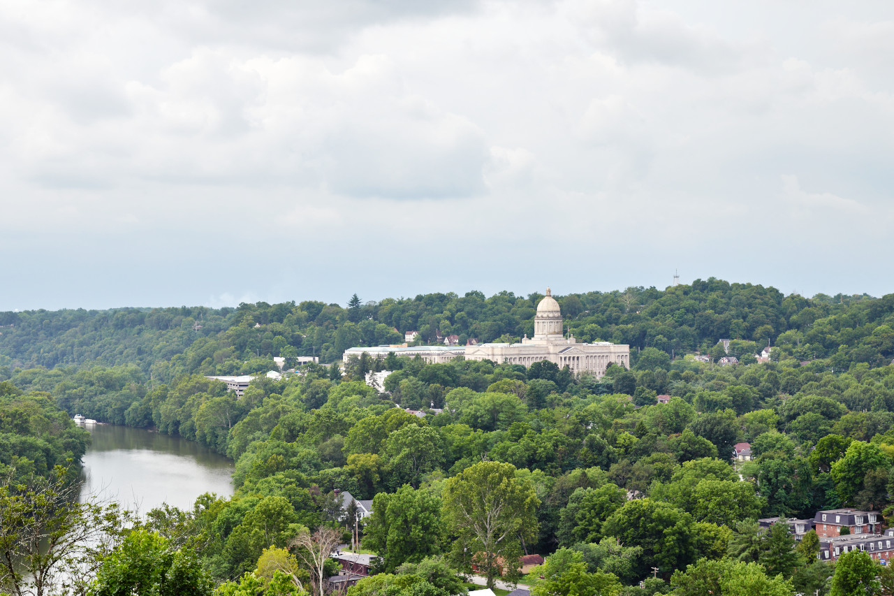
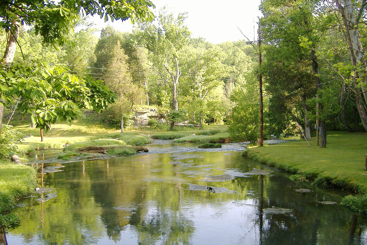
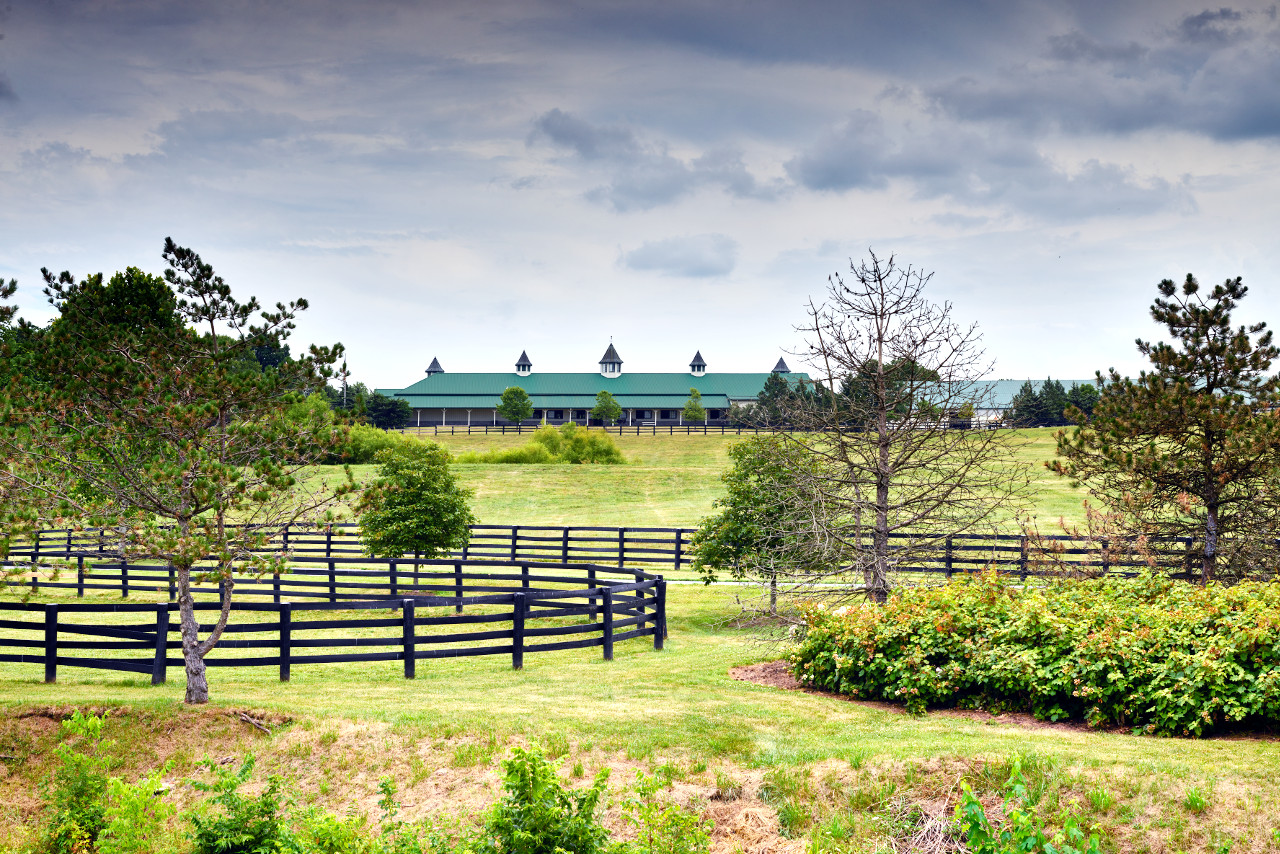
North: The Bluegrass Region
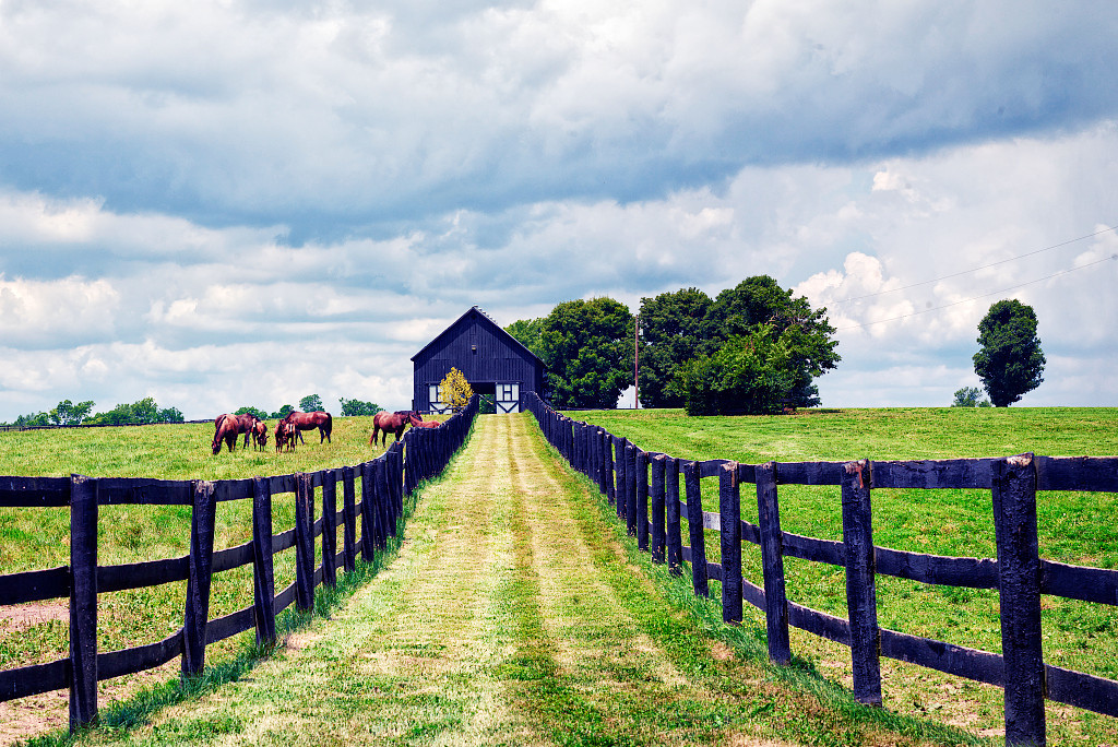
The northern portion of Kentucky is a semicircular lowland basin, known as the Bluegrass Region; it is bounded to the north by the Ohio river. Here erosion has developed on limestone a gracefully undulating surface. The Bluegrass Region is like a beautiful park, without ragged cliffs, steep slopes, or flat marshy bottoms, but marked by rounded hills and dales.
Especially near Lexington, the country is clothed with an unusually rich vegetation. During spring, autumn, and winter in particular, the blue grass (Poa pratensis and Poa compressa) spreads a mat, green, thick, fine and soft, over much of the country, and it is a good winter pasture. This grass derives its name from the seed heads which bloom about the middle of June.
South: The Pennyroyal Plateau
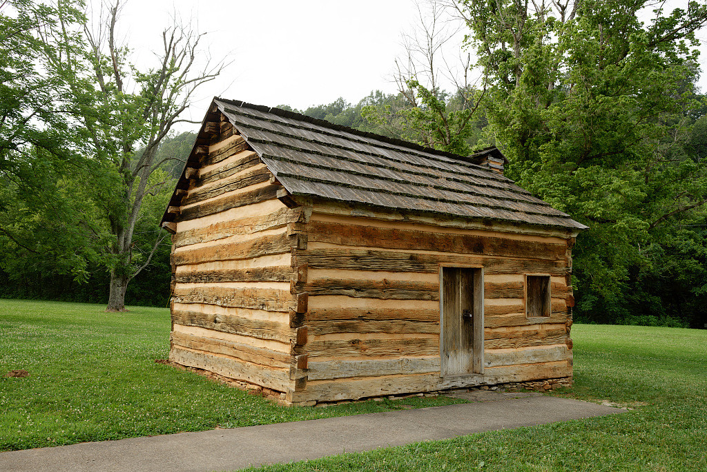
"A replica of the small cabin where Abraham Lincoln lived as a child outside the town of Hodgenville" by Carol M. Highsmith
Much of the central and southern region of Kentucky is dominated by the hilly Pennyroyal Plateau. This is part Highland Rim Plateau which extends into Tennessee, and encompasses half of Kentucky. It is generally much less rugged than eastern Kentucky, but portions of this plateau are marked by cone-shaped hills rising to as height of about 1,000 or 1,200 feet (300–370 m).
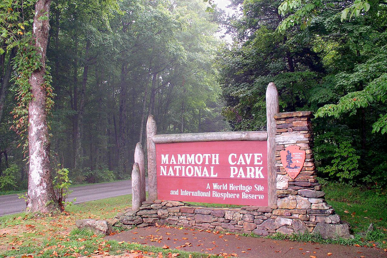
A special feature of the southern portion are the numerous circular depressions (sink holes) in the surface and the caves beneath. Kentucky is noted for its caves, the best-known of which is Mammoth Cave, the longest cave system in the world, and now a national park. The caves are cut in the beds of limestone by streams that pass beneath the surface in the "sink holes," and form four hundred miles of underground passages.
West: The lowlands
.jpeg)
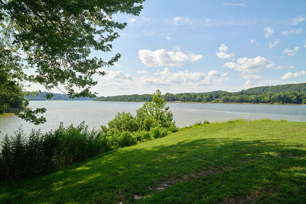
The west of Kentucky is the lowest and most level area of the state. It consists of the Kentucky coalfields bounded by the Ohio River to the north. In the far west another lowland area, commonly known as the Jackson Purchase, embraces that small part of the state which lies west of the Tennessee river; this belongs to the Coastal Plain Region which extends north along the Mississippi river.
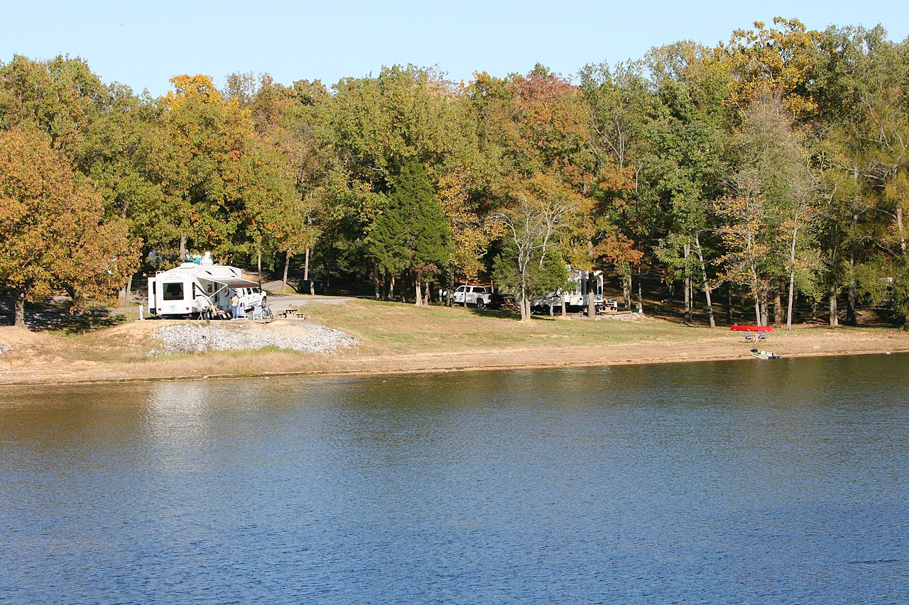
In the south are two huge artificial lakes: Kentucky Lake and Lake Barkley, which straddle the border with Tennessee. The peninsula between the lakes is one of the country’s largest outdoor recreation areas known as The Land Between the Lakes.
What is the nature of Kentucky like?
.jpeg)
.jpeg&oldid=621740860)
.jpg&oldid=494014012)
.JPG&oldid=515429657)
Around half of Kentucky is woodland, and large forest areas still remain both in the east and the west. In the east oak, maple, beech, chestnut, elm, tulip-tree, walnut, pine and cedar trees are common; in the west the forests are of cypress, ash, oak, hickory, chestnut, walnut, beech, tulip-tree, gum and sycamore trees. The distinctive “knees” of the cypress can be seen along riverbanks. Locust, pawpaw, cucumber, buck-eye, black mulberry and wild cherry trees also abound.
In the middle northern parts, where the forest has been cleared the 'blue grass' is the dominant feature. the 'blue' color is said to due to the hue of its seed vessels which bloom around June, giving the landscape a bluish hue. In actuality you may well only see blueness when dwarf iris and wild columbine are in bloom in May. The other notable feature of Kentucky are its rivers—including the Ohio and Mississippi rivers on its borders and the tributaries of the Ohio River, Kentucky claims to have more water than any other state except Alaska.
What is the climate of Kentucky like?
Kentucky has a moderate climate—warm summers and cool winters, with abundant rainfall. Extremes of cold and heat are infrequent and of short duration. In January, statewide temperatures average around 36°F (2°C) and temperatures rarely drop below 0°F (-18°C). July temperatures around the state warm up to around 76°F (24°C) and only rarely does the thermometer reach as high as 100°F (38°C). The southern and lowland regions are slightly warmer than the uplands.
Rain falls abundantly in winter and spring, but is sometimes scanty in summer and autumn, the weather in those seasons being characteristically dry and constant. There is little snow in winter, and the coldest weather is accompanied by northwesterly winds.
| Climate data for Frankfort, Kentucky (1981–2010) | |||||||||||||
|---|---|---|---|---|---|---|---|---|---|---|---|---|---|
| Month | Jan | Feb | Mar | Apr | May | Jun | Jul | Aug | Sep | Oct | Nov | Dec | Year |
| Average high °F (°C) | 41.5 (5.3) | 46.0 (7.8) | 55.8 (13.2) | 66.5 (19.2) | 75.2 (24.0) | 83.6 (28.7) | 87.3 (30.7) | 86.7 (30.4) | 80.4 (26.9) | 69.5 (20.8) | 57.3 (14.1) | 45.0 (7.2) | 66.2 (19.0) |
| Daily mean °F (°C) | 31.7 (−0.2) | 35.3 (1.8) | 43.5 (6.4) | 53.5 (11.9) | 62.7 (17.1) | 71.5 (21.9) | 75.5 (24.2) | 74.6 (23.7) | 67.5 (19.7) | 56.2 (13.4) | 45.6 (7.6) | 35.4 (1.9) | 54.4 (12.4) |
| Average low °F (°C) | 21.9 (−5.6) | 24.7 (−4.1) | 31.2 (−0.4) | 40.5 (4.7) | 50.1 (10.1) | 59.5 (15.3) | 63.8 (17.7) | 62.5 (16.9) | 54.6 (12.6) | 43.0 (6.1) | 34.0 (1.1) | 25.9 (−3.4) | 42.6 (5.9) |
| Average precipitation inches (mm) | 3.70 (94) | 3.07 (78) | 4.39 (112) | 3.74 (95) | 4.01 (102) | 4.06 (103) | 4.14 (105) | 3.45 (88) | 2.90 (74) | 2.53 (64) | 3.29 (84) | 3.49 (89) | 42.77 (1,086) |
| Average snowfall inches (cm) | 3.4 (8.6) | 2.8 (7.1) | 1.2 (3.0) | 0.0 (0.0) | 0.0 (0.0) | 0.0 (0.0) | 0.0 (0.0) | 0.0 (0.0) | 0.0 (0.0) | 0.0 (0.0) | 0.4 (1.0) | 1.6 (4.1) | 9.4 (24) |
| Source: NOAA | |||||||||||||
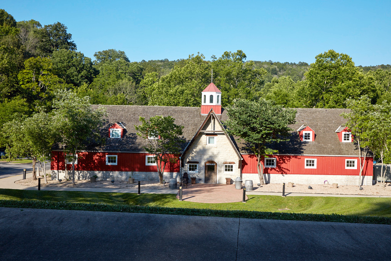 Kentucky Music Hall of Fame and Museum in Mt. Vernon
The official websites
Kentucky
The Bluegrass State
| Location: | Eastern south-central United States |
| Coordinates: | 37° 30′ N, 85° 15′ W |
| Size: | • 300 km N-S; 635 km E-W • 185 miles N-S; 395 miles E-W |
| Terrain: | Hilly plateau rising to the Appalachian mountains in the southeast |
| Climate: | Moderate, relatively humid climate, with abundant rain. |
| Highest point: | Black Mountain 1,265 m / 4,145 ft |
| Forest: | 49% (2016) (source) |
| Population: | 4,467,673 (2019) |
| Population density: | Low (42.5/km²) |
| Capital: | Frankfort |
| Languages: | English |
| Human Development Index: | Very High (0.890) |