The Geography of
West Virginia
Why visit West Virginia?
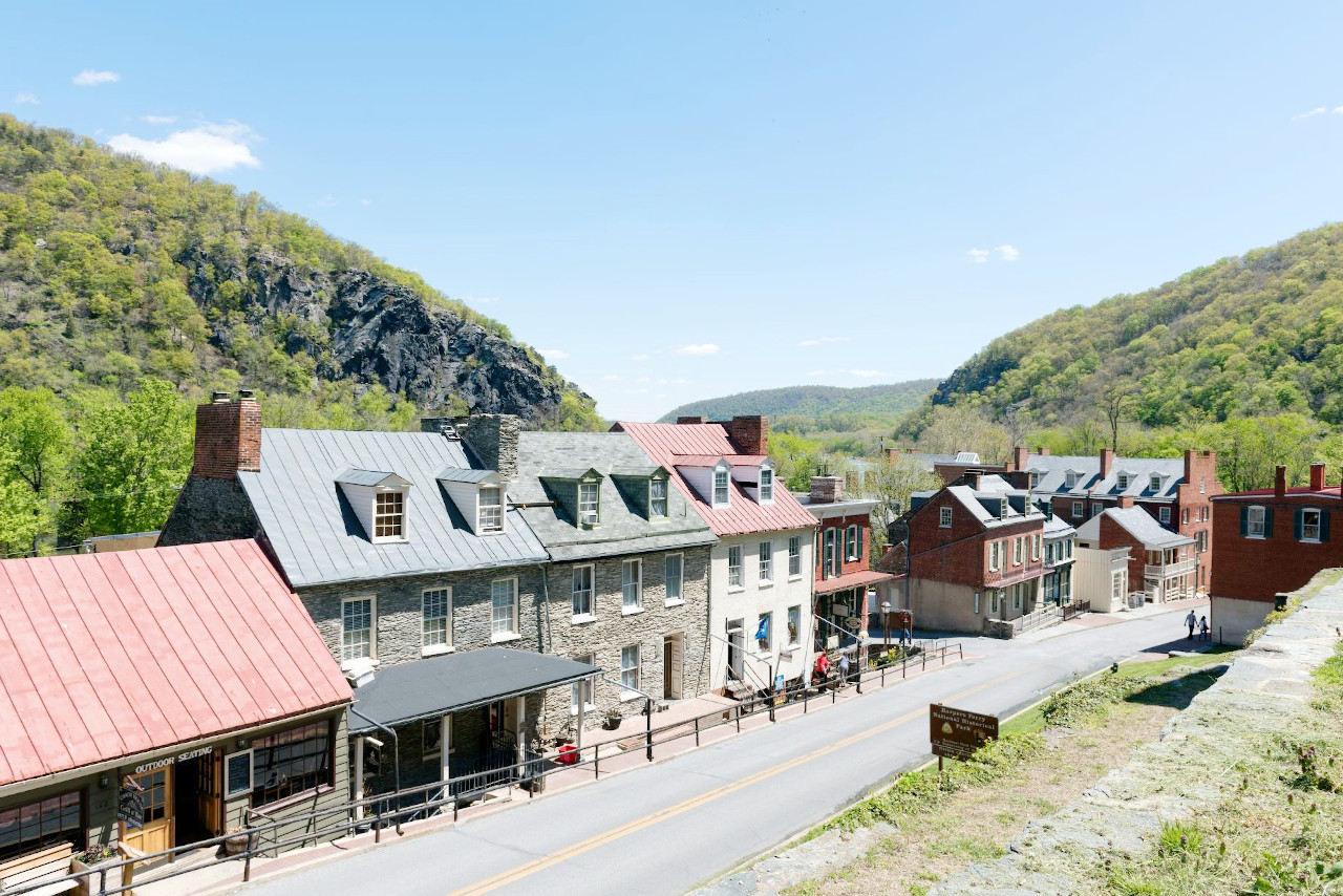
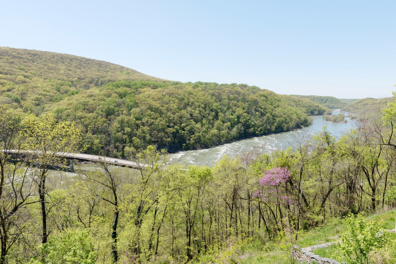
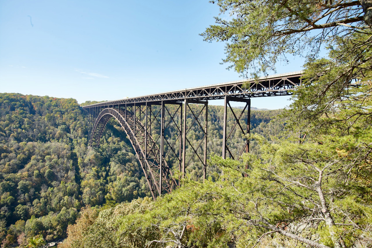
West Virginia is one of the most scenic states in the United States. It is home to many attractions, including the dramatic Allegheny Mountains, the upper reaches of the Potomac River, and the verdant Monongahela River Valley. Also, the port of Harper’s Ferry, restored as when the abolitionist John Brown seized the US armoury 1859. The Mountain State is reknowned for its rugged terrain as well as its many natural attractions that conjure up images of untouched beauty.
Map
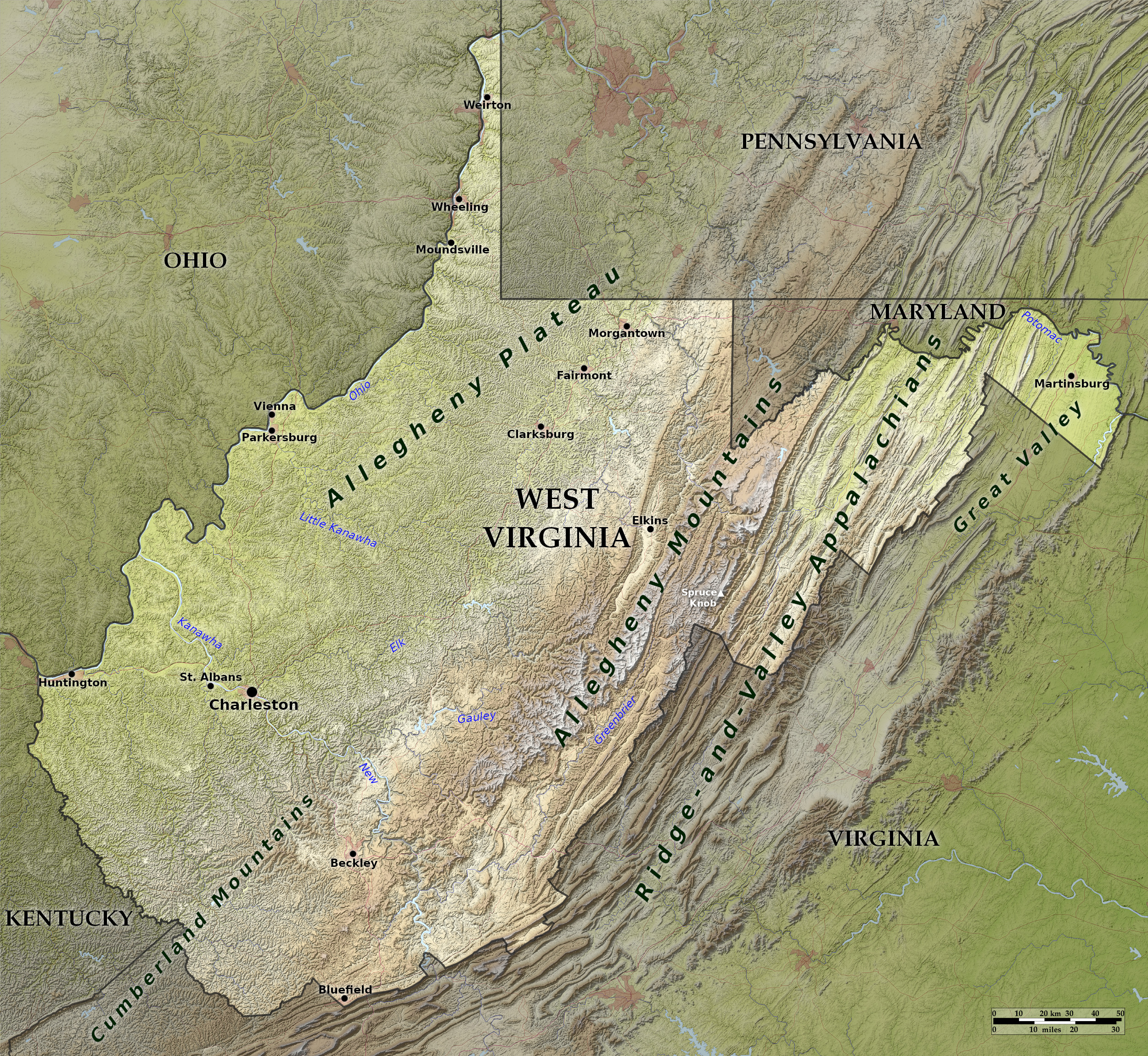 Relief map of West Virginia
What is the landscape of West Virginia like?
West
.JPG)
.JPG&oldid=622046913)
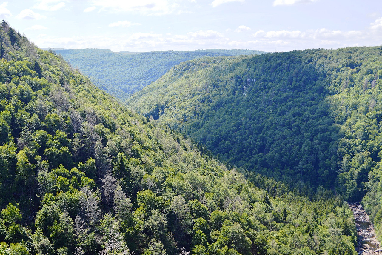
The western two-thirds of the State is part of the Alleghany Plateau. In West Virginia, this is a maze of branching rivers, narrow valleys, and steep-sided hills. Along the Ohio river on the northwest border, these hills rise to a height of 800 to 1,000 feet (240–300 m) above sea-level, while toward the southeast the height increases until 3,500 and 4,000 feet (1,000 and 1,200 m) are reached. The entire plateau area is drained by the Ohio river and its tributaries. Along the flood-plains of the larger rivers there is fertile farmland, and nearer the Ohio River landscape becomes a more gently rolling country, but the ruggedness of the plateau country makes much of West Virginia sparsely populated.
East
The east of the State is dominated by the Alleghany Mountains and by the Ridge and Valley Appalachians. The mountains of the here are chiefly in the form of parallel ridges running southwest to northeast, although the southern parts are irregularly dissected by river valleys, presenting broad domes with spurs running in all directions, and few definite ridges. The height of the valleys is about 2,000 feet (600 m), and the elevation of the ridges is from 3,000 (900 m) to over 4,000 feet (1200 m). The highest point is Spruce Knob, with an altitude of 4,863 feet (1482 m).
What is the nature of West Virginia like?
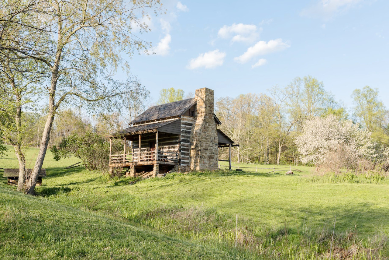
The western half of the State is largely covered by hardwood forests. Among the trees of this area are the white and chestnut oaks, the black walnut, the yellow poplar, and the cherry. In the mountains of the east there is a long belt where spruce and white pine cover the mountain ridges. Other trees common in the West Virginia are the persimmon, sassafras, and, in the Ohio Valley region, the sycamore. Hickory, chestnut, locust, maple, beech, dogwood, and pawpaw. Wild ginger, elder and sumach are common, and in the mountain areas, rhododendrons, mountain laurel and azaleas.
What is the climate of West Virginia like?
West Virginia has a humid continental climate, with hot summers and cool to cold winters, but without any severe extremes of heat or cold. Rain is heaviest in the mountains; and least over the Ohio Valley, the eastern Panhandle, and the extreme southeast, and is fairly evenly distributed throughout the year. Snows are frequent during the winter, and sometimes quite deep in the higher plateau and mountain districts.
| Climate data for Charleston, West Virginia (1991–2020) | |||||||||||||
|---|---|---|---|---|---|---|---|---|---|---|---|---|---|
| Month | Jan | Feb | Mar | Apr | May | Jun | Jul | Aug | Sep | Oct | Nov | Dec | Year |
| Average high °F (°C) | 43.9 (6.6) | 47.8 (8.8) | 56.8 (13.8) | 69.4 (20.8) | 76.2 (24.6) | 83.1 (28.4) | 86.0 (30.0) | 85.2 (29.6) | 79.5 (26.4) | 68.7 (20.4) | 57.3 (14.1) | 47.5 (8.6) | 66.8 (19.3) |
| Daily mean °F (°C) | 35.0 (1.7) | 38.2 (3.4) | 46.0 (7.8) | 56.9 (13.8) | 64.7 (18.2) | 72.3 (22.4) | 75.8 (24.3) | 74.6 (23.7) | 68.3 (20.2) | 57.0 (13.9) | 46.4 (8.0) | 38.7 (3.7) | 56.2 (13.4) |
| Average low °F (°C) | 26.1 (−3.3) | 28.6 (−1.9) | 35.1 (1.7) | 44.5 (6.9) | 53.2 (11.8) | 61.5 (16.4) | 65.5 (18.6) | 64.1 (17.8) | 57.1 (13.9) | 45.3 (7.4) | 35.6 (2.0) | 29.9 (−1.2) | 45.5 (7.5) |
| Average precipitation inches (mm) | 3.27 (83) | 3.36 (85) | 4.14 (105) | 3.56 (90) | 4.93 (125) | 4.72 (120) | 5.38 (137) | 3.75 (95) | 3.46 (88) | 2.91 (74) | 3.20 (81) | 3.56 (90) | 46.24 (1,174) |
| Average snowfall inches (cm) | 10.3 (26) | 7.7 (20) | 5.9 (15) | 0.5 (1.3) | 0.0 (0.0) | 0.0 (0.0) | 0.0 (0.0) | 0.0 (0.0) | 0.0 (0.0) | 0.6 (1.5) | 1.5 (3.8) | 5.0 (13) | 31.5 (80) |
| Source: NOAA | |||||||||||||
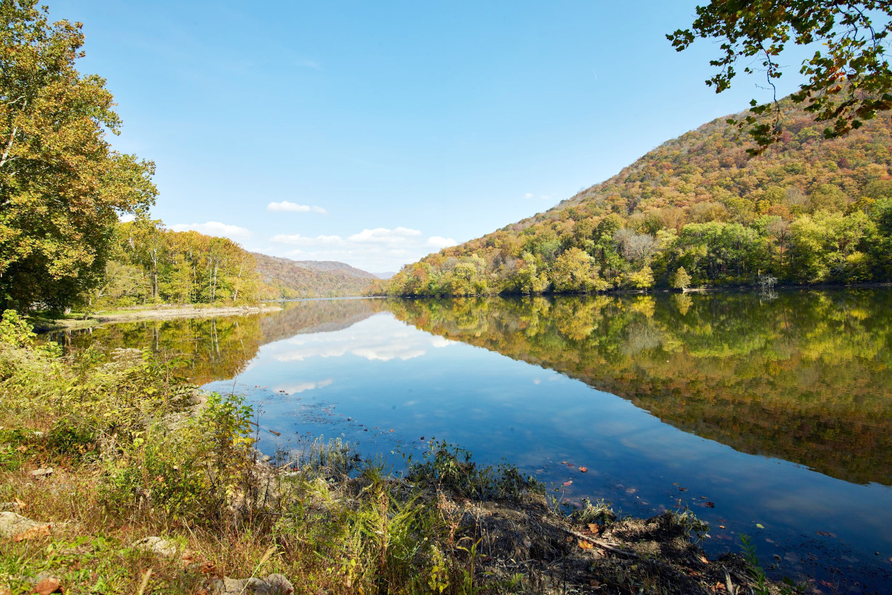
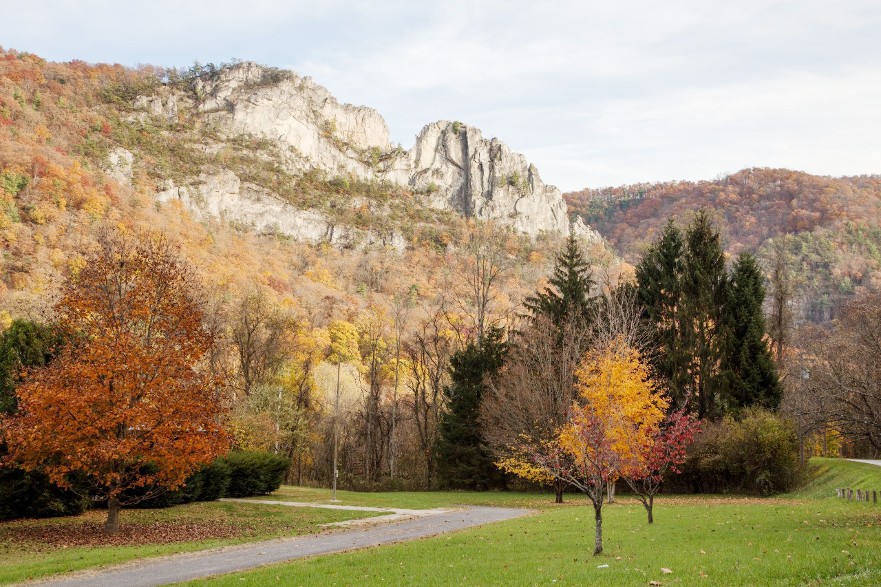
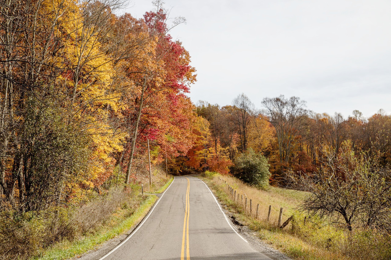 Fall scene in Upshur County
The official websites
West Virginia
The Mountain State
| Location: | Eastern United States |
| Coordinates: | 38° 45′ N, 80° 30′ W |
| Size: | • 380 km N-S; 425 km E-W • 235 miles N-S; 265 miles E-W |
| Terrain: | The east is crossed by the Appalachian and Allegheny Mountains. The west is part of a very hilly plateau |
| Climate: | A humid continental climate, with hot summers and cool to cold winters with snow |
| Highest point: | Spruce Mountain 1,482 m / 4,863 ft |
| Forest: | 79% (2016) (source) |
| Population: | 1,793,716 (2020) |
| Population density: | Low (30/km²) |
| Capital: | Charleston |
| Languages: | English |
| Human Development Index: | Very High (0.882) |