.jpg)
_and_Old_(1792)_Cape_Henry_lighthouses_61021v.jpg)
.jpg)
The Geography of
Virginia
Why visit Virginia?
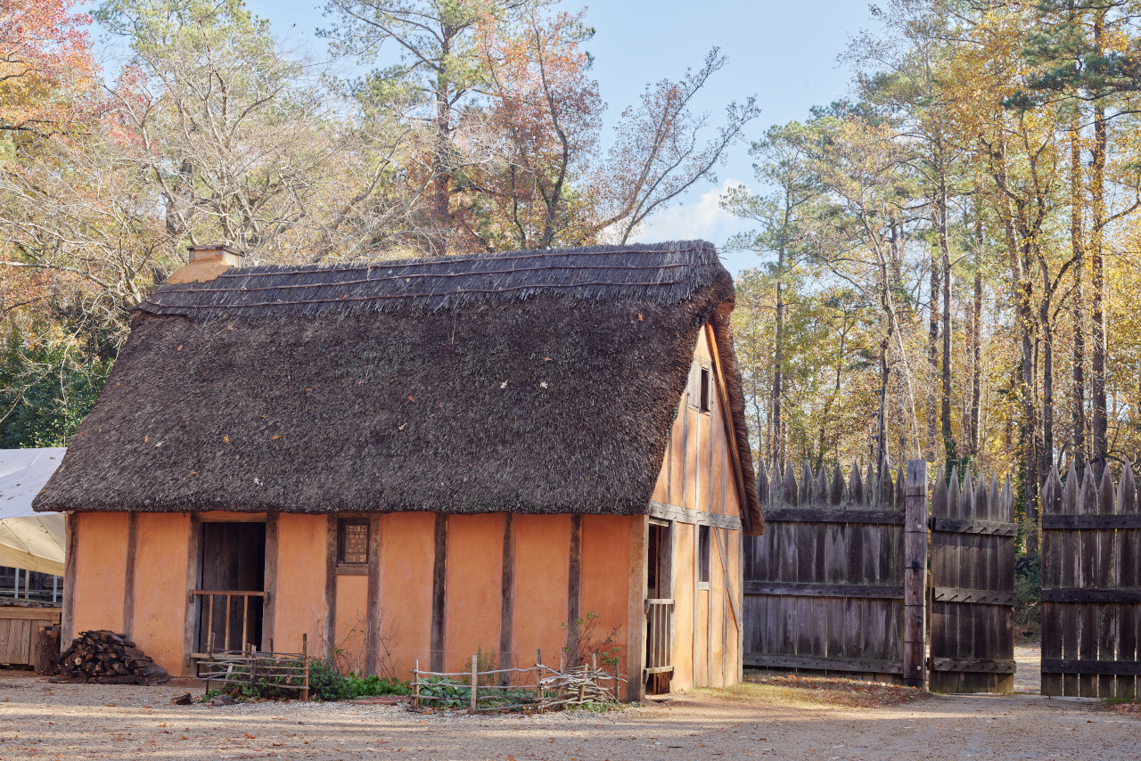
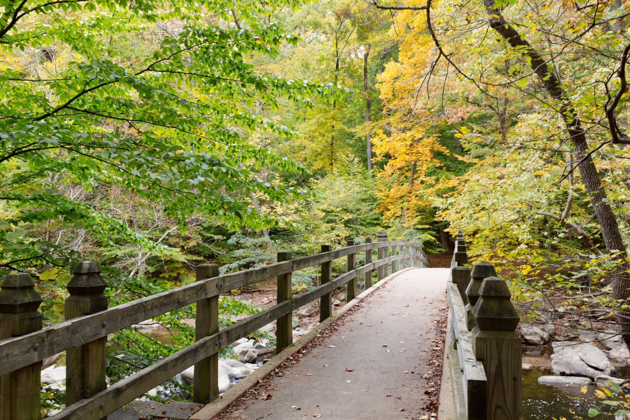
Virginia is a state known for its beautiful landscape, and its interesting history. The landscape ranges from the rolling hills of Central Virginia to the sandy beaches along the Atlantic Coast, and from lush forests in Northern Virginia to picturesque farms in Southwest Virginia. The Appalachian Mountains run through the western part of the state, and the Blue Ridge Mountains are very hilly and the views are beautiful. Mention must be made of Shenandoah National Park, and the Jamestown and Yorktown historic sites.
Map
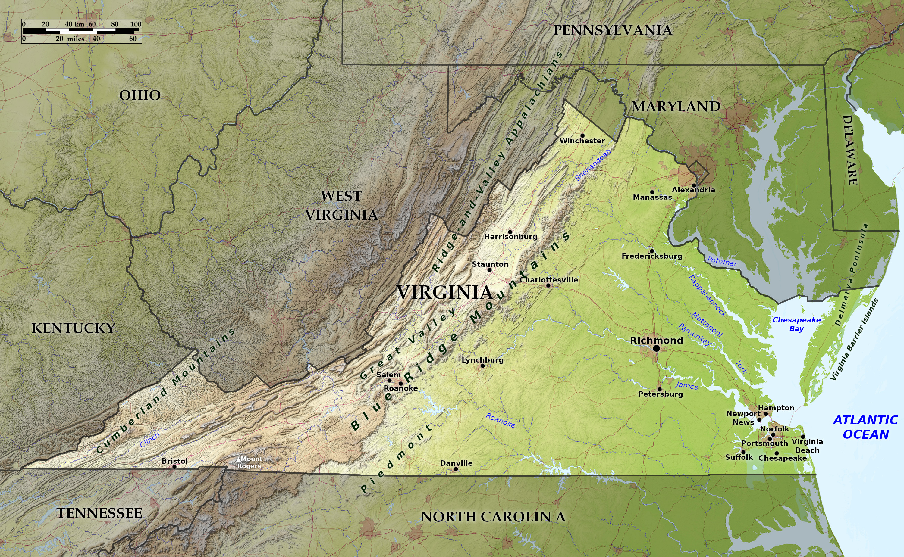 Relief map of Virginia
What is the landscape of Virginia like?
Eastern plains
.jpg)
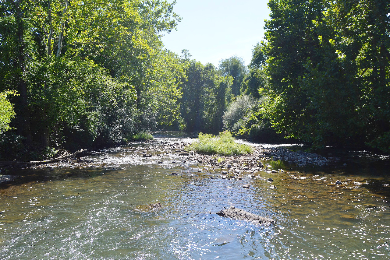
In the east of Virginia are the Coastal Plains, part of the great Coastal Plain bordering the southeast United States from New York all the way to Texas. This region, known as "Tidewater Virginia", is filled with branching bays or drowned river valleys, among which may be noted the lower Potomac, Rappahannock, York and James rivers. Chesapeake Bay itself is the drowned lower course of the Susquehanna river. The land between the rivers is mostly flat, and in the southeast is the so-called "Great Dismal Swamp", in fact a large freshwater marsh. Along the shores of Chesapeake Bay and the Atlantic Ocean are low, sandy beaches, often enclosing lagoons or salt marshes.
Western mountains
.jpg)
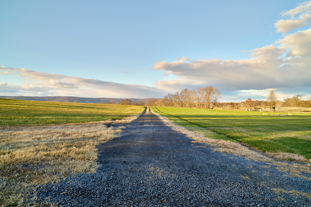
Inland, where the land starts to rise, is the Piedmont region, a part of the extensive Piedmont Belt reaching from Pennsylvania to Alabama. This is a belt of foothills which in Virginia runs along the foot of the Blue Ridge Mountains. The Piedmont is rugged compared with eastern Virginia, having isolated hills and ridges rising 100 to 600 feet (30–180 m) above the general level.
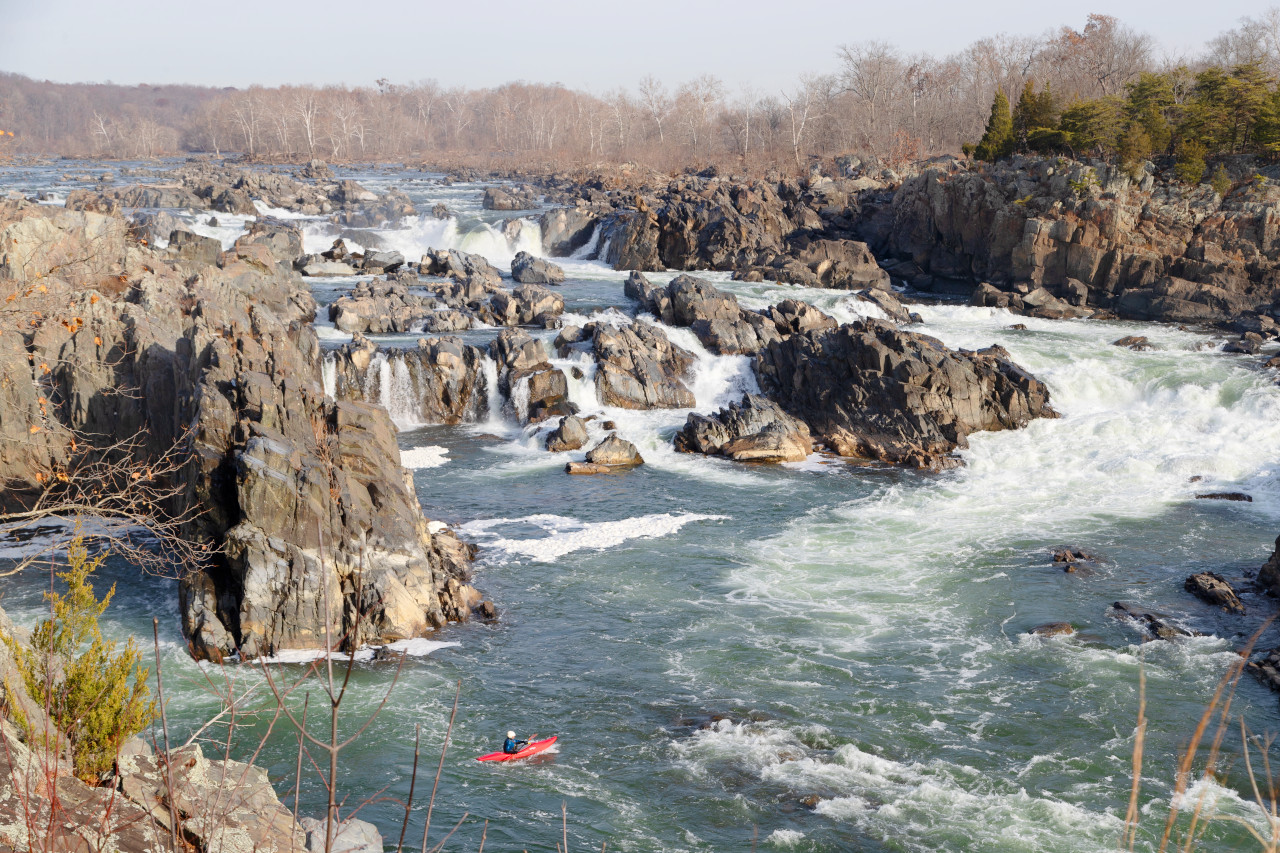
The Blue Ridge Mountains are a mountain belt from 3 to 20 miles in width, narrowing toward the north, where it passes into Maryland, and broadening southward toward its great expansion into North Carolina and Tennessee, where it becomes massive mountain groups. The Ridge is broken in places, notably by the Potomac River on the northern State boundary and by the James River further south. In height the Blue Ridge of Virginia varies from 1,460 feet (445 m) at Harper's Ferry, where the Potomac breaks through it in a splendid water-gap, to 5,730 feet (1,750 m) at Mount Rogers, the highest point in the State.
West of the Blue Ridge is the magnificent Great Valley about 20 miles wide, with its floor about 1200 feet (365 m) above sea-level. It is part of the Ridge-and-Valley Appallachians. Here, the belts of softer rock have eroded, leaving long valleys separated by hard rock ridges.
What is the nature of Virginia like?
.JPG)
.jpg&oldid=598406832)
.jpg&oldid=610337692)
.jpg&oldid=632167713)
.jpg&oldid=694910615)
.JPG&oldid=670771107)
The Coastal Plain of Virginia is covered with pine forests which merge westward with the hardwoods of the Piedmont Belt, where oaks are mixed with pines. The Blue Ridge Mountains are covered with pine, hemlock, white oak, cherry and yellow poplar; while the southwest part of Virginia contains forests of hickory and walnut, besides oak and cherry. On the Coastal Plain the cypress grows in the 'Dismal Swamp', river birch along the rivers, and sweet gum and black gum in swampy woods. Other common plants of the Coastal Plain are the cranberry, wild rice, wild yam, wax myrtle, wistaria, trumpet flower, passion flower, holly and white alder. Many of these species spread into the Piedmont Region. Rhododendron, mountain laurel and azaleas are common in the mountains.
What is the climate of Virginia like?
The climate of Virginia is a mild, coastal one, and generally free from extremes of heat and cold. In the Coastal region the summers are warm, and the winters cool, and the temperature is quite stable from day to day. Frosts do not occur before the middle of October, nor later than the last part of April. Inland temperatures are naturally less stable, and in autumn and winter sudden temperature changes are sometimes experienced. West of the Blue Ridge the summers are cool and very pleasant, while the winters, especially on the mountains, are cold.
| Climate data for Richmond, Virginia (1991–2020) | |||||||||||||
|---|---|---|---|---|---|---|---|---|---|---|---|---|---|
| Month | Jan | Feb | Mar | Apr | May | Jun | Jul | Aug | Sep | Oct | Nov | Dec | Year |
| Average high °F (°C) | 47.8 (8.8) | 51.6 (10.9) | 59.6 (15.3) | 70.4 (21.3) | 77.8 (25.4) | 85.6 (29.8) | 89.5 (31.9) | 87.5 (30.8) | 81.2 (27.3) | 70.9 (21.6) | 60.4 (15.8) | 51.5 (10.8) | 69.5 (20.8) |
| Daily mean °F (°C) | 38.3 (3.5) | 41.0 (5.0) | 48.4 (9.1) | 58.4 (14.7) | 66.7 (19.3) | 75.0 (23.9) | 79.4 (26.3) | 77.5 (25.3) | 71.2 (21.8) | 60.0 (15.6) | 49.6 (9.8) | 41.8 (5.4) | 58.9 (14.9) |
| Average low °F (°C) | 28.8 (−1.8) | 30.4 (−0.9) | 37.2 (2.9) | 46.4 (8.0) | 55.7 (13.2) | 64.5 (18.1) | 69.2 (20.7) | 67.6 (19.8) | 61.1 (16.2) | 49.0 (9.4) | 38.8 (3.8) | 32.1 (0.1) | 48.4 (9.1) |
| Average precipitation inches (mm) | 3.23 (82) | 2.61 (66) | 4.00 (102) | 3.18 (81) | 4.00 (102) | 4.64 (118) | 4.37 (111) | 4.90 (124) | 4.61 (117) | 3.39 (86) | 3.06 (78) | 3.51 (89) | 45.50 (1,156) |
| Average snowfall inches (cm) | 3.7 (9.4) | 2.2 (5.6) | 1.1 (2.8) | 0.0 (0.0) | 0.0 (0.0) | 0.0 (0.0) | 0.0 (0.0) | 0.0 (0.0) | 0.0 (0.0) | 0.0 (0.0) | 0.0 (0.0) | 1.8 (4.6) | 8.8 (22) |
| Source: NOAA | |||||||||||||
.jpg) Sunset at Timber Hollow Overlook, Shenandoah National Park
Sunset at Timber Hollow Overlook, Shenandoah National Park
.jpg&oldid=546777781)
The official websites
Virginia
Old Dominion State
| Location: | Eastern United States |
| Coordinates: | 37° 45′ N, 79° 00′ W |
| Size: | • 320 km N-S; 755 km E-W • 200 miles N-S; 470 miles E-W |
| Terrain: | Coastal plain in the east slowly rising towards the center. The Blue Ridge Mountains of the Appalachian chain in the west |
| Climate: | A mild, humid coastal climate, with warm summers and cool winters. Cooler in the mountains |
| Highest point: | Mount Rogers 1,750 m / 5,730 ft |
| Forest: | 63% (2016) (source) |
| Population: | 8,654,542 (2020) |
| Population density: | Low-to-medium (80/km²) |
| Capital: | Richmond |
| Languages: | English (86%); Spanish (6%) |
| Human Development Index: | Very High (0.936) |