The Geography of
Wisconsin
Why visit Wisconsin?
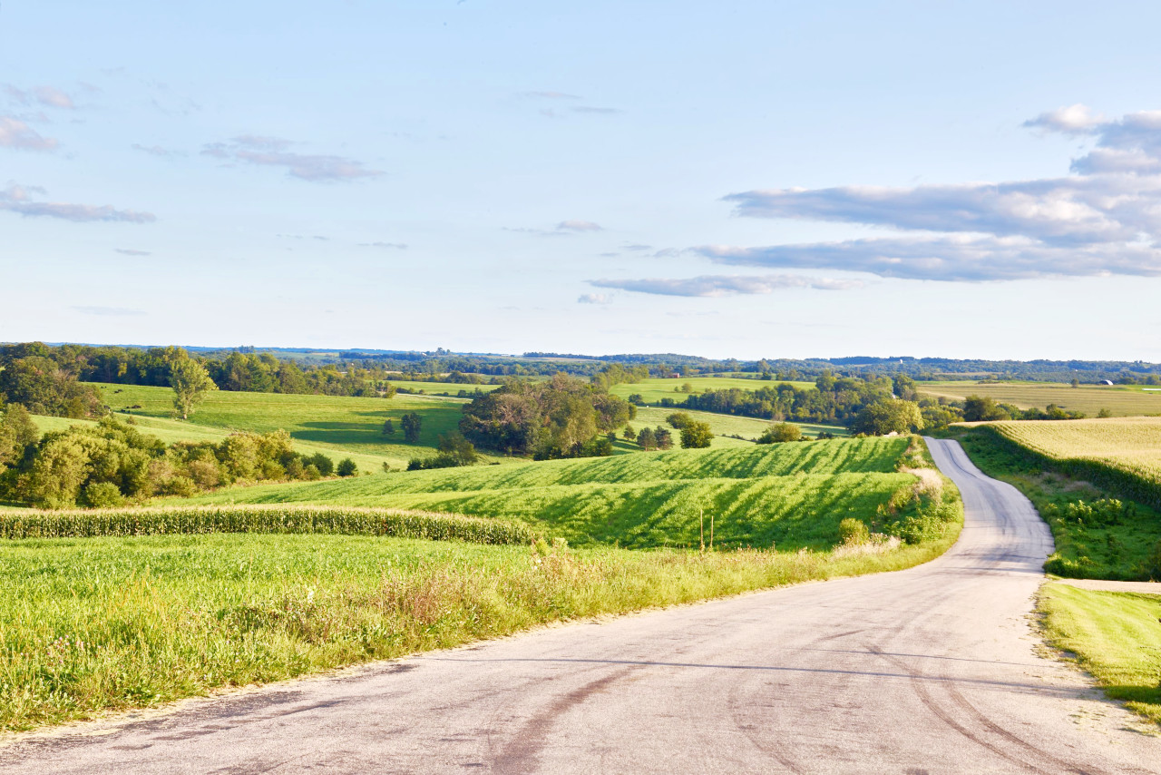
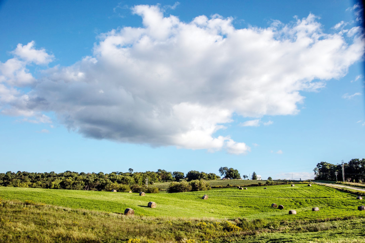
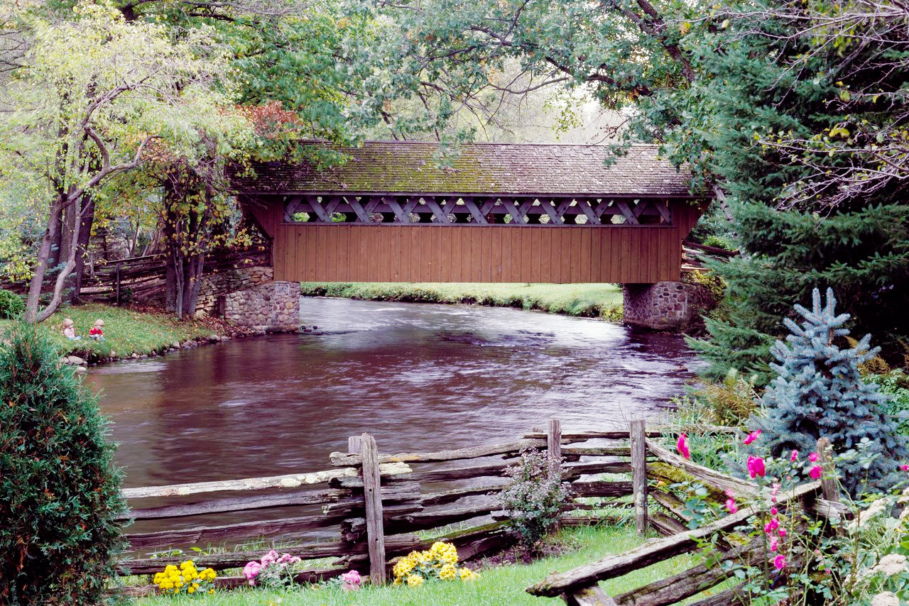
Wisconsin has so many different types of forests, lakes, and rivers that it's impossible to get bored of the view. The lack of large cities means that you get to see the natural beauty of Wisconsin in a completely unspoiled way. From the shores of Lake Superior and Lake Michigan, to the bluffs of the Mississippi valley, the forests are so majestic and well-maintained that you can feel the calmness and peace that they provide. Wisconsin is the perfect place to enjoy nature at its best.
Contents
Map
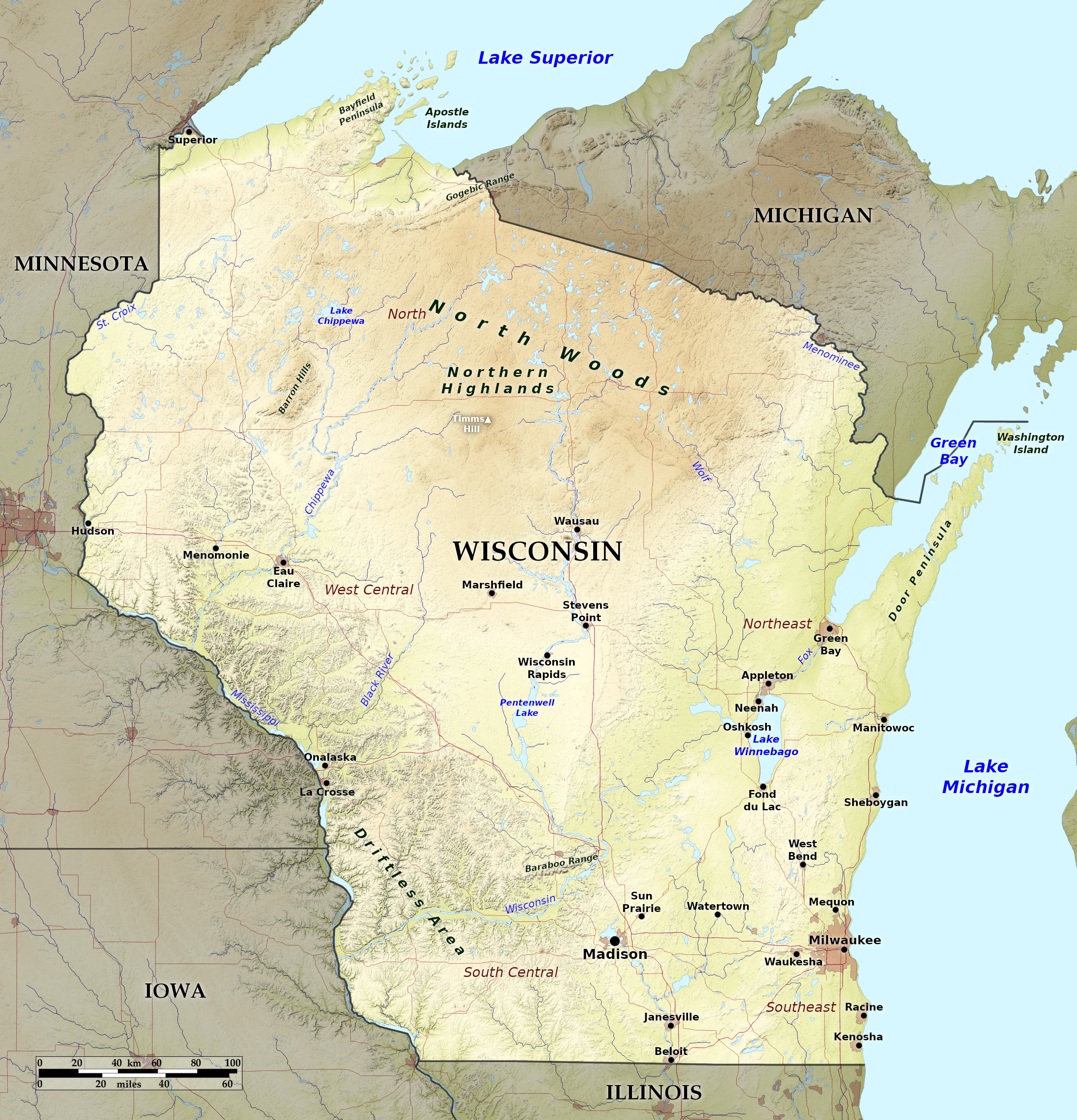 Relief map of Wisconsin
What is the landscape of Wisconsin like?
The landscape of Wisconsin is an undulating plateau where the surface is generally rolling. The lowest parts are in the southern and central portions of the state, where the altitude averages around 600 feet (180 m) above sea-level. The highest parts are in the north, where there is a broad swelling of the land up to the highest point—Timms Hill at 1,952 feet (595 m).
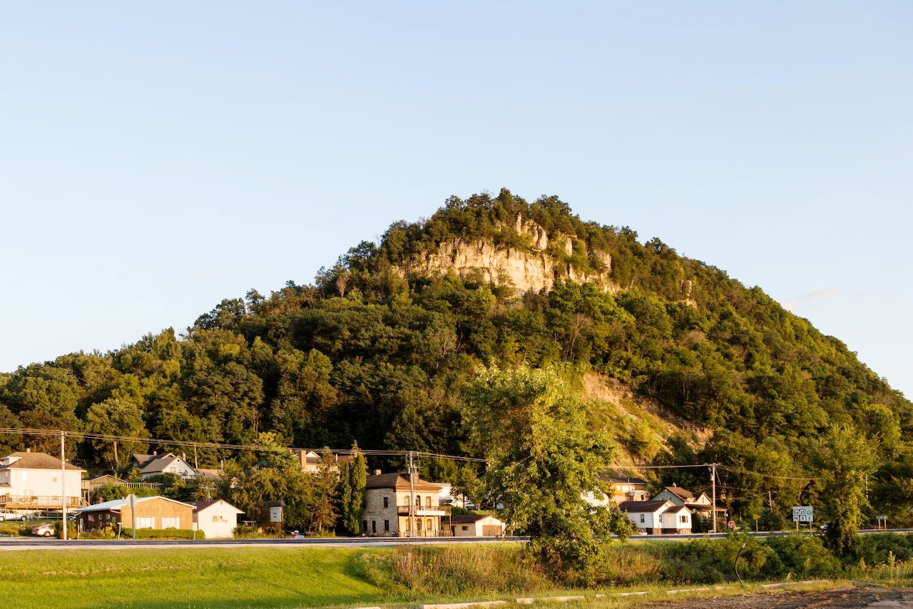
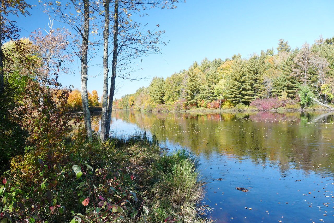
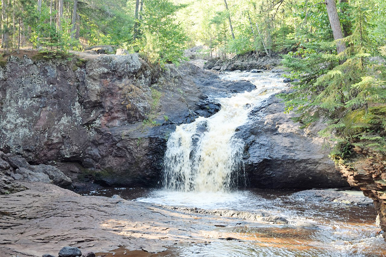
Along the Mississippi and the Wisconsin River runs a chain of bluffs varying in height from 200 to 300 feet (60–90 m), and in the east a rocky limestone ridge some 30 miles back from Lake Michigan extends from the Door Peninsula, east of Lake Winnebago and as far south as the Illinois border. Countless smaller rivers can be found across almost the whole State; their waters are usually clear, originating in springs and small lakes. Many of those at the north have beautiful cascades or rapids; and at the south they often run through narrow rocky gorges.
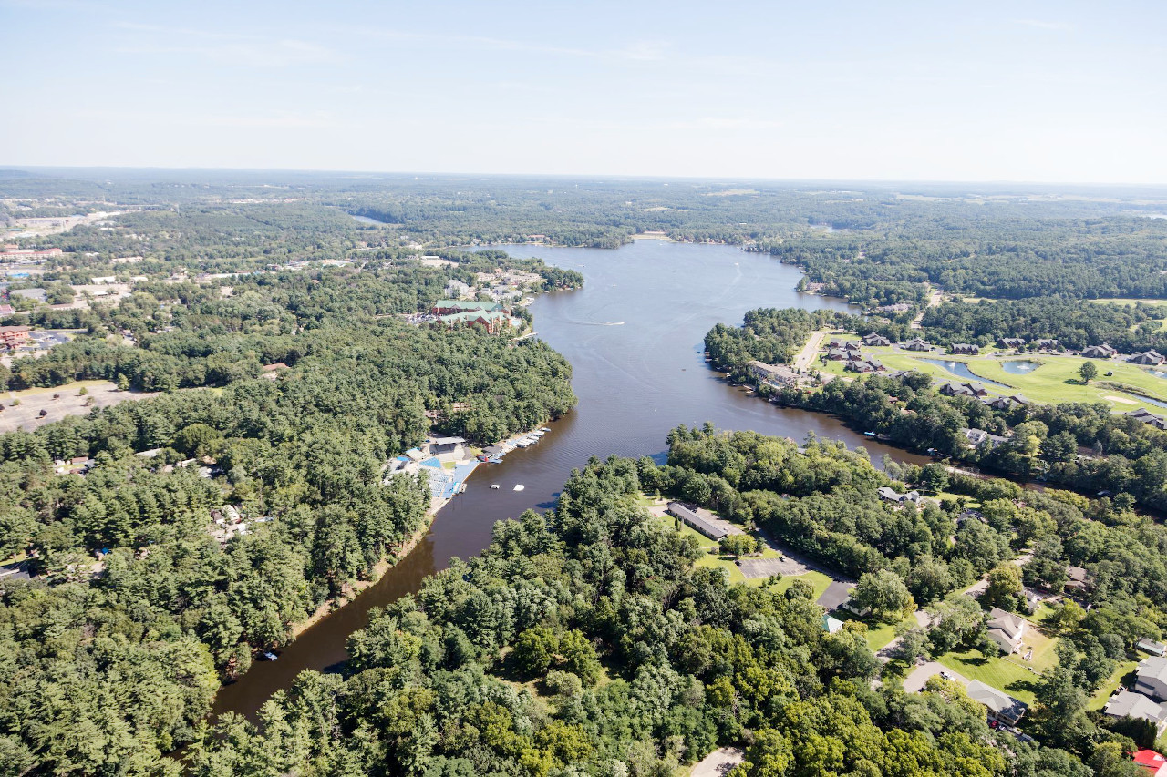
Wisconsin is bounded to the north by Lake Superior, and to the east by Lake Michigan, and there are several islands: the Apostle Islands in Lake Superior, and Washington Island and a number of small islands at the entrance to Green Bay in Lake Michigan. Wisconsin has more than 2,500 lakes, mostly in the north and east parts of the State. Of these the largest is Lake Winnebago with a length of 30 miles. In the south and east parts of Wisconsin the lakes are beautiful clear bodies of water with sandy or gravelled shores, and high banks which are heavily wooded.
What is the nature of Wisconsin like?
The southern and western parts of Wisconsin belong to the prairie region, but in the north and east there are extensive forest belts. The forests are largely coniferous—pine, fir, and hemlock—but there is an additional mix of deciduous trees—elm, oak, poplar, etc.—especially to the south and east. The great prairies of Illinois extend into southern parts of Wisconsin; here flowering plants once occurred so abundantly in the prairies and open districts as often to give a yellow hue to the landscape in the flowering season.
What is the climate of Wisconsin like?
Wisconsin has a continental climate. The winters, especially in the central and north-western sections, are long and severe, and the summers in the central and south-western sections are very warm, though the heat of summer is tempered by the influence of the Great Lakes. Rainfall is very evenly distributed through the State, being only slightly greater in the east than in the west. The greatest amount falls between June and September. Thunderstorms are frequent in summer, but in winter the air is dry and clear, and the snowfall light.
| Climate data for Madison, Wisconsin (1991–2020) | |||||||||||||
|---|---|---|---|---|---|---|---|---|---|---|---|---|---|
| Month | Jan | Feb | Mar | Apr | May | Jun | Jul | Aug | Sep | Oct | Nov | Dec | Year |
| Average high °F (°C) | 27.0 (−2.8) | 31.2 (−0.4) | 43.6 (6.4) | 56.9 (13.8) | 69.0 (20.6) | 78.6 (25.9) | 82.1 (27.8) | 79.9 (26.6) | 72.9 (22.7) | 59.6 (15.3) | 44.8 (7.1) | 32.3 (0.2) | 56.5 (13.6) |
| Daily mean °F (°C) | 19.4 (−7.0) | 23.0 (−5.0) | 34.4 (1.3) | 46.3 (7.9) | 58.1 (14.5) | 68.0 (20.0) | 71.9 (22.2) | 69.7 (20.9) | 62.0 (16.7) | 49.7 (9.8) | 36.7 (2.6) | 25.3 (−3.7) | 47.0 (8.3) |
| Average low °F (°C) | 11.8 (−11.2) | 14.9 (−9.5) | 25.1 (−3.8) | 35.8 (2.1) | 47.1 (8.4) | 57.4 (14.1) | 61.6 (16.4) | 59.5 (15.3) | 51.0 (10.6) | 39.8 (4.3) | 28.7 (−1.8) | 18.2 (−7.7) | 37.6 (3.1) |
| Average precipitation inches (mm) | 1.47 (37) | 1.52 (39) | 2.26 (57) | 3.78 (96) | 4.10 (104) | 5.28 (134) | 4.51 (115) | 4.16 (106) | 3.43 (87) | 2.77 (70) | 2.22 (56) | 1.63 (41) | 37.13 (943) |
| Average snowfall inches (cm) | 13.7 (35) | 12.8 (33) | 7.0 (18) | 2.6 (6.6) | 0.1 (0.25) | 0.0 (0.0) | 0.0 (0.0) | 0.0 (0.0) | 0.0 (0.0) | 0.6 (1.5) | 3.0 (7.6) | 12.0 (30) | 51.8 (132) |
| Source: NOAA | |||||||||||||
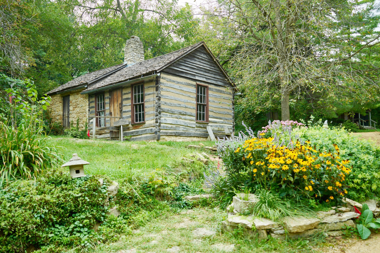
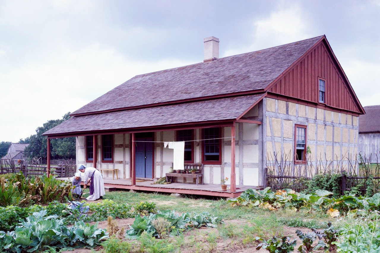 Old World Wisconsin, an outdoor museum in Eagle
The official websites
Wisconsin
The Badger State
| Location: | North-central United States |
| Coordinates: | 44° 30′ N, 90° 00′ W |
| Size: | • 515 km N-S; 475 km E-W • 320 miles N-S; 295 miles E-W |
| Terrain: | Heavily forested rolling hills in the north. Large plains in the center and in the east. Rugged hills in the southwest |
| Climate: | A continental climate. Summers are warm. Winters are snowy and cold especially in the north |
| Highest point: | Timms Hill 595 m / 1,952 ft |
| Forest: | 49% (2016) (source) |
| Population: | 5,893,718 (2020) |
| Population density: | Low (42/km²) |
| Capital: | Madison |
| Languages: | English |
| Human Development Index: | Very High (0.938) |